Ancient Rome · TURNING POINT ·
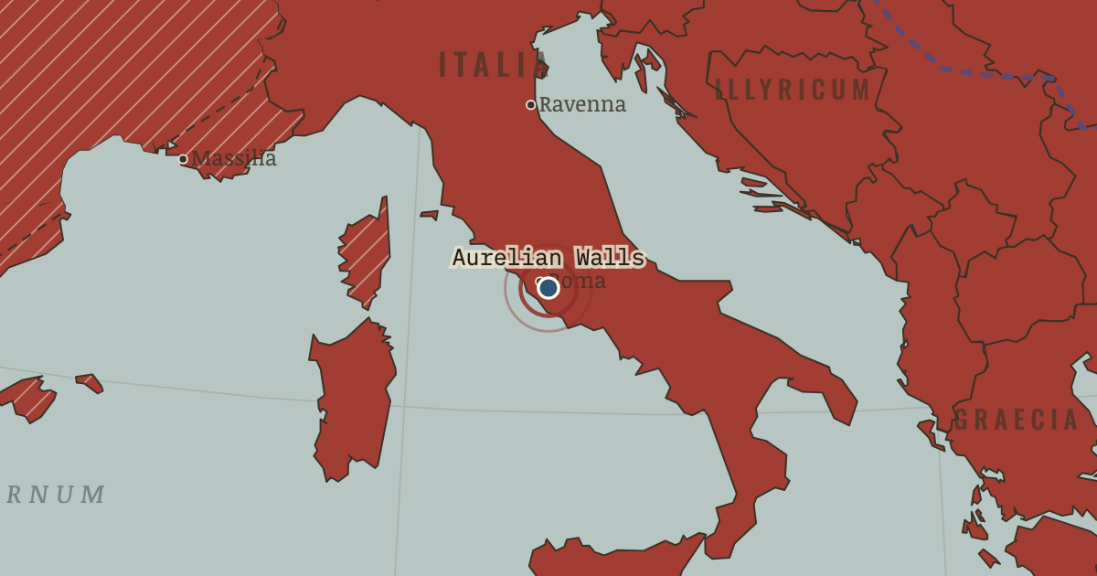
Aurelian Walls (271)
On the Ancient Rome map as “The Aurelian Walls”
AD 271 — For the first time in 500 years, Rome itself needs walls. Nineteen kilometers of brick go up around the capital of the world — the crisis in masonry.
- When
- Type
- Turning point
- Chapter
- Crisis of the Third Century (chapter 8 of Ancient Rome)
- Atlas
- The Rise and Fall of Rome, 264 BC – AD 476
Open this map in the interactive atlas →
Chapter 8 is part of membership. WW2 is free — every chapter. Try chapters 1–2 of any 2 other atlases (3 with a free account). Opening a new atlas uses one of them. Membership opens all 21 — Join.
In the same chapter
Related
THE FREE PRINTABLE STUDY GUIDE
Join the Dispatch — a short welcome series, then a letter when a new atlas opens — and the printable study guide for Rome is yours now, free.
NO TRACKING · YOUR ADDRESS IS USED FOR THE DISPATCH AND NOTHING ELSE · UNSUBSCRIBE ANYTIME