ONE LAND · 6 ATLASES
History of Colombia in maps
Colombia as it appears in 6 interactive history atlases, from 1750 to 2015: Colombia, New Granada, New Granada / Colombia. Each era below lists who ruled the land and when control changed, linked to the dated map that shows it.
WW2 is free — every chapter. Try chapters 1–2 of any 2 other atlases (3 with a free account). Opening a new atlas uses one of them. Membership opens all 21 — Join.
Free printable Feminism and the Tunisian Revolution study guide, sent by email ↓
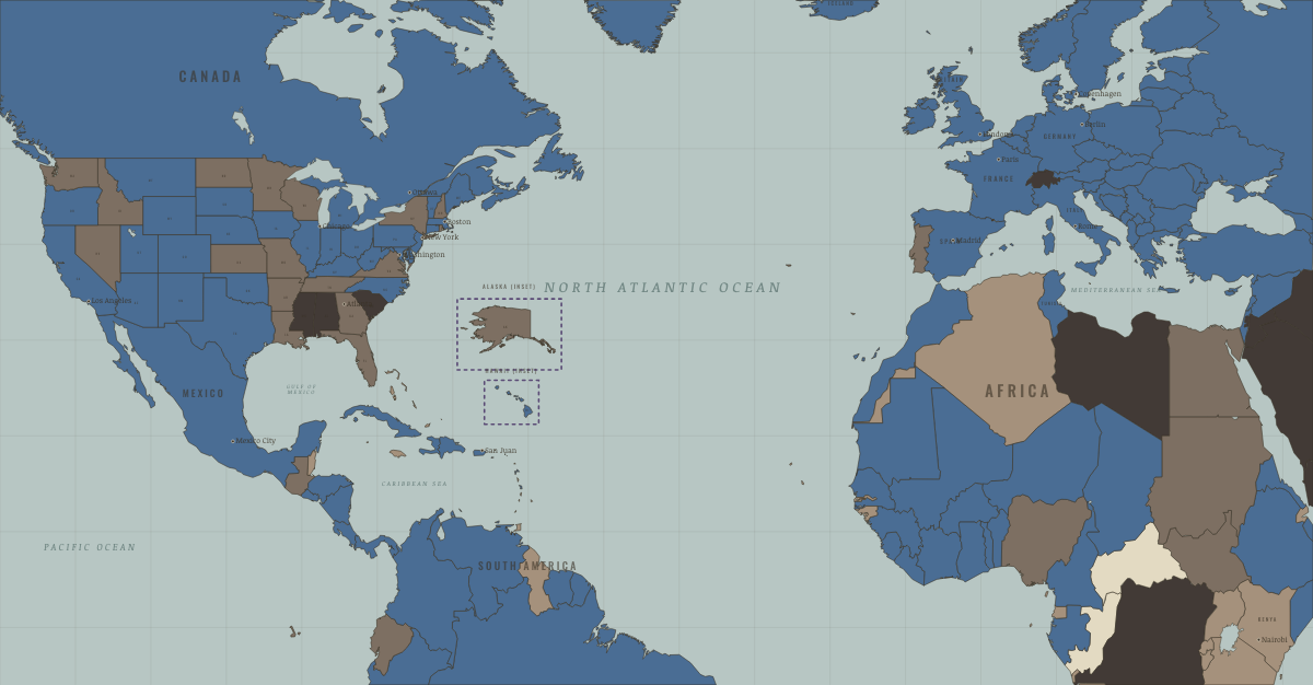
What was Colombia before it was Colombia? Below, every era of this land in the Maps of History atlases — who ruled it, what it was called, and when control changed — each line linked to the dated map that shows it. Modern borders stand in as an honest approximation; every atlas says so on the map itself.
Colombia · Industrial Revolution
| Colony or dependency — the opening position | |
| Agrarian economy |
INDUSTRIAL REVOLUTION: EVERY CHAPTER AND MAP →
New Granada (mod. Colombia) · Age of Revolutions
New Granada: Bolívar’s pivot. Boyacá (1819) gave the revolution a state, Bogotá gave it a capital, and Gran Colombia (with Venezuela and Quito) gave it a short-lived super-state that fractured by 1830 — the Liberator dying en route to exile, writing that he had “ploughed the sea.” The gap between liberation and institution is this territory’s whole lesson.
| Colonial possessions — the opening position | |
| Republics & revolutionary states |
AGE OF REVOLUTIONS: EVERY CHAPTER AND MAP →
New Granada / Colombia · Haiti and Kenya independence
New Granada, at the core of Bolívar’s Gran Colombia, won its independence from Spain by 1819–22. Its creole leaders accepted Haitian help in the war yet kept Haiti out of the Congress of Panama in 1826, wary of a republic made by formerly enslaved people. Colombia abolished slavery in 1851, and Panama, then part of it, broke away in 1903.
| Under colonial rule — the opening position | |
| Other states and societies |
HAITI AND KENYA INDEPENDENCE: EVERY CHAPTER AND MAP →
Colombia · WWI
Colombia · Cold War
| US-aligned states — the opening position |
COLD WAR: EVERY CHAPTER AND MAP →
Colombia · Feminism and the Tunisian Revolution
| Refused: women excluded; ERA never ratified — the opening position | |
| Right won in law | |
| No reform yet / outside this story | |
| Right won in law |
FEMINISM AND THE TUNISIAN REVOLUTION: EVERY CHAPTER AND MAP →
Related
THE FREE PRINTABLE STUDY GUIDE
Join the Dispatch — a short welcome series, then a letter when a new atlas opens — and a printable atlas study guide of your choice is yours now, free.
NO TRACKING · YOUR ADDRESS IS USED FOR THE DISPATCH AND NOTHING ELSE · UNSUBSCRIBE ANYTIME