ONE LAND · 6 ATLASES
History of Ghana in maps
Ghana as it appears in 6 interactive history atlases, from 1890 to 2015: the Gold Coast, Ghana. Each era below lists who ruled the land and when control changed, linked to the dated map that shows it.
WW2 is free — every chapter. Try chapters 1–2 of any 2 other atlases (3 with a free account). Opening a new atlas uses one of them. Membership opens all 21 — Join.
Free printable Feminism and the Tunisian Revolution study guide, sent by email ↓
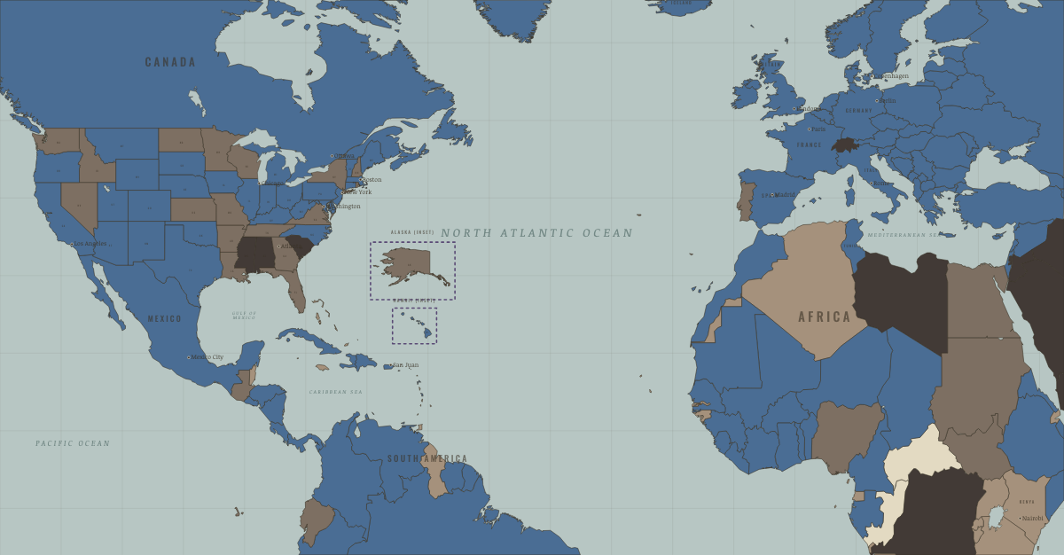
What was Ghana before it was Ghana? Below, every era of this land in the Maps of History atlases — who ruled it, what it was called, and when control changed — each line linked to the dated map that shows it. Modern borders stand in as an honest approximation; every atlas says so on the map itself.
The Gold Coast (mod. Ghana) · Industrial Revolution
The Gold Coast held European forts such as Cape Coast and Elmina, through which hundreds of thousands of captives were shipped to the Americas. The Asante kingdom of the interior was a powerful state that traded gold and captives and resisted British conquest until 1900–01. After the slave trade ended, the coast exported palm oil and, from the 1890s, cocoa.
| Colony or dependency — the opening position | |
| Colony or dependency |
INDUSTRIAL REVOLUTION: EVERY CHAPTER AND MAP →
Ghana · WWI
| Entente-aligned & imperial territories — the opening position |
Ghana · Road to WW2
| Colonial empires & possessions — the opening position |
ROAD TO WW2: EVERY CHAPTER AND MAP →
Ghana · Cold War
| NATO & core Western allies — the opening position | |
| Non-aligned & neutral |
COLD WAR: EVERY CHAPTER AND MAP →
Ghana (Gold Coast) · Decolonization of Africa
The Gold Coast became Ghana on 6 March 1957 — the first sub-Saharan colony to win independence, and the door through which the continent followed. Kwame Nkrumah’s mass party, his prison-to-premier rise and his pan-African vision made Accra the headquarters of African liberation. Cocoa wealth made independence look viable; a one-party drift and the 1966 coup showed how quickly the model could sour. The pioneer of both the triumph and the disappointment.
| British-ruled — the opening position | |
| Independent Africa |
DECOLONIZATION OF AFRICA: EVERY CHAPTER AND MAP →
Ghana · Feminism and the Tunisian Revolution
| Authoritarian, one-party or colonial rule — the opening position | |
| Right won in law | |
| No reform yet / outside this story | |
| Partial or unequal; treaty signed only; transition |
FEMINISM AND THE TUNISIAN REVOLUTION: EVERY CHAPTER AND MAP →
Related
THE FREE PRINTABLE STUDY GUIDE
Join the Dispatch — a short welcome series, then a letter when a new atlas opens — and a printable atlas study guide of your choice is yours now, free.
NO TRACKING · YOUR ADDRESS IS USED FOR THE DISPATCH AND NOTHING ELSE · UNSUBSCRIBE ANYTIME