ONE LAND · 11 ATLASES
History of Ireland in maps
Ireland as it appears in 11 interactive history atlases, from 1095 to 2015: Ireland. Each era below lists who ruled the land and when control changed, linked to the dated map that shows it.
WW2 is free — every chapter. Try chapters 1–2 of any 2 other atlases (3 with a free account). Opening a new atlas uses one of them. Membership opens all 21 — Join.
Free printable Feminism and the Tunisian Revolution study guide, sent by email ↓
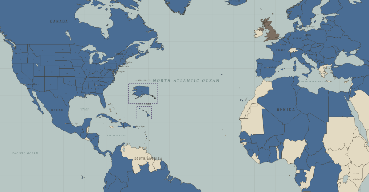
What was Ireland before it was Ireland? Below, every era of this land in the Maps of History atlases — who ruled it, what it was called, and when control changed — each line linked to the dated map that shows it. Modern borders stand in as an honest approximation; every atlas says so on the map itself.
Hibernia (mod. Ireland) · Ancient Rome
ANCIENT ROME: EVERY CHAPTER AND MAP →
Ireland · Norse and Aztecs
Norse raiders founded Dublin in 841 and later Waterford, Wexford and Limerick, which became trading towns tied into the Irish Sea economy, including the slave trade. Dublin stayed a Norse town until the Anglo-Normans took it in 1170–71. Many of the Gaelic people taken to Iceland came from Ireland, and genetic studies show that more than half of Iceland’s founding mothers had Gaelic ancestry.
| Other peoples and states — the opening position |
NORSE AND AZTECS: EVERY CHAPTER AND MAP →
Ireland · Crusades
| Latin Christendom — the opening position |
CRUSADES: EVERY CHAPTER AND MAP →
Ireland (in the United Kingdom from 1801) · Industrial Revolution
Inside the United Kingdom from 1801, Ireland industrialised only in the north-east, where Belfast’s linen mills and shipyards rivalled anything in Britain. Elsewhere it remained a land of small farms and great estates, and the Great Famine of 1845–52 killed about a million people and sent millions more to the factories and docks of Liverpool, Glasgow and America. Irish labour built much of industrial Britain’s canals, railways and cities.
INDUSTRIAL REVOLUTION: EVERY CHAPTER AND MAP →
Ireland · Age of Revolutions
The junction of the age’s hopes and hungers: the United Irishmen’s 1798 rising — republican, French-aided, savagely crushed — led to forced Union with Britain (1801); the Great Famine (1845–49) killed a million and scattered two million more even as 1848’s Young Ireland rising flickered out. Its exiles carried Irish republicanism into every English-speaking country.
| Britain & its empire — the opening position |
AGE OF REVOLUTIONS: EVERY CHAPTER AND MAP →
Ireland · WWI
Ireland fought this war twice over: 200,000 Irishmen served in British uniform while home rule sat suspended — and in Easter 1916 a rising in Dublin, executed leaders, and the conscription crisis turned nationalism from home rule to independence. The war Britain fought for small nations ended with a small nation leaving Britain: the Anglo-Irish war began in 1919.
| The Entente & Allies — the opening position | |
| The Entente & Allies |
Ireland · Road to WW2
| Neutral & unaligned — the opening position |
ROAD TO WW2: EVERY CHAPTER AND MAP →
Ireland · WW2
Ireland · Cold War
COLD WAR: EVERY CHAPTER AND MAP →
Ireland · Feminism and the Tunisian Revolution
| Right won in law — the opening position | |
| No reform yet / outside this story | |
| Right won in law |
FEMINISM AND THE TUNISIAN REVOLUTION: EVERY CHAPTER AND MAP →
Ireland · Refugee crises
REFUGEE CRISES: EVERY CHAPTER AND MAP →
Related
THE FREE PRINTABLE STUDY GUIDE
Join the Dispatch — a short welcome series, then a letter when a new atlas opens — and a printable atlas study guide of your choice is yours now, free.
NO TRACKING · YOUR ADDRESS IS USED FOR THE DISPATCH AND NOTHING ELSE · UNSUBSCRIBE ANYTIME