ONE LAND · 6 ATLASES
History of Rwanda in maps
Rwanda as it appears in 6 interactive history atlases, from 1890 to 2015: Rwanda, Ruanda. Each era below lists who ruled the land and when control changed, linked to the dated map that shows it.
WW2 is free — every chapter. Try chapters 1–2 of any 2 other atlases (3 with a free account). Opening a new atlas uses one of them. Membership opens all 21 — Join.
Free printable Feminism and the Tunisian Revolution study guide, sent by email ↓
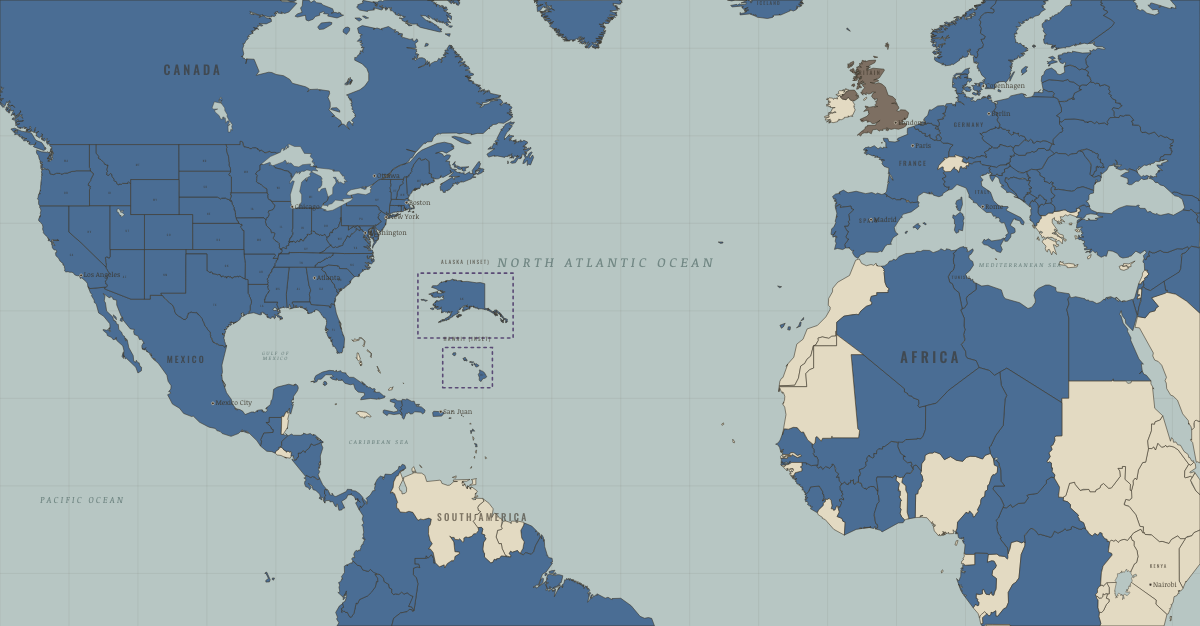
What was Rwanda before it was Rwanda? Below, every era of this land in the Maps of History atlases — who ruled it, what it was called, and when control changed — each line linked to the dated map that shows it. Modern borders stand in as an honest approximation; every atlas says so on the map itself.
Rwanda · Industrial Revolution
| Colony or dependency — the opening position | |
| Colony or dependency |
INDUSTRIAL REVOLUTION: EVERY CHAPTER AND MAP →
Rwanda · Haiti and Kenya independence
Rwanda, a kingdom absorbed into German East Africa, passed to Belgium after the First World War as part of the mandate of Ruanda-Urundi. Belgian rule hardened the distinction between Hutu and Tutsi, and a revolution in 1959–62 overthrew the Tutsi monarchy. Rwanda became independent on 1 July 1962.
| Under colonial rule — the opening position | |
| Other states and societies |
HAITI AND KENYA INDEPENDENCE: EVERY CHAPTER AND MAP →
Ruanda (German East Africa) · WWI
| Germany and its allies — the Central Powers — the opening position | |
| Entente-aligned & imperial territories |
Rwanda · Cold War
| Non-aligned & neutral — the opening position | |
| Non-aligned & neutral |
COLD WAR: EVERY CHAPTER AND MAP →
Rwanda · Decolonization of Africa
A German, then Belgian, mandate ruled through the Tutsi monarchy — until Belgium abruptly switched patronage to the Hutu majority in the 1959 revolution, so that independence in July 1962 arrived already scarred by pogroms and mass flight. Three decades of exclusion later, the exiled Tutsi diaspora’s RPF invaded from Uganda in 1990, and a besieged regime answered with the genocide of April–July 1994: some 800,000 people murdered in a hundred days while the world stood aside. The identity cards Belgium had used to classify Hutu from Tutsi became instruments of the killing. On this map Rwanda is a memorial. Remember them.
| Portuguese, Belgian, Spanish & Italian-ruled — the opening position | |
| Independent Africa |
DECOLONIZATION OF AFRICA: EVERY CHAPTER AND MAP →
Rwanda · Feminism and the Tunisian Revolution
| Authoritarian, one-party or colonial rule — the opening position | |
| No reform yet / outside this story | |
| Right won in law |
FEMINISM AND THE TUNISIAN REVOLUTION: EVERY CHAPTER AND MAP →
Related
THE FREE PRINTABLE STUDY GUIDE
Join the Dispatch — a short welcome series, then a letter when a new atlas opens — and a printable atlas study guide of your choice is yours now, free.
NO TRACKING · YOUR ADDRESS IS USED FOR THE DISPATCH AND NOTHING ELSE · UNSUBSCRIBE ANYTIME