ONE LAND · 6 ATLASES
History of Tanzania in maps
Tanzania as it appears in 6 interactive history atlases, from 1890 to 2015: Tanzania, German East Africa / Tanganyika, German East Africa. Each era below lists who ruled the land and when control changed, linked to the dated map that shows it.
WW2 is free — every chapter. Try chapters 1–2 of any 2 other atlases (3 with a free account). Opening a new atlas uses one of them. Membership opens all 21 — Join.
Free printable Feminism and the Tunisian Revolution study guide, sent by email ↓
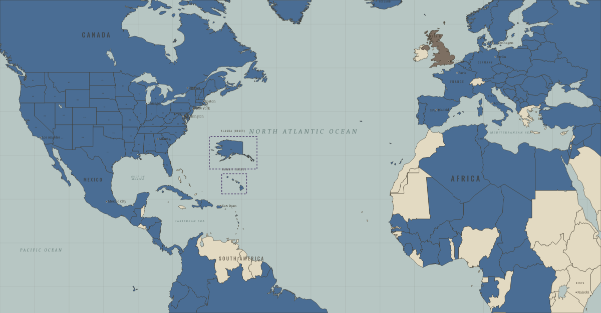
What was Tanzania before it was Tanzania? Below, every era of this land in the Maps of History atlases — who ruled it, what it was called, and when control changed — each line linked to the dated map that shows it. Modern borders stand in as an honest approximation; every atlas says so on the map itself.
Tanzania · Industrial Revolution
| Colony or dependency — the opening position | |
| Colony or dependency |
INDUSTRIAL REVOLUTION: EVERY CHAPTER AND MAP →
German East Africa / Tanganyika · Haiti and Kenya independence
German East Africa, ruled from Dar es Salaam, saw the Maji Maji rising of 1905–07 crushed with famine and great loss of life. After the First World War Britain governed it as Tanganyika under a League of Nations mandate, which limited settler land grants. Julius Nyerere’s TANU led it to independence on 9 December 1961; in 1964 it united with Zanzibar as Tanzania.
| Under colonial rule — the opening position | |
| Other states and societies |
HAITI AND KENYA INDEPENDENCE: EVERY CHAPTER AND MAP →
German East Africa · WWI
German East Africa — Lettow-Vorbeck’s theater (Ch. 9): four years of fighting retreat that tied down 130,000 imperial troops, waged across African bodies: porters died in the hundreds of thousands, and requisition brought famine. Partitioned at the peace as League mandates — Tanganyika to Britain, Ruanda-Urundi to Belgium: empire renamed, not ended.
| Germany and its allies — the Central Powers — the opening position | |
| Entente-aligned & imperial territories |
Tanzania · Cold War
| NATO & core Western allies — the opening position | |
| Non-aligned & neutral |
COLD WAR: EVERY CHAPTER AND MAP →
Tanzania · Decolonization of Africa
Tanganyika won independence peacefully in 1961 and united with Zanzibar as Tanzania in 1964. Julius Nyerere — “Mwalimu,” the teacher — was the era’s most respected leader: his 1967 Arusha Declaration set out Ujamaa, an honest homegrown socialism of self-reliance and equality whose economic results were poor but whose nation-building held a plural country together where others fractured. He also handed power on voluntarily — a rarity.
| British-ruled — the opening position | |
| Independent Africa |
DECOLONIZATION OF AFRICA: EVERY CHAPTER AND MAP →
Tanzania · Feminism and the Tunisian Revolution
| Authoritarian, one-party or colonial rule — the opening position | |
| No reform yet / outside this story | |
| Right won in law |
FEMINISM AND THE TUNISIAN REVOLUTION: EVERY CHAPTER AND MAP →
Related
THE FREE PRINTABLE STUDY GUIDE
Join the Dispatch — a short welcome series, then a letter when a new atlas opens — and a printable atlas study guide of your choice is yours now, free.
NO TRACKING · YOUR ADDRESS IS USED FOR THE DISPATCH AND NOTHING ELSE · UNSUBSCRIBE ANYTIME