ON THIS DAY ·
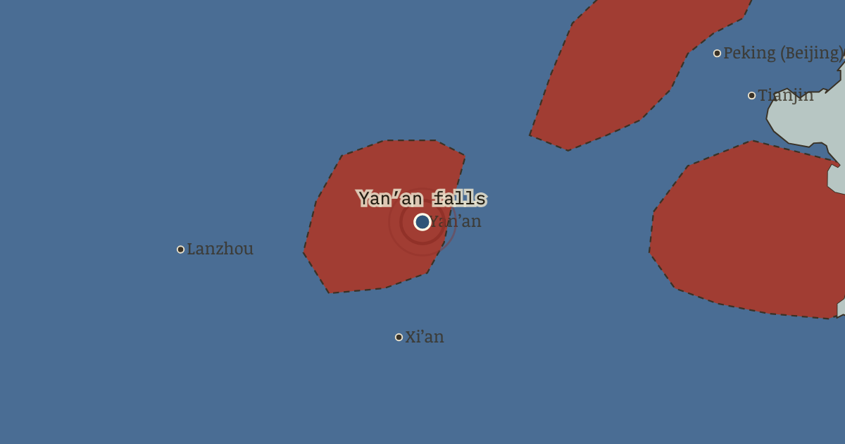
Fall of Yan’an
19 Mar 1947 — Hu Zongnan’s 200,000 take the empty cave capital: the CCP has evacuated everything that matters and lets the symbol go. Nationalist banners photograph well over a town of no military value while Lin Biao counterattacks in Manchuria. High tide, and the turn.
WW2 is free — every chapter. Try chapters 1–2 of any 2 other atlases (3 with a free account). Opening a new atlas uses one of them. Membership opens all 21 — Join.
Free printable Chinese Revolution study guide, sent by email ↓
The moment in context
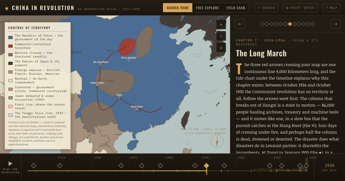
The postwar race was fundamentally about position, because accepting the Japanese surrender also meant occupying the territory a rival might otherwise take. Japan’s surrender opened the largest land-grab in Chinese history, and the map draws it as exactly that race. The two tan arrows from the north are August Storm (the ● at Harbin), for the Soviet Union entered the war on 9 August 1945 and overran Manchukuo in eleven days. It then stripped the region’s factories, a reparations commission later pricing the removals near nine hundred million dollars, and with studied ambiguity let captured Japanese arsenals leak to the Communist columns arriving on foot and by junk from Shandong (the red arrow across the gulf). The blue arrow up the coast is the other racer, as America sealifted and airlifted half a million Nationalist troops north to take the surrenders of a million Japanese, the greatest troop movement Washington ever performed for an ally and the clearest statement of whose China it preferred. In between, the hatching records what both parties already knew, that Manchuria, Japan’s industrial estate and the one region where a Chinese war could be won with factories, was contested from the hour it was created. Its countryside was turning red before its cities had finished changing flags.
From Chinese Civil War (1945–47), chapter 10 of China in Revolution, 1911–1949 (1946).
The place: Fall of Yan’an — map and full story →
Teach this in 5 minutes
- Why it happened — Manchuria as the decisive prize. Whoever held the northeast held the only industrial complex in China, ports and railways facing a friendly USSR, and grain surpluses to feed an…
- The turn — August Storm, 9–20 August 1945. Eleven Soviet days created the civil war’s decisive arena and dealt its opening hands: Japanese arsenals within Communist reach, a stripped…
- What it changed — The countryside is reorganized while the cities are besieged. From May 1946 the party converts wartime rent reduction into outright land redistribution across the northern base areas — violent, sweeping, and…
Then ask the room: The “lost chance” debate: could the 1945–46 mediation have produced a coalition China — or was the civil war already decided? The argued answer is on the chapter page →
The atlas that shows it
THE FREE PRINTABLE STUDY GUIDE
Join the Dispatch — a short welcome series, then a letter when a new atlas opens — and the printable study guide for China in Revolution is yours now, free.
NO TRACKING · YOUR ADDRESS IS USED FOR THE DISPATCH AND NOTHING ELSE · UNSUBSCRIBE ANYTIME