ON THIS DAY ·
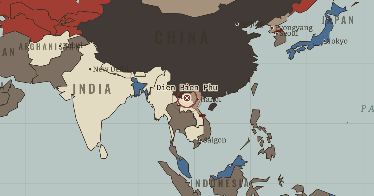
Battle of Dien Bien Phu
13 Mar–7 May 1954 — Giap’s peasant army hauls artillery up jungle mountains and destroys a French fortress of 15,000. A European empire is beaten in open battle; Geneva partitions Vietnam within weeks.
WW2 is free — every chapter. Try chapters 1–2 of any 2 other atlases (3 with a free account). Opening a new atlas uses one of them. Membership opens all 21 — Join.
The moment in context
The war grew out of France’s defeat at Dien Bien Phu in 1954, which ended colonial rule but left the promised reunification elections unheld. American leaders came to treat South Vietnam less as a place worth defending for its own sake than as a test of whether US commitments anywhere would be believed. This credibility logic made each new escalation feel necessary, even as South Vietnam’s governments remained unstable, changed hands repeatedly, and never won broad legitimacy among the people they claimed to lead.
From Vietnam War, chapter 7 of The Cold War, 1945–1991 (AUG 1968).
The place: Battle of Dien Bien Phu — map and full story →
Teach this in 5 minutes
- Why it happened — The domino logic and its critics. The theory treated nationalism as a transmission belt for Moscow and Beijing, when in Vietnam communism was the nationalist movement. Ho had led the…
- The turn — Tet, 30 January 1968 — the hinge of perception. An offensive that fails on every military metric succeeds at the only level that ends wars fought by consent: it breaks the story the American…
- What it changed — The costs, counted honestly. Vietnamese military and civilian dead: commonly estimated 1.5–3.6 million across both zones, plus hundreds of thousands in Laos and Cambodia before…
Then ask the room: Could the United States have won in Vietnam — and what would “winning” have had to mean? The argued answer is on the chapter page →
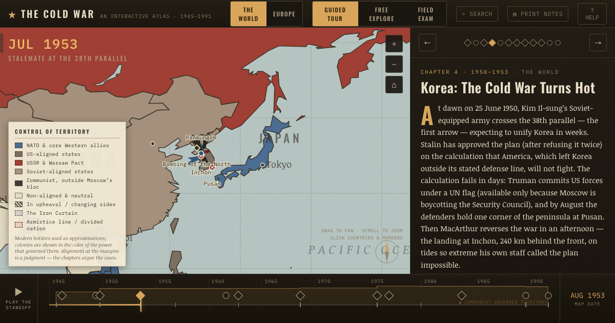
The atlas that shows it
THE FREE PRINTABLE STUDY GUIDE
Join the Dispatch — a short welcome series, then a letter when a new atlas opens — and the printable study guide for The Cold War is yours now, free.
NO TRACKING · YOUR ADDRESS IS USED FOR THE DISPATCH AND NOTHING ELSE · UNSUBSCRIBE ANYTIME