ON THIS DAY ·
Siege of Ascalon
19 Aug 1153 — the last Fatimid fortress on the coast surrenders after a seven-month siege. The Kingdom of Jerusalem reaches its greatest extent; from here, the map only shrinks.
WW2 is free — every chapter. Try chapters 1–2 of any 2 other atlases (3 with a free account). Opening a new atlas uses one of them. Membership opens all 21 — Join.
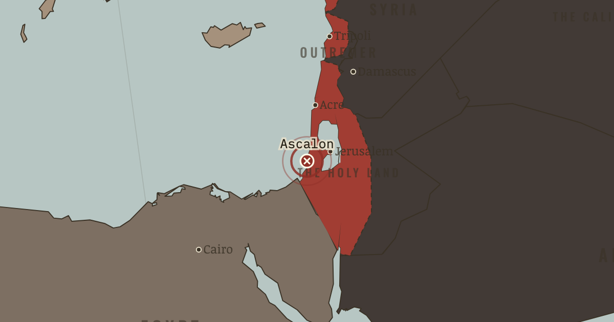
The moment in context
The crusader states held their ground through concentration rather than numbers, and every one of their strengths and weaknesses traces back to that single fact. There were never more than a few hundred thousand Franks spread across all four states, ruling a far larger native population, so they could not settle the countryside densely and instead dominated it from strongpoints. A network of great castles such as Krak des Chevaliers allowed a small body of knights to control roads and frontiers, forcing any attacker into long and costly sieges. The whole society was organized around holding what it had rather than expanding, and its energy went into defence rather than conquest.
From Crusader states (Outremer), chapter 3 of The Crusades, 1095–1291 (1150).
The place: Siege of Ascalon — map and full story →
Teach this in 5 minutes
- Why it happened — The tyranny of numbers. The Franks were always a minority — perhaps a few hundred thousand across all four states, over a much larger native population. They could not…
- The turn — Ascalon, 1153 — the high-water mark. The fall of the last Fatimid fortress on the coast is Outremer at its largest and most confident. But it is a peak reached just as the ground shifts…
- What it changed — A brittle strength. On the map Outremer looks solid; underneath it is hollow. A society organized entirely around defence can be undone by a single lost field army,…
Then ask the room: Was Outremer a colonial society, a frontier society, or something for which we have no clean word? The argued answer is on the chapter page →
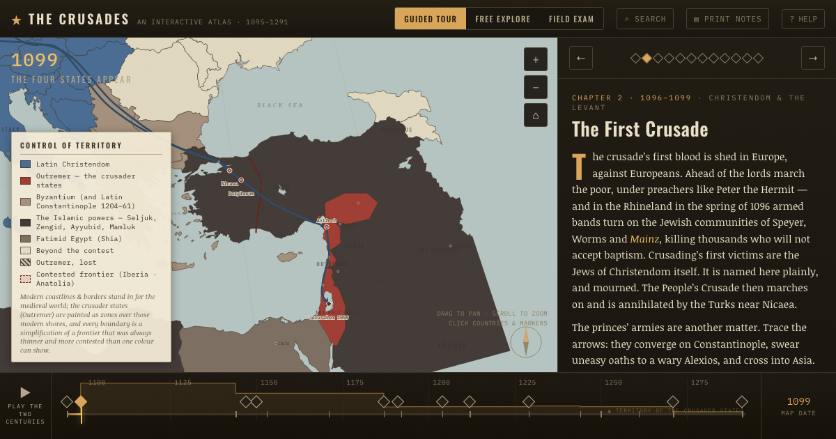
The atlas that shows it
THE FREE PRINTABLE STUDY GUIDE
Join the Dispatch — a short welcome series, then a letter when a new atlas opens — and the printable study guide for The Crusades is yours now, free.
NO TRACKING · YOUR ADDRESS IS USED FOR THE DISPATCH AND NOTHING ELSE · UNSUBSCRIBE ANYTIME