ON THIS DAY ·
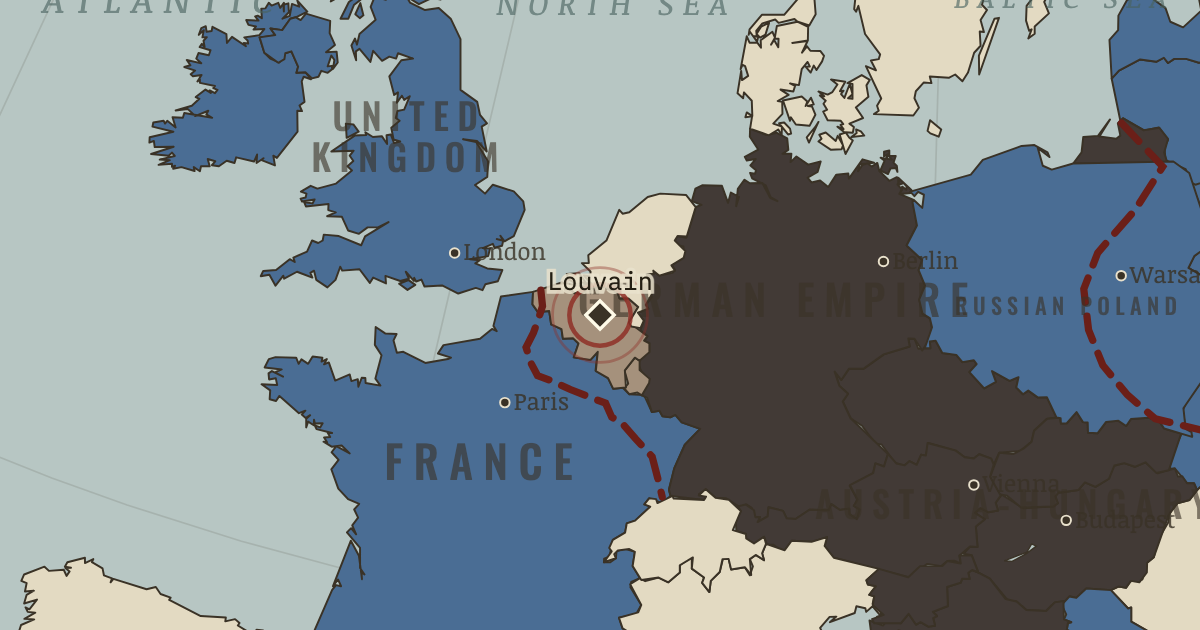
Destruction of Louvain
25-30 Aug 1914 — German troops, panicked by rumors of francs-tireurs, burn the medieval university city and its library of 300,000 books, and shoot 248 civilians. Some 6,500 Belgian and French civilians are killed in the invasion. Remember them.
WW2 is free — every chapter. Try chapters 1–2 of any 2 other atlases (3 with a free account). Opening a new atlas uses one of them. Membership opens all 21 — Join.
The moment in context
The arrows sweeping through Belgium show Germany’s attempt to defeat France before Russia could bring its full weight to bear. Belgian resistance at the frontier forts and German violence against Belgian civilians slowed the advance and handed the Allies a powerful propaganda story. France’s own attacks in Lorraine, launched in the belief that spirit would overcome firepower, failed within days at appalling cost. Russia meanwhile invaded East Prussia earlier than German planners had expected, forcing Germany to divide its attention between two fronts at the decisive moment.
From Schlieffen Plan and the Marne, chapter 4 of The Great War, 1871–1923 (AUG 1914).
The place: Destruction of Louvain — map and full story →
Teach this in 5 minutes
- Why it happened — The two-front arithmetic. Germany’s core problem since 1894: France and Russia together outnumbered it, but Russia mobilized slowly. Schlieffen’s answer was sequence —…
- The turn — The Marne, 5–12 September. A German staff officer, Lieutenant-Colonel Hentsch, sent forward with authority to coordinate a retreat, found the gap between First and Second…
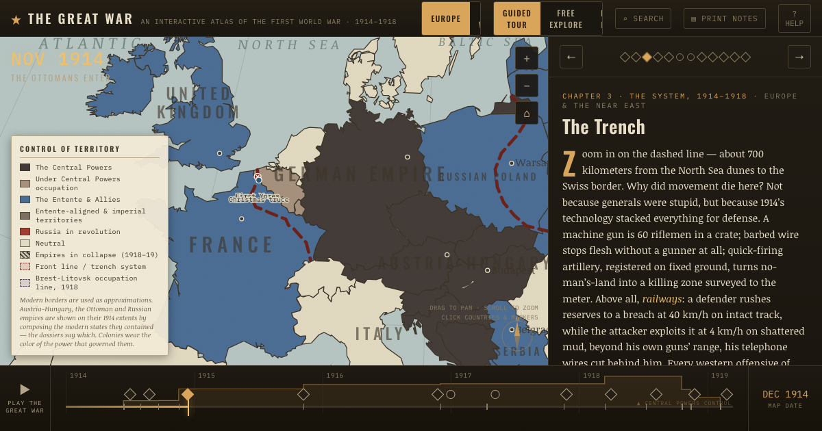
- What it changed — The race to the sea — and the wall. Each side tries to turn the other’s open flank northward until there are no flanks left, only a fortified line from Switzerland to the Channel.…
Then ask the room: The Schlieffen Plan came within 50 km of Paris. Was it a near-run gamble, or never really possible? The argued answer is on the chapter page →
The atlas that shows it
THE FREE PRINTABLE STUDY GUIDE
Join the Dispatch — a short welcome series, then a letter when a new atlas opens — and the printable study guide for WWI is yours now, free.
NO TRACKING · YOUR ADDRESS IS USED FOR THE DISPATCH AND NOTHING ELSE · UNSUBSCRIBE ANYTIME