ON THIS DAY ·
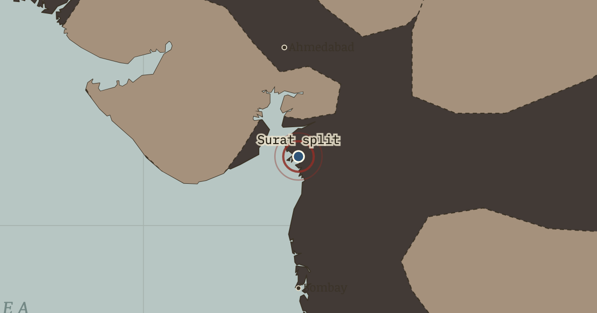
Surat split
26 Dec 1907 — Congress breaks into Moderates and Extremists on the floor of its Surat session — chairs thrown, session abandoned. Constitutional petition or mass pressure? The argument that starts here runs to 1947.
WW2 is free — every chapter. Try chapters 1–2 of any 2 other atlases (3 with a free account). Opening a new atlas uses one of them. Membership opens all 21 — Join.
Free printable Indian independence study guide, sent by email ↓
The moment in context
Curzon’s reform carried a political edge that its administrative logic could not hide. In October 1905 he divided Bengal, the Raj’s most populous province, into a western half around Calcutta and a new eastern province of Eastern Bengal and Assam governed from Dacca. The practical case was real, since one lieutenant-governor could not run 78 million people, but his officials recorded the political advantage plainly. “Bengal united is a power,” one minuted, “Bengal divided will pull several different ways.” The new province gave Muslims a majority and Dacca a capital, while the old one left Bengali speakers outnumbered by Biharis and Oriyas. Bengalis of both faiths read the redrawing as vivisection, and their reaction created the repertoire that Indian nationalism would use for the next forty years. Under the banner of Swadeshi, meaning reliance on goods made in one’s own country, they burned Manchester cloth, founded national schools and banks, and tied rakhi threads across Hindu and Muslim wrists in Tagore’s processions. The age of polite petitioning ended in a single autumn.
From Partition of Bengal and Swadeshi, chapter 4 of Indian Independence & Partition, 1857–1964 (OCT 1905).
The place: Surat split — map and full story →
Teach this in 5 minutes
- Why it happened — An administrative logic with a political edge. Bengal genuinely was ungovernable as one unit. But the chosen line was one of several available, and officials candidly recorded its advantage: it…
- The turn — 16 October 1905 — the day of the partition. The day the partition takes legal effect, Bengal declares mourning: shops shut, hearths cold, the Kali temple thronged, and Tagore leads processions…
- What it changed — The Raj learns retreat is possible — and so does India. The 1911 annulment was meant to buy quiet. Instead it set the precedent every later campaign invoked: sustained agitation moves London. A government…
Then ask the room: The partition of Bengal was annulled — the agitation won. Why do historians still treat 1905 as the beginning of the road to 1947 rather than a nationalist victory story? The argued answer is on the chapter page →
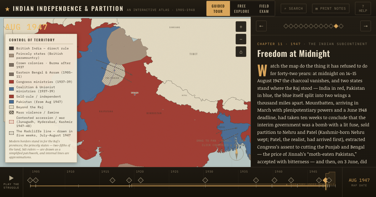
The atlas that shows it
THE FREE PRINTABLE STUDY GUIDE
Join the Dispatch — a short welcome series, then a letter when a new atlas opens — and the printable study guide for Indian Independence & Partition is yours now, free.
NO TRACKING · YOUR ADDRESS IS USED FOR THE DISPATCH AND NOTHING ELSE · UNSUBSCRIBE ANYTIME