ONE LAND · 4 ATLASES
History of Botswana in maps
Botswana as it appears in 4 interactive history atlases, from 1890 to 1994: Botswana. Each era below lists who ruled the land and when control changed, linked to the dated map that shows it.
WW2 is free — every chapter. Try chapters 1–2 of any 2 other atlases (3 with a free account). Opening a new atlas uses one of them. Membership opens all 21 — Join.
Free printable Industrial Revolution study guide, sent by email ↓
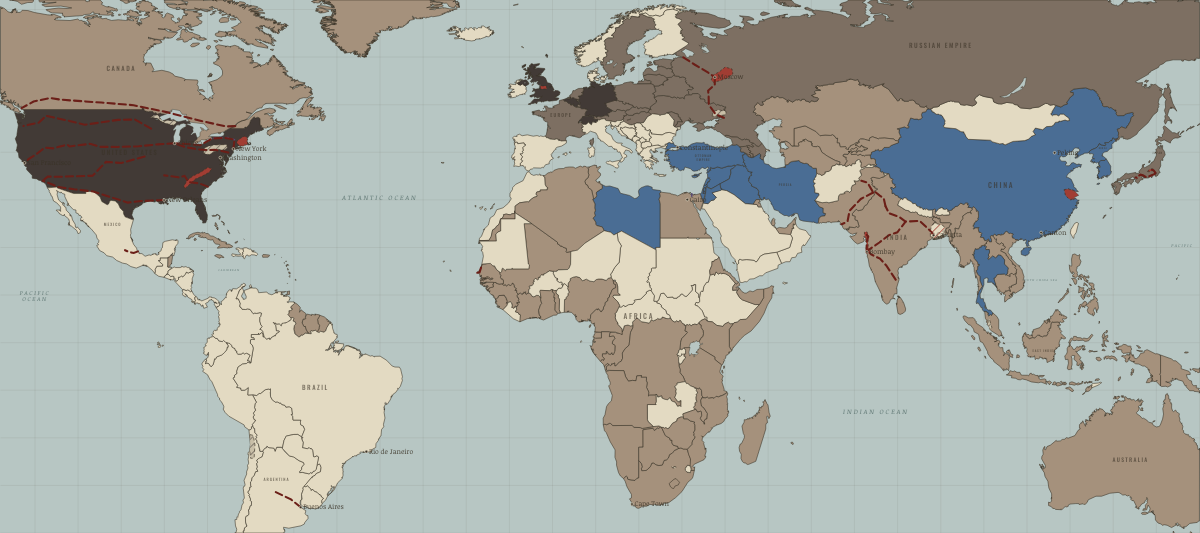
What was Botswana before it was Botswana? Below, every era of this land in the Maps of History atlases — who ruled it, what it was called, and when control changed — each line linked to the dated map that shows it. Modern borders stand in as an honest approximation; every atlas says so on the map itself.
Botswana · Industrial Revolution
| Colony or dependency — the opening position | |
| Colony or dependency |
INDUSTRIAL REVOLUTION: EVERY CHAPTER AND MAP →
Botswana · WWI
| Entente-aligned & imperial territories — the opening position |
Botswana · Cold War
| NATO & core Western allies — the opening position | |
| Non-aligned & neutral |
COLD WAR: EVERY CHAPTER AND MAP →
Botswana · Decolonization of Africa
The Bechuanaland Protectorate became Botswana in September 1966 — poor, landlocked, and all but surrounded by white-ruled states, it looked among the least promising of the new nations. Under Seretse Khama it confounded the pessimists: a functioning multiparty democracy, and, once diamonds were found, one of the fastest-growing economies in the world. A frontline state that sheltered refugees while quietly proving the era’s democratic exception was possible.
| British-ruled — the opening position | |
| Independent Africa |
DECOLONIZATION OF AFRICA: EVERY CHAPTER AND MAP →
Related
THE FREE PRINTABLE STUDY GUIDE
Join the Dispatch — a short welcome series, then a letter when a new atlas opens — and a printable atlas study guide of your choice is yours now, free.
NO TRACKING · YOUR ADDRESS IS USED FOR THE DISPATCH AND NOTHING ELSE · UNSUBSCRIBE ANYTIME