ONE LAND · 6 ATLASES
History of Nigeria in maps
Nigeria as it appears in 6 interactive history atlases, from 1890 to 2015: Nigeria. Each era below lists who ruled the land and when control changed, linked to the dated map that shows it.
WW2 is free — every chapter. Try chapters 1–2 of any 2 other atlases (3 with a free account). Opening a new atlas uses one of them. Membership opens all 21 — Join.
Free printable Feminism and the Tunisian Revolution study guide, sent by email ↓
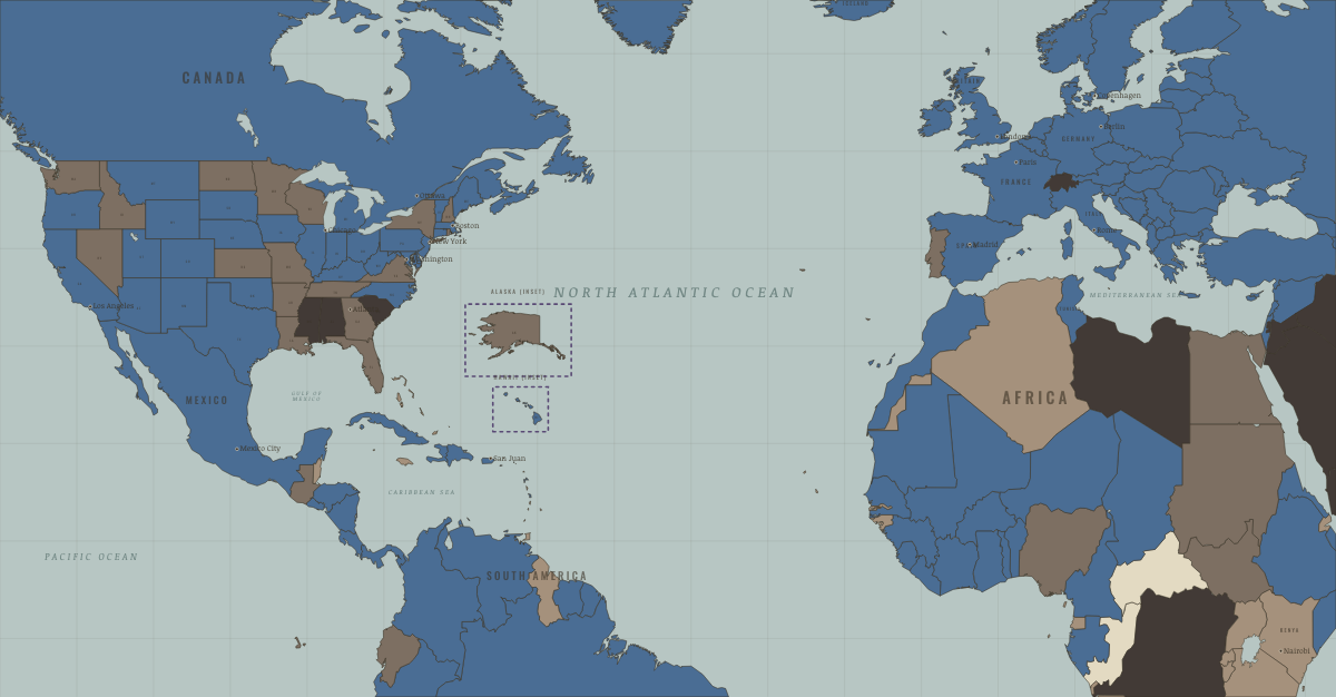
What was Nigeria before it was Nigeria? Below, every era of this land in the Maps of History atlases — who ruled it, what it was called, and when control changed — each line linked to the dated map that shows it. Modern borders stand in as an honest approximation; every atlas says so on the map itself.
Nigeria · Industrial Revolution
The states and merchants of the Niger delta were major suppliers of enslaved people in the eighteenth century and turned, after British abolition, to palm oil, which lubricated the machines and made the soap of industrial Britain. Britain annexed Lagos in 1861 and extended its rule across the region by 1903, when it conquered the Sokoto Caliphate.
| Colony or dependency — the opening position | |
| Colony or dependency |
INDUSTRIAL REVOLUTION: EVERY CHAPTER AND MAP →
Nigeria · WWI
| Entente-aligned & imperial territories — the opening position |
Nigeria · Road to WW2
| Colonial empires & possessions — the opening position |
ROAD TO WW2: EVERY CHAPTER AND MAP →
Nigeria · Cold War
| NATO & core Western allies — the opening position | |
| Non-aligned & neutral |
COLD WAR: EVERY CHAPTER AND MAP →
Nigeria · Decolonization of Africa
The most populous nation in Africa — a British-built federation of three great regions and some 250 peoples — became independent on 1 October 1960, the continent’s great federal experiment. Within six years the same regional fault lines cracked into two coups, anti-Igbo pogroms, and the Biafran secession and war, in which perhaps a million died, mostly of famine. Oil wealth and enormous scale made Nigeria both Africa’s giant and its hardest balancing act.
| British-ruled — the opening position | |
| Independent Africa |
DECOLONIZATION OF AFRICA: EVERY CHAPTER AND MAP →
Nigeria · Feminism and the Tunisian Revolution
| Authoritarian, one-party or colonial rule — the opening position | |
| Partial or unequal; treaty signed only; transition | |
| No reform yet / outside this story | |
| Right won in law |
FEMINISM AND THE TUNISIAN REVOLUTION: EVERY CHAPTER AND MAP →
Related
THE FREE PRINTABLE STUDY GUIDE
Join the Dispatch — a short welcome series, then a letter when a new atlas opens — and a printable atlas study guide of your choice is yours now, free.
NO TRACKING · YOUR ADDRESS IS USED FOR THE DISPATCH AND NOTHING ELSE · UNSUBSCRIBE ANYTIME