ONE LAND · 10 ATLASES
History of the United States of America in maps
The United States of America as it appears in 10 interactive history atlases, from 790 to 1991: Northern North America, the United States, United States, United States of America. Each era below lists who ruled the land and when control changed, linked to the dated map that shows it.
WW2 is free — every chapter. No sign-up.
What was the United States of America before it was United States of America? Below, every era of this land in the Maps of History atlases — who ruled it, what it was called, and when control changed — each line linked to the dated map that shows it. Modern borders stand in as an honest approximation; every atlas says so on the map itself.
Northern North America (mod. USA) · Norse and Aztecs
| Indigenous peoples of the North — the opening position |
NORSE AND AZTECS: EVERY CHAPTER AND MAP →
The United States (British colonies to 1776) · Industrial Revolution
From British colonies to the world’s largest industrial economy in a century and a half. Slave-grown cotton was its leading export before 1861; railways, steel, oil, meat-packing and immigrant labour made it an industrial giant after the Civil War, and by 1913 it made about a third of the world’s manufactured goods. Its wealth rested on resources taken from Native American nations and on labour drawn from three continents.
| Colony or dependency — the opening position | |
| Agrarian economy | |
| Industrialising | |
| Industrial economy |
INDUSTRIAL REVOLUTION: EVERY CHAPTER AND MAP →
United States (the Thirteen Colonies) · Age of Revolutions
The age’s opening act and standing exhibit: the republic that proved independence possible (1783), doubled itself with Louisiana thanks to Haiti’s victory (1803), survived a rematch with Britain (1812–15), and declared the hemisphere closed (1823). Its constitution traveled everywhere its cotton did — and its half-million enslaved people had become two million by 1848: the age’s greatest promise and greatest evasion in one flag.
| Britain & its empire — the opening position | |
| Republics & revolutionary states |
AGE OF REVOLUTIONS: EVERY CHAPTER AND MAP →
The United States · Haiti and Kenya independence
The United States, the first independent state in the Americas, was Haiti’s most important trading partner and its most reluctant neighbour. Slaveholding interests secured a trade embargo in 1806, and recognition came only in 1862, after the slave states had left Congress. Some 10,000 refugees from Saint-Domingue reached New Orleans by way of Cuba in 1809. From 1915 to 1934 US Marines occupied Haiti and ran its customs.
| Other states and societies — the opening position |
HAITI AND KENYA INDEPENDENCE: EVERY CHAPTER AND MAP →
The United States · American Civil War
The belligerent. One nation on this map and two at war inside it: 22 million people, nine-tenths of the industry and the navy against an 11-state Confederacy founded, in its own documents, to perpetuate slavery. Four years and roughly 750,000 dead settled two questions forever — the Union is indivisible, and no person in it is property — and deferred a third, the content of Black citizenship, for a century. The zones painted over this single map shape are the whole story: charcoal Confederacy, tan border belt, and the grey-tan of Union control spreading along coasts and rivers until nothing else remains. Follow chapters 1–13.
| The Union — the opening position |
AMERICAN CIVIL WAR: EVERY CHAPTER AND MAP →
United States of America · WWI
Neutral and profiting until the U-boat and the Zimmermann telegram made neutrality untenable (Ch. 8, 10); at war from April 1917 “to make the world safe for democracy.” Its credit saved the Entente before its 2-million-man army decided 1918 (Ch. 12). Wilson then designed the peace’s architecture — and the Senate declined to inhabit it: the world’s new strongest power went home.
| The Entente & Allies — the opening position | |
| The Entente & Allies |
United States of America · Stalin’s Soviet Union
| Rivals & the Western bloc — the opening position | |
| Rivals & the Western bloc |
STALIN’S SOVIET UNION: EVERY CHAPTER AND MAP →
United States of America · Road to WW2
The absent weight. Outside the League it helped design, armored in Neutrality Acts while selling scrap iron to Japan, it moved by degrees — quarantine speech, cash-and-carry, destroyers-for-bases, Lend-Lease, embargo — from spectator to arsenal to belligerent, the last step chosen for it at Pearl Harbor and by Hitler’s unforced declaration four days later.
| Democracies & powers fighting them — the opening position |
ROAD TO WW2: EVERY CHAPTER AND MAP →
United States of America · WW2
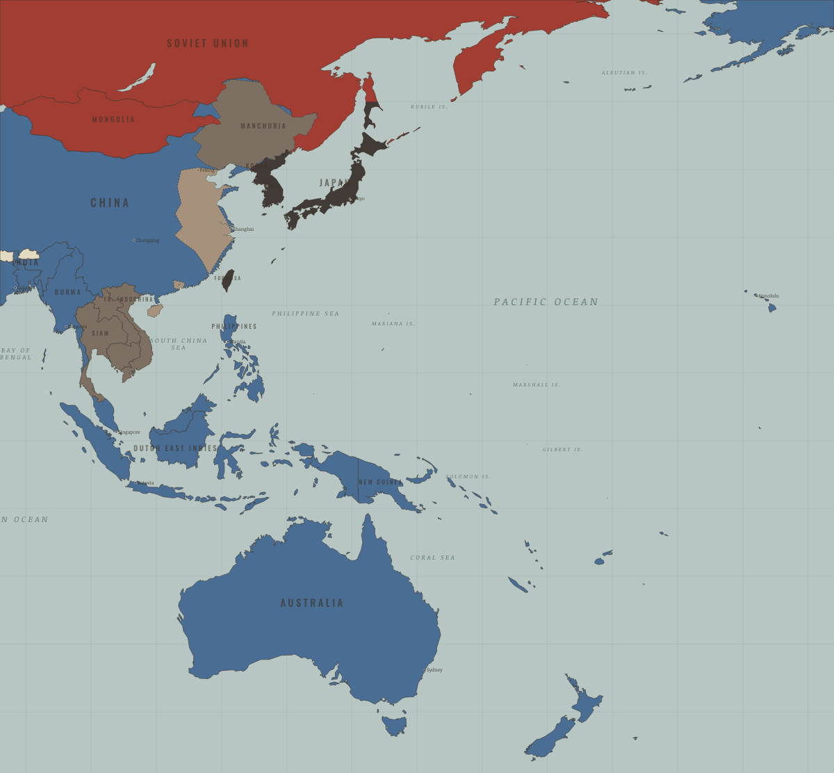
Neutral arsenal, then (after Pearl Harbor) the alliance’s engine: two-ocean navy, strategic bombing, D-Day, the bomb — and 40% of the world’s war production. Emerged as superpower with its homeland untouched, wrote the postwar order, and has led it since.
| Neutral — the opening position | |
| Western Allies |
United States of America · Cold War
The other superpower — the only combatant of 1945 to emerge richer, and the architect of the Western order: Marshall money, NATO, Bretton Woods, the bomb. It fought the era by proxy and paid at home in red scares, a broken presidency, and 58,000 names on a wall in Washington. It ended the era as the last superpower standing — a position, this atlas suggests, that is a situation to be managed, not a verdict.
| NATO & core Western allies — the opening position |
COLD WAR: EVERY CHAPTER AND MAP →
Related
THE FREE PRINTABLE STUDY GUIDE
Join the Dispatch — a short welcome series, then a letter when a new atlas opens — and a printable atlas study guide of your choice is yours now, free.
NO TRACKING · YOUR ADDRESS IS USED FOR THE DISPATCH AND NOTHING ELSE · UNSUBSCRIBE ANYTIME