ON THIS DAY ·
Delhi Durbar
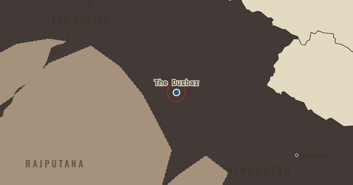
1 Jan 1903 — Curzon stages the Coronation Durbar: 173 princes ride past in order of gun-salute, a hierarchy of 21 guns down to 9. The pageant is the Raj’s theory of itself — permanence performed. It has forty-four years left.
WW2 is free — every chapter. Try chapters 1–2 of any 2 other atlases (3 with a free account). Opening a new atlas uses one of them. Membership opens all 21 — Join.
Free printable Indian independence study guide, sent by email ↓
The moment in context
The scale of the Raj becomes intelligible only through its arithmetic. A single viceroy, answerable to London, governed some 300 million people through only about 1,100 covenanted civil servants and an army that Indians themselves largely paid for. Lord Curzon, the ablest and most self-assured of the viceroys, had staged that apparent permanence at the Delhi durbar of 1903, a Mughal-style pageant in which 173 princes rode past in strict order of gun-salute so that empire could perform its own eternity. Yet the pageant concealed how little of the map the Crown actually ruled directly. Two-fifths of the land was the tan patchwork of the princely states, ranging from Hyderabad — larger than France, with sixteen million subjects — down to estates of a single village, each under its own maharaja, nawab or nizam through the relationship of paramountcy. The Raj was therefore many legal arrangements at once: direct provinces, treaty princes, leased tracts and frontier agencies. Grasping that unevenness is the first step to understanding how it later came apart.
From British Raj at its height, chapter 3 of Indian Independence & Partition, 1857–1964 (JAN 1905).
The place: Delhi Durbar — map and full story →
Teach this in 5 minutes
- Why it happened — Conquest completed, confidence at its peak. By 1905 the conquest phase was a half-century past — the Mutiny of 1857 crushed, the Crown ruling directly since 1858, the frontier fixed against…
- The turn — The Delhi durbar, 1 January 1903. Curzon’s durbar is the hinge because nothing happens: an empire at its absolute zenith stages a Mughal ceremony to declare itself eternal, with the…
- What it changed — Curzon overreaches within the year. The same confidence that staged the durbar partitioned Bengal in 1905 — an administrative stroke Curzon believed too obviously rational to resist.…
Then ask the room: The Raj governed 300 million people with a few thousand British officials. Was that a sign of strength or of fragility? The argued answer is on the chapter page →
The atlas that shows it
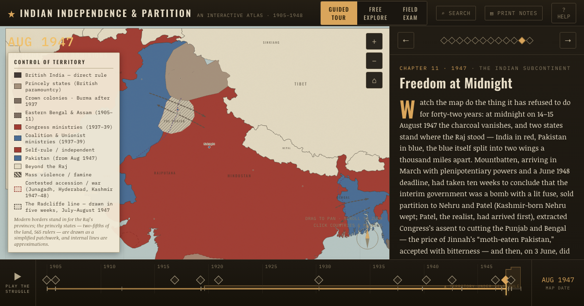
THE FREE PRINTABLE STUDY GUIDE
Join the Dispatch — a short welcome series, then a letter when a new atlas opens — and the printable study guide for Indian Independence & Partition is yours now, free.
NO TRACKING · YOUR ADDRESS IS USED FOR THE DISPATCH AND NOTHING ELSE · UNSUBSCRIBE ANYTIME