ON THIS DAY ·
Stresa Front
11–14 Apr 1935 — Britain, France and Italy meet on Lake Maggiore to condemn German rearmament. The “front” dissolves within months — Britain signs a naval deal with Berlin, and Abyssinia finishes it.
WW2 is free — every chapter. Try chapters 1–2 of any 2 other atlases (3 with a free account). Opening a new atlas uses one of them. Membership opens all 21 — Join.

The moment in context
Conservative politicians made Hitler chancellor on 30 January 1933 because they believed his movement could be tamed and turned against the left, and this misjudgment is where the disaster begins. Once in office, the Nazis moved with a speed their sponsors had not imagined. Emergency decrees, organised intimidation and the Enabling Act swept away the constitution’s limits within weeks, converting a coalition post into a dictatorship. Germany left the League and the disarmament conference that same year, began rebuilding its army in defiance of Versailles, and made the persecution of its own citizens a matter of state policy.
From Hitler’s rise and German rearmament, chapter 3 of The Road to War, 1931–1941 (1935).
The place: Stresa Front — map and full story →
Teach this in 5 minutes
- Why it happened — A republic died of its rescuers. Weimar’s final crisis was managed by men who despised it: from 1930 chancellors governed by presidential decree, and the conservative clique around…
- The turn — Stresa, April 1935. The conference on Lake Maggiore is the moment collective containment of Hitler exists on paper — Britain, France and Italy, jointly condemning…
- What it changed — The arms race resumes with one runner. By 1936 Germany is spending perhaps ten times what Britain spends on its army. The democracies begin serious rearmament only in 1936–37, and their…
Then ask the room: Hitler wrote his program in Mein Kampf a decade before power. Why did so few statesmen believe him? The argued answer is on the chapter page →
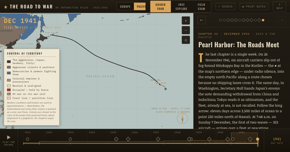
The atlas that shows it
THE FREE PRINTABLE STUDY GUIDE
Join the Dispatch — a short welcome series, then a letter when a new atlas opens — and the printable study guide for The Road to War is yours now, free.
NO TRACKING · YOUR ADDRESS IS USED FOR THE DISPATCH AND NOTHING ELSE · UNSUBSCRIBE ANYTIME