ON THIS DAY ·
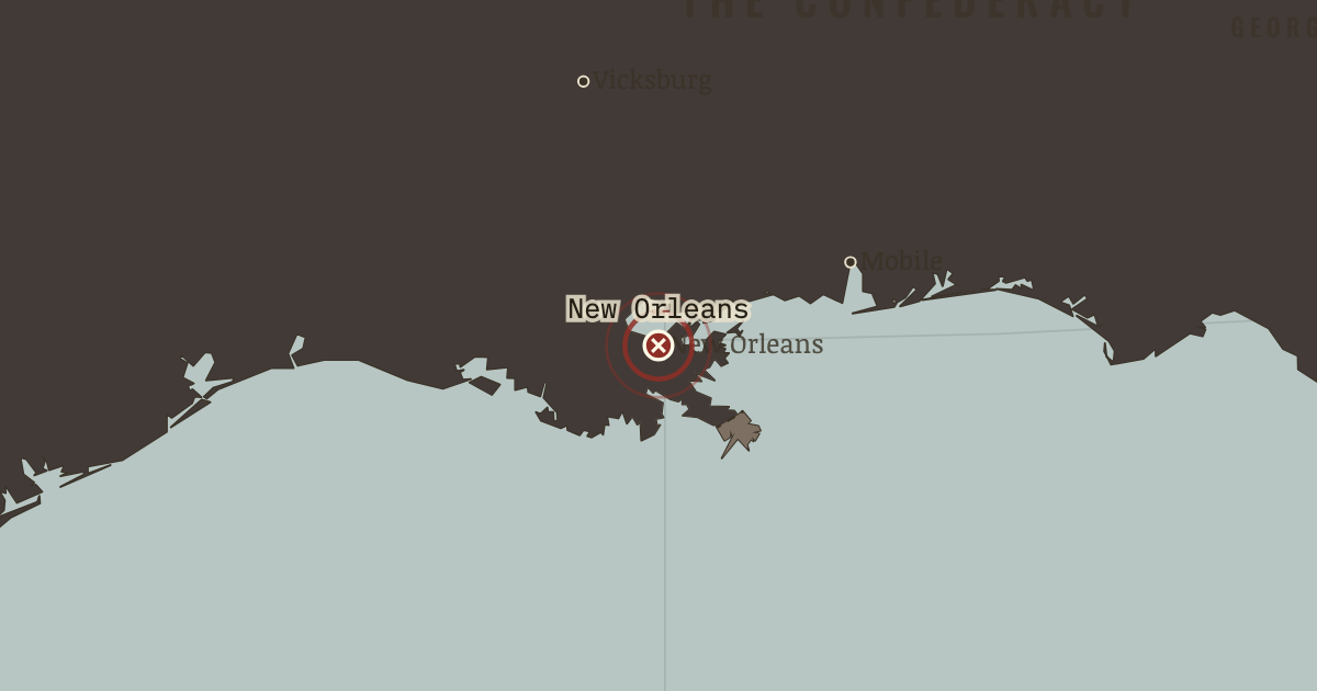
Capture of New Orleans
24–25 Apr 1862 — Farragut runs his fleet past the river forts in the dark and takes the Confederacy’s largest city and richest port without a siege. The mouth of the Mississippi is corked from the sea.
WW2 is free — every chapter. Try chapters 1–2 of any 2 other atlases (3 with a free account). Opening a new atlas uses one of them. Membership opens all 21 — Join.
Free printable American Civil War study guide, sent by email ↓
The moment in context
A blockade works through arithmetic rather than drama, which is why its effects were easy to underestimate at the time. It did not need to stop every ship, only to raise freight, insurance, delay, and loss until fewer useful supplies arrived at a far higher price. The growth of the Union navy from a few dozen ships to hundreds made that pressure stronger each year. Occupying the coast produced a second consequence its planners had not fully intended, because at places such as Port Royal enslaved people escaped to the fleet and forced commanders to decide whether federal forces would return human beings to their claimants or treat them as free.
From Anaconda Plan and the river war, chapter 5 of The American Civil War, 1840–1877 (APR 1862).
The place: Capture of New Orleans — map and full story →
Teach this in 5 minutes
- Why it happened — Geography as strategy. The Tennessee and Cumberland rivers pierce the Confederate defensive line like open gates. Navigable highways leading south, immune to burned…
- The turn — Shiloh, 6–7 April 1862. Albert Sidney Johnston’s dawn attack was the Confederacy’s one real chance to destroy a Union army in the West and re-lock the river gates. It died…
- What it changed — The Confederate heartland starts to bleed. With Nashville and Memphis fall the South’s iron, gunpowder mills, and its most productive farm belt. Watch the grey-tan wedge in Tennessee never…
Then ask the room: The Anaconda Plan was ridiculed in 1861 and essentially followed thereafter. Why do slow strategies get adopted only after fast ones fail? The argued answer is on the chapter page →
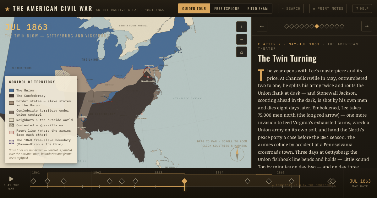
The atlas that shows it
THE FREE PRINTABLE STUDY GUIDE
Join the Dispatch — a short welcome series, then a letter when a new atlas opens — and the printable study guide for The American Civil War is yours now, free.
NO TRACKING · YOUR ADDRESS IS USED FOR THE DISPATCH AND NOTHING ELSE · UNSUBSCRIBE ANYTIME