ON THIS DAY ·
Battle of Jutland
31 May-1 Jun 1916 — The dreadnought fleets meet once: Britain loses more ships and men, Germany returns to port and, at fleet scale, never comes out again. A tactical draw; a strategic verdict.
WW2 is free — every chapter. Try chapters 1–2 of any 2 other atlases (3 with a free account). Opening a new atlas uses one of them. Membership opens all 21 — Join.
The moment in context
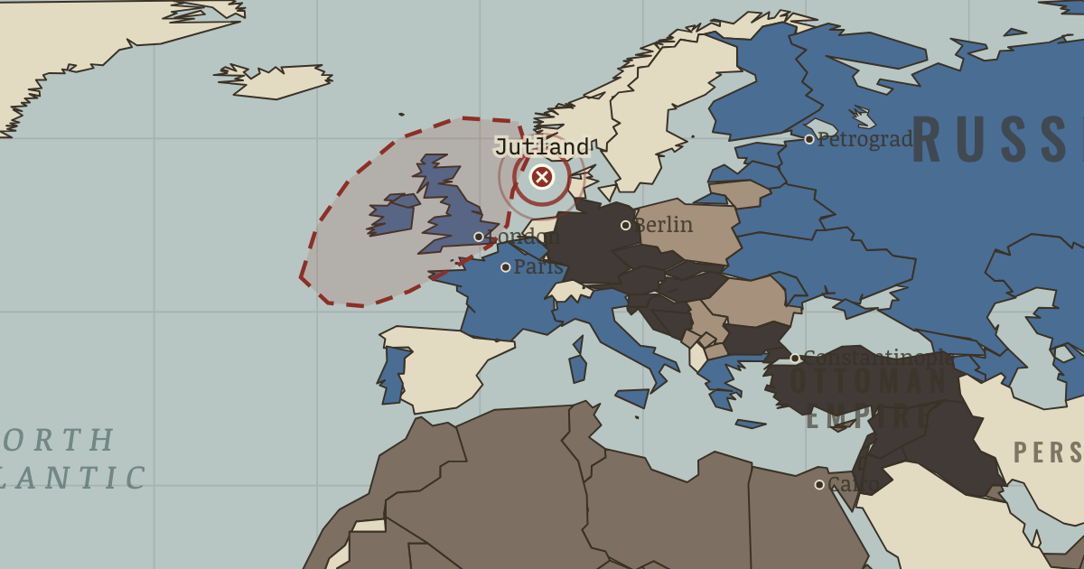
On the world map, Britain controls the exits from the North Sea and uses that control to restrict Germany’s overseas trade. The blockade steadily reduced German access to food, fertilizer and raw materials, working slowly and contributing to severe civilian hunger. Estimates of how many Germans died of blockade-related causes remain disputed, but the reality of the deprivation is not in doubt.
From Blockade and U-boat war in WWI, chapter 8 of The Great War, 1871–1923 (JAN 1917).
The place: Battle of Jutland — map and full story →
Teach this in 5 minutes
- Why it happened — Why Germany built a fleet it couldn’t use. Tirpitz’s “risk fleet” was meant to be dangerous enough that Britain would concede colonies and neutrality rather than fight. It achieved the…
- The turn — Convoy adopted, May 1917. Within six months of the first escorted convoys, shipping losses fall by two-thirds while U-boat sinkings double: the same ocean, the same boats, a…
- What it changed — America in. Unrestricted sinking plus the Zimmermann telegram (Berlin inviting Mexico to attack the United States — intercepted by British codebreakers and…
Then ask the room: Both blockades starved civilians to force a government’s hand. Is there a defensible moral line between the British blockade and the U-boat campaign? The argued answer is on the chapter page →
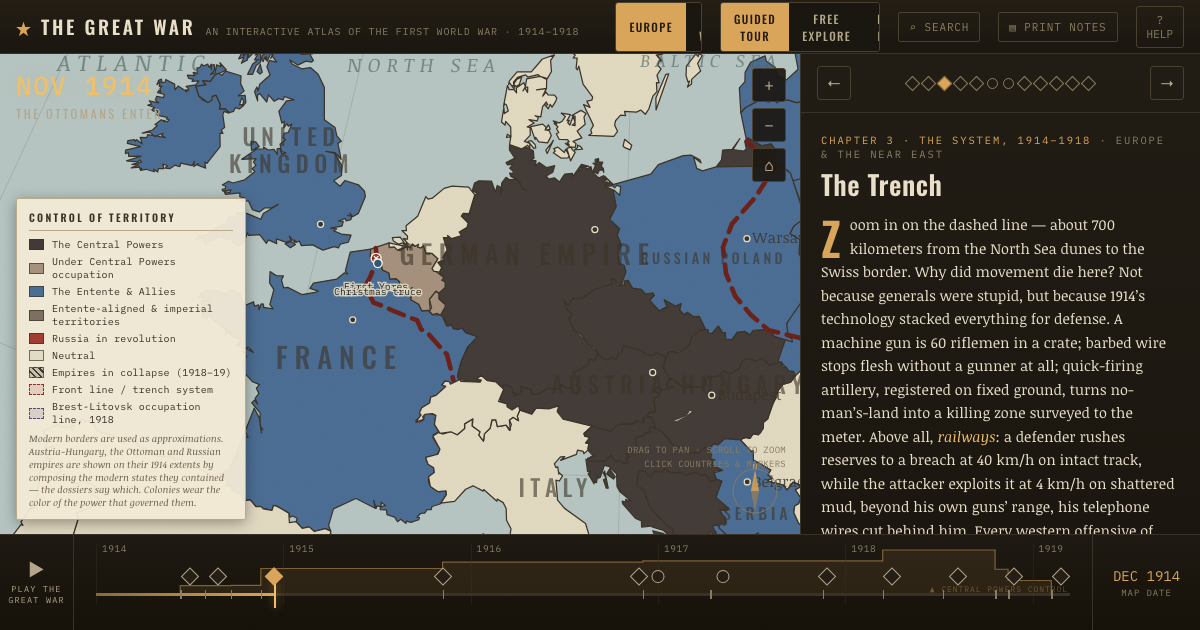
The atlas that shows it
THE FREE PRINTABLE STUDY GUIDE
Join the Dispatch — a short welcome series, then a letter when a new atlas opens — and the printable study guide for WWI is yours now, free.
NO TRACKING · YOUR ADDRESS IS USED FOR THE DISPATCH AND NOTHING ELSE · UNSUBSCRIBE ANYTIME