ON THIS DAY ·
Yellow River flood
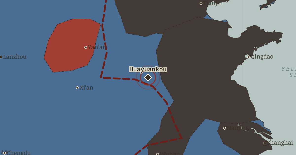
9 Jun 1938 — To halt the drive on Wuhan, Nationalist engineers breach the Yellow River dikes at Huayuankou — without warning the villages below. The river swings south across three provinces: hundreds of thousands drown or starve (estimates run 500,000–900,000), millions flee. It slows Japan by months. Whether anything can justify it is a question this map leaves open. Remember Huayuankou.
WW2 is free — every chapter. Try chapters 1–2 of any 2 other atlases (3 with a free account). Opening a new atlas uses one of them. Membership opens all 21 — Join.
Free printable Chinese Revolution study guide, sent by email ↓
The moment in context
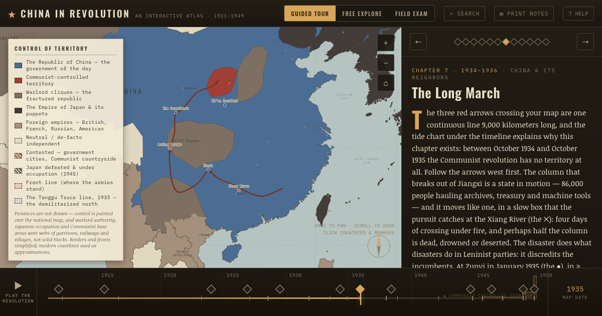
“Space for time” meant surrendering territory in order to preserve enough forces and government to keep the war going. It began with an incident far too small for the war it started. During a night exercise a Japanese soldier went missing at roll call, and shots were exchanged in the dark at a stone bridge southwest of Peking (the ✕ at Marco Polo Bridge, 7 July 1937). Local commanders nearly settled it, as they had settled a dozen such incidents since 1931, but this time Tokyo reinforced. Chiang also refused to back down, because his currency was reformed, his German-trained divisions were ready enough, and his legitimacy had been mortgaged at Xi’an to resistance. Two charcoal arrows drove south from the Peking–Tianjin plain along the railways into Hebei and Shanxi, Japan’s war of lines, fast and mechanized and unstoppable in the open north. The other two arrows belong to the war Chiang chose. In August he attacked the Japanese garrison in Shanghai (the ✕ there), deliberately pulling the main war onto the Yangtze axis. There rivers, cities and mud favored the defender, and the world, watching from the International Settlement’s rooftops, could not ignore it. Three months of house-by-house fighting consumed his best divisions, with casualties approaching a quarter-million, including the irreplaceable junior officers Whampoa had spent a decade making.
From Second Sino-Japanese War (1937–38), chapter 8 of China in Revolution, 1911–1949 (1938).
The place: Yellow River flood — map and full story →
Teach this in 5 minutes
- Why it happened — Tokyo’s escalation machine. Japan in 1937 had no plan to conquer China — it had a government too weak to refuse its field armies’ faits accomplis, a doctrine (“one decisive…
- The turn — Marco Polo Bridge, 7 July 1937. The incident was trivial and the hinge is real: this is where both governments stopped being able to climb down — Tokyo because its army would not…
- What it changed — The government of the interior. The retreat to Chungking is a state amputating its own richest limb to survive: customs revenue, industry and the tax base of the Yangtze delta are…
Then ask the room: Was Chiang right to fight in 1937 — six years after Manchuria, arguably years before he was ready? The argued answer is on the chapter page →
The atlas that shows it
THE FREE PRINTABLE STUDY GUIDE
Join the Dispatch — a short welcome series, then a letter when a new atlas opens — and the printable study guide for China in Revolution is yours now, free.
NO TRACKING · YOUR ADDRESS IS USED FOR THE DISPATCH AND NOTHING ELSE · UNSUBSCRIBE ANYTIME