Chinese Revolution · TURNING POINT ·
Burma Road (1938–45)
On the Chinese Revolution map as “The Burma Road”
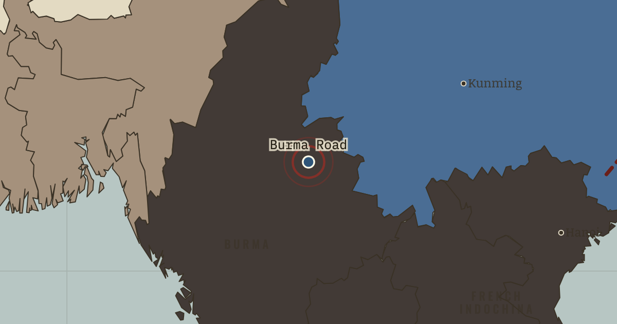
1938–45 — From this railhead, 1,100 km of hairpin mountain road — dug largely by hand — carry Free China’s imports to Kunming. Cut by Japan in 1942, replaced by the Hump airlift over the Himalaya (600,000 tons, at the cost of some 600 Allied aircraft), reopened as the Ledo Road in 1945. Geography is why China cannot be starved out.
- When
- Type
- Turning point
- Chapter
- Sino-Japanese War stalemate (chapter 9 of Chinese Revolution)
- Atlas
- China in Revolution, 1911–1949
Chapter 9 is part of membership. WW2 is free — every chapter. Try chapters 1–2 of any 2 other atlases (3 with a free account). Opening a new atlas uses one of them. Membership opens all 21 — Join.
Free printable Chinese Revolution study guide, sent by email ↓
In the same chapter
Related
THE FREE PRINTABLE STUDY GUIDE
Join the Dispatch — a short welcome series, then a letter when a new atlas opens — and the printable study guide for China in Revolution is yours now, free.
NO TRACKING · YOUR ADDRESS IS USED FOR THE DISPATCH AND NOTHING ELSE · UNSUBSCRIBE ANYTIME