ONE LAND · 14 ATLASES
History of Serbia in maps
Serbia as it appears in 14 interactive history atlases, from 264 BC to 2015: Moesia, Serbia, Yugoslavia. Each era below lists who ruled the land and when control changed, linked to the dated map that shows it.
WW2 is free — every chapter. No sign-up.
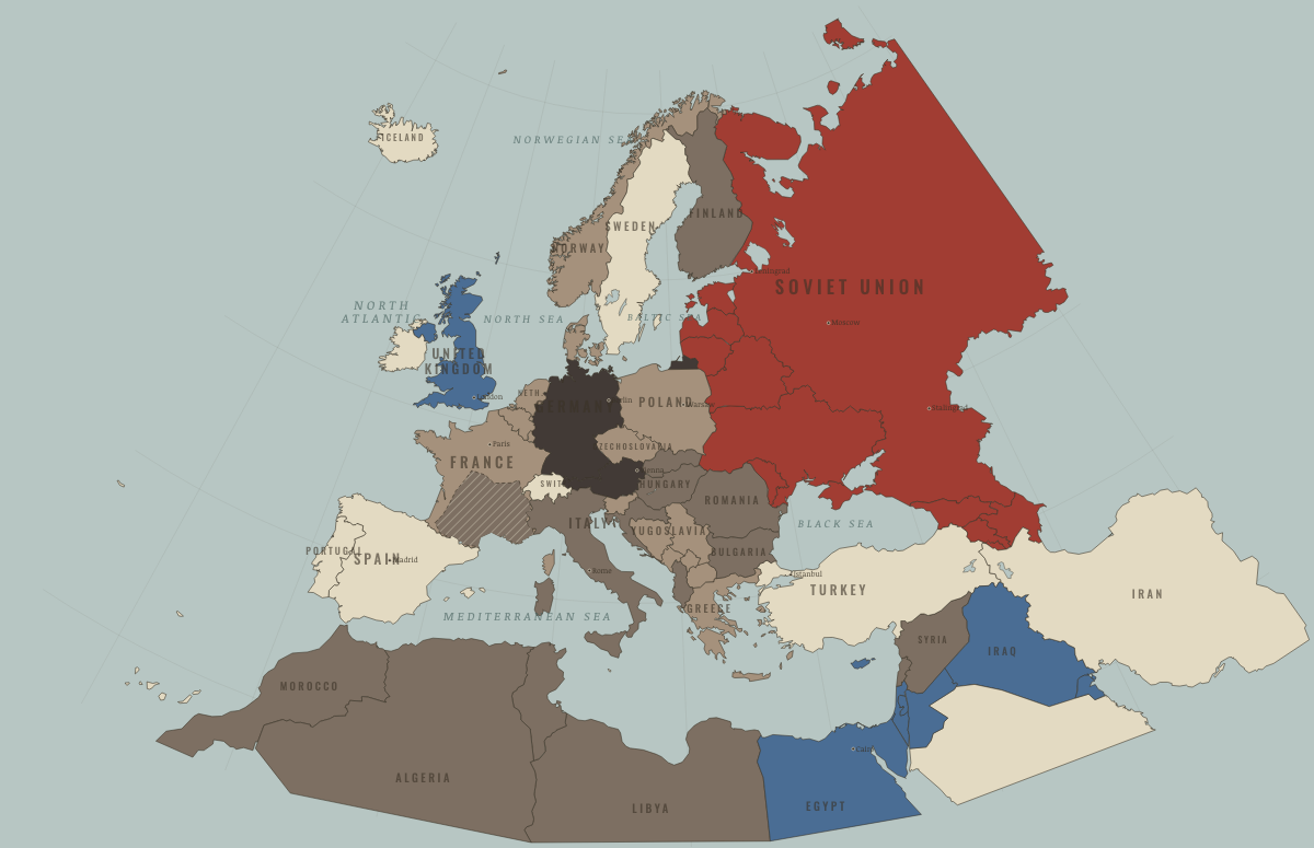
What was Serbia before it was Serbia? Below, every era of this land in the Maps of History atlases — who ruled it, what it was called, and when control changed — each line linked to the dated map that shows it. Modern borders stand in as an honest approximation; every atlas says so on the map itself.
Moesia (mod. Serbia) · Ancient Rome
Moesia and the Danube corridor: the empire’s military spine, where the legions watched the river for four centuries and made a remarkable number of emperors — the third-century soldier-emperors who saved Rome (Aurelian, Diocletian, Constantine’s family) were Illyrians and Danubians almost to a man. When the Goths and Huns came, this is where they crossed.
| 264 BC | Tribal peoples & confederations — the opening position |
| Roman territory |
ANCIENT ROME: EVERY CHAPTER AND MAP →
Serbia · Norse and Aztecs
| Other peoples and states — the opening position |
NORSE AND AZTECS: EVERY CHAPTER AND MAP →
Serbia · Crusades
| Byzantium (and Latin Constantinople 1204–61) — the opening position |
CRUSADES: EVERY CHAPTER AND MAP →
Serbia · Mongol Empire
| Other settled powers (Jin China, Christendom, Delhi) — the opening position |
MONGOL EMPIRE: EVERY CHAPTER AND MAP →
Serbia · Industrial Revolution
INDUSTRIAL REVOLUTION: EVERY CHAPTER AND MAP →
Serbia · Age of Revolutions
| Neutral / uncommitted — the opening position |
AGE OF REVOLUTIONS: EVERY CHAPTER AND MAP →
Yugoslavia (Serbia) · Meiji Japan and post-Soviet Russia
| Non-aligned or stateless — the opening position |
MEIJI JAPAN AND POST-SOVIET RUSSIA: EVERY CHAPTER AND MAP →
Serbia · WWI
Serbia is where the war began and where its proportions were worst: it threw back three Austrian invasions in 1914, was crushed by three empires in 1915, and its army retreated through Albania’s mountains rather than surrender (Ch. 6) — returning via Salonika to liberate Belgrade in 1918. Perhaps one in six Serbs died — the war’s highest national share. Its reward, Yugoslavia, contained the next wars inside it.
Yugoslavia (Serbia) · Stalin’s Soviet Union
Yugoslavia liberated itself, which explains its defiance. Tito’s partisans fought the German occupiers and their local allies from 1941 and took power in 1945 with little help from the Red Army. Tito was at first more radical than Stalin wished, but he would not take orders, and in June 1948 Yugoslavia was expelled from the Cominform. It survived Soviet pressure, accepted Western aid and built its own non-aligned communism, the first crack in the Soviet bloc.
| Nazi Germany & its allies — the opening position | |
| Nazi Germany & its allies | |
| Satellites & communist allies | |
| Other states |
STALIN’S SOVIET UNION: EVERY CHAPTER AND MAP →
Serbia · Road to WW2
| Neutral & unaligned — the opening position | |
| Occupied — held by force |
ROAD TO WW2: EVERY CHAPTER AND MAP →
Serbia · WW2
Center of dismembered Yugoslavia — invaded 1941 after a defiant coup, then torn by parallel wars: occupation, Tito’s partisans, royalist Chetniks, and the genocidal Croatian Ustaše state. Tito’s victory made communist Yugoslavia — the one East European regime the Red Army didn’t install.
| Axis-occupied — the opening position | |
| Axis-occupied | |
| Soviet Union |
Serbia · Cold War
Center of Tito’s Yugoslavia — the first communist state to defy Stalin and survive (1948), charcoal on this map ever after: non-aligned, Western-financed, self-managed, armed against both blocs. The federation held exactly as long as the Cold War that defined it, then tore itself apart in the wars the 1991 map already shows beginning.
| Soviet-aligned states — the opening position | |
| Communist, outside Moscow’s bloc | |
| In upheaval / changing sides | |
| Communist, outside Moscow’s bloc | |
| In upheaval / changing sides |
COLD WAR: EVERY CHAPTER AND MAP →
Yugoslavia (Serbia) · Feminism and the Tunisian Revolution
| Refused: women excluded; ERA never ratified — the opening position | |
| Right won in law | |
| Partial or unequal; treaty signed only; transition | |
| No reform yet / outside this story | |
| Right won in law |
FEMINISM AND THE TUNISIAN REVOLUTION: EVERY CHAPTER AND MAP →
Yugoslavia (Serbia) · Refugee crises
| Soviet-occupied or communist — the opening position |
REFUGEE CRISES: EVERY CHAPTER AND MAP →
Related
THE FREE PRINTABLE STUDY GUIDE
Join the Dispatch — a short welcome series, then a letter when a new atlas opens — and a printable atlas study guide of your choice is yours now, free.
NO TRACKING · YOUR ADDRESS IS USED FOR THE DISPATCH AND NOTHING ELSE · UNSUBSCRIBE ANYTIME