The War Room — WW2, 1936–1945 · THE MAP IN
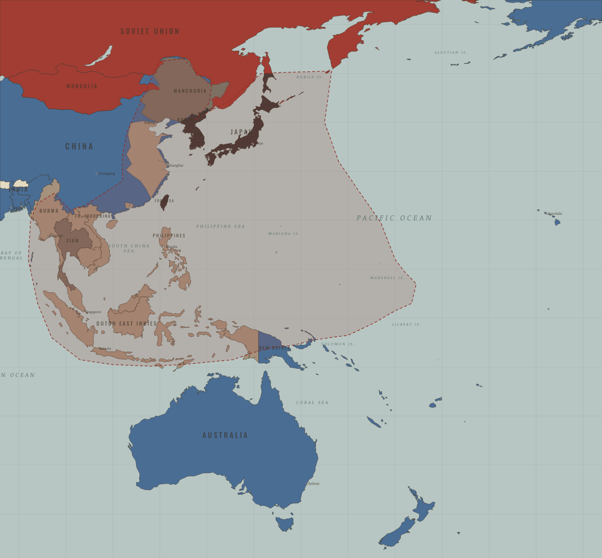
Map of Asia and the Pacific in February 1943
The tide checks · WW2
Asia and the Pacific in February 1943: The tide checks. The map shows who held what: Western Allies, Axis-occupied, Axis powers.
Open this map in the interactive atlas →
WW2 is free — every chapter. No sign-up.
The chapters of this moment
Related maps
THE FREE PRINTABLE STUDY GUIDE
Join the Dispatch — a short welcome series, then a letter when a new atlas opens — and the printable study guide for WW2 is yours now, free.
NO TRACKING · YOUR ADDRESS IS USED FOR THE DISPATCH AND NOTHING ELSE · UNSUBSCRIBE ANYTIME