ON THIS DAY ·
Battle of Spotsylvania Court House
8–21 May 1864 — Two weeks of entrenched slaughter; at the Bloody Angle, men fight hand-to-hand for twenty hours in the rain. Grant to Washington: “I propose to fight it out on this line if it takes all summer.”
WW2 is free — every chapter. Try chapters 1–2 of any 2 other atlases (3 with a free account). Opening a new atlas uses one of them. Membership opens all 21 — Join.
Free printable American Civil War study guide, sent by email ↓
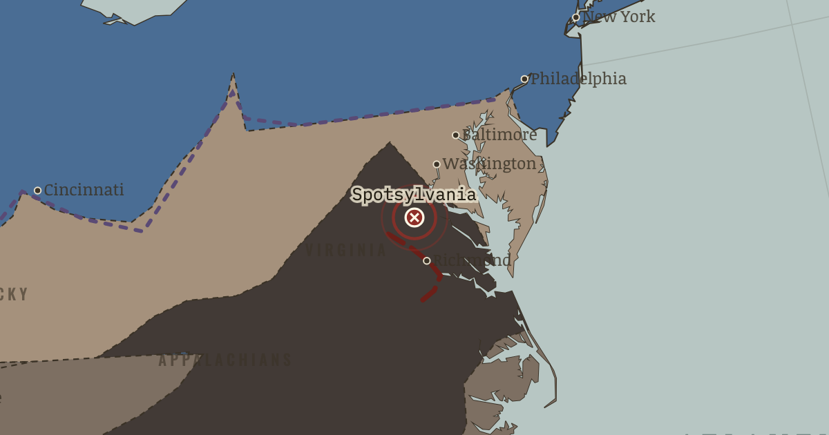
The moment in context
Grant’s plan coordinated several advances in the same weeks, and although the secondary drives often failed, they still limited Confederate movement. In Virginia the veterans on both sides built earthworks within hours of halting, and rifled weapons made frontal assault especially deadly. Lee inflicted heavy losses in the tangled fighting, but Grant broke with every predecessor by refusing to retreat north after each battle, shifting his army south instead until it crossed the James River and threatened Petersburg, the rail junction that supplied Richmond.
From Overland and Atlanta campaigns, chapter 9 of The American Civil War, 1840–1877 (JUL 1864).
The place: Battle of Spotsylvania Court House — map and full story →
Teach this in 5 minutes
- Why it happened — Grant’s theory of simultaneity. Since 1861 the Confederacy had survived by railroad. Losing one theater’s battle and lending its divisions to another’s (Chickamauga itself was won…
- The turn — The Brock Road crossroads, 7 May 1864. After two days of horror in the burning scrub. A battle Lee arguably won on points. The Army of the Potomac expected the familiar ritual: retreat,…
- What it changed — Petersburg: the siege that is not called one. Pinned to Richmond’s rail junction, Lee’s army digs thirty miles of works it cannot afford to man. Grant extends left, railroad by railroad, for…
Then ask the room: Was Grant a “butcher” — and what would answering that question rigorously require? The argued answer is on the chapter page →
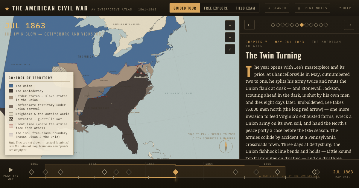
The atlas that shows it
THE FREE PRINTABLE STUDY GUIDE
Join the Dispatch — a short welcome series, then a letter when a new atlas opens — and the printable study guide for The American Civil War is yours now, free.
NO TRACKING · YOUR ADDRESS IS USED FOR THE DISPATCH AND NOTHING ELSE · UNSUBSCRIBE ANYTIME