ON THIS DAY ·
Korean War begins: North Korea invades South
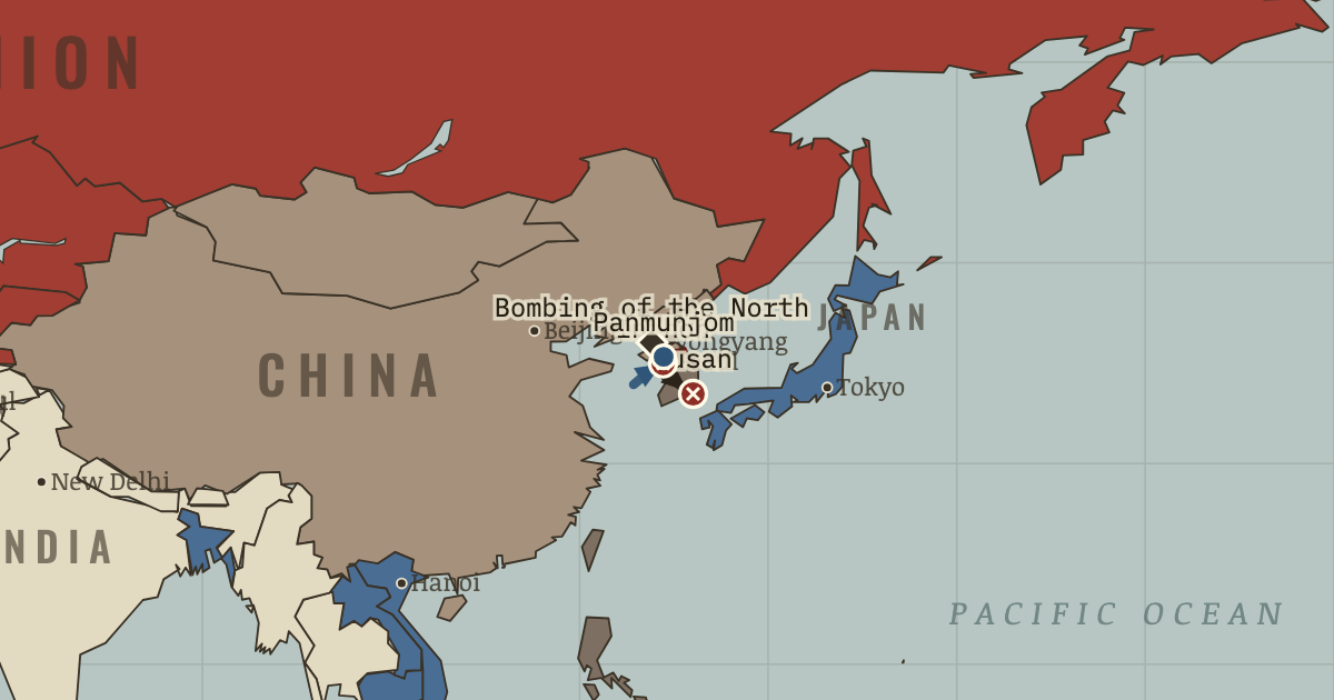
North Korean armor crosses the 38th parallel — a line two American colonels drew in half an hour in August 1945.
WW2 is free — every chapter. Try chapters 1–2 of any 2 other atlases (3 with a free account). Opening a new atlas uses one of them. Membership opens all 21 — Join.
The moment in context
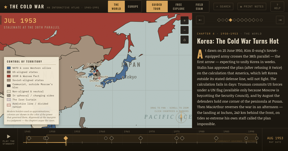
The war moved in sharp reversals, each of which carried a lesson. North Korean forces drove the defenders into a small perimeter around the southern port of Pusan before an amphibious landing at Inchon cut their supply lines and opened the road north. The UN command then made the fateful choice to cross the 38th parallel and pursue outright reunification, and that decision mattered because Beijing saw hostile forces approaching the Yalu River on China’s border and chose to enter the war rather than accept an American-aligned state there.
From Korean War, chapter 4 of The Cold War, 1945–1991 (AUG 1953).
Teach this in 5 minutes
- Why it happened — Three men’s miscalculations, compounding. Kim promised a three-week war of liberation and believed the South would rise to greet him. Stalin, weighing the new Soviet bomb and China’s…
- The turn — Inchon, 15 September 1950 — brilliance, then hubris. The landing is the century’s last great amphibious masterstroke: the North Korean army disintegrates in two weeks. But its very brilliance is what…
- What it changed — The Cold War militarizes — globally and permanently. NSC-68’s tripled budgets sail through Congress. US defense spending jumps from ~5% to ~14% of GDP by 1953 and never returns to prewar levels. NATO…
Then ask the room: Would stopping at the 38th parallel in October 1950 have been the better war? The argued answer is on the chapter page →
The atlas that shows it
THE FREE PRINTABLE STUDY GUIDE
Join the Dispatch — a short welcome series, then a letter when a new atlas opens — and the printable study guide for The Cold War is yours now, free.
NO TRACKING · YOUR ADDRESS IS USED FOR THE DISPATCH AND NOTHING ELSE · UNSUBSCRIBE ANYTIME