ON THIS DAY ·
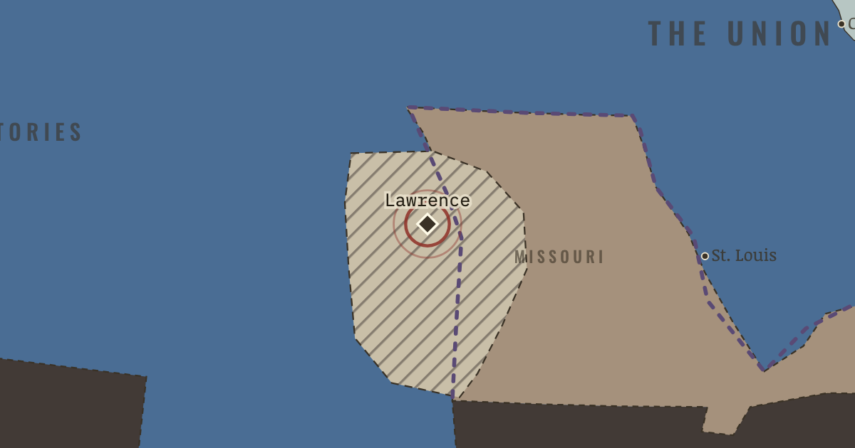
Lawrence, Kansas
1856 & 21 Aug 1863 — Sacked by pro-slavery raiders in 1856; in 1863 Quantrill’s guerrillas murder some 180 men and boys here. The border war was a civil war before the Civil War. Remember it plainly.
WW2 is free — every chapter. Try chapters 1–2 of any 2 other atlases (3 with a free account). Opening a new atlas uses one of them. Membership opens all 21 — Join.
Free printable American Civil War study guide, sent by email ↓
The moment in context
The politics of the 1850s become intelligible once we follow the money beneath them. Enslaved labor made the cotton South one of the wealthiest agricultural regions on earth, and because enslaved people were bought and sold as property, that wealth was also a form of capital that planters, lenders, and states all counted on. This tied plantation profit, credit, and the market value of human beings to a single question, which was whether slavery would keep expanding. Slaveholders reasoned that an institution confined to its existing borders would lose political weight and market value over time, so they treated any limit on expansion as the beginning of a long decline. That is the reason a territory like Kansas, where cotton was not yet grown, could feel like a matter of survival.
From Causes of the American Civil War, chapter 2 of The American Civil War, 1840–1877 (JAN 1861).
The place: Lawrence, Kansas — map and full story →
Teach this in 5 minutes
- Why it happened — Slavery as capital, not merely labor. Emancipation somewhere threatened property values everywhere: an enslaved person in Virginia was worth more because Mississippi and the territories…
- The turn — 6 November 1860 — the election. Nothing in Lincoln’s platform freed a single enslaved person. It barred slavery only from the territories. But the South read the result correctly:…
- What it changed — Secession begins in the Deep South. South Carolina, then the six cotton states, leave between December and February. Before Lincoln even takes office. Watch which states move first:…
Then ask the room: Was the Civil War “about” slavery, states’ rights, or economics — and is that even a well-formed question? The argued answer is on the chapter page →
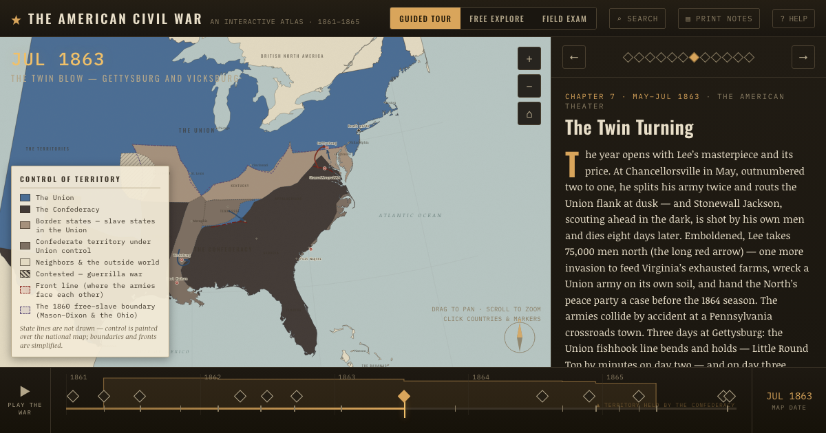
The atlas that shows it
THE FREE PRINTABLE STUDY GUIDE
Join the Dispatch — a short welcome series, then a letter when a new atlas opens — and the printable study guide for The American Civil War is yours now, free.
NO TRACKING · YOUR ADDRESS IS USED FOR THE DISPATCH AND NOTHING ELSE · UNSUBSCRIBE ANYTIME