Climate and Innovation: The Norse and the Aztecs, c. 790–1521
Norse and Aztecs maps by year
35 historical maps of Climate and Innovation: The Norse and the Aztecs, c. 790–1521, one for each turning point: who controlled what, and what changed…
Explore every date in the interactive atlas →
WW2 is free — every chapter. Try chapters 1–2 of any 2 other atlases (3 with a free account). Opening a new atlas uses one of them. Membership opens all 21 — Join.
Free printable Norse and Aztecs study guide, sent by email ↓
The Norse North Atlantic
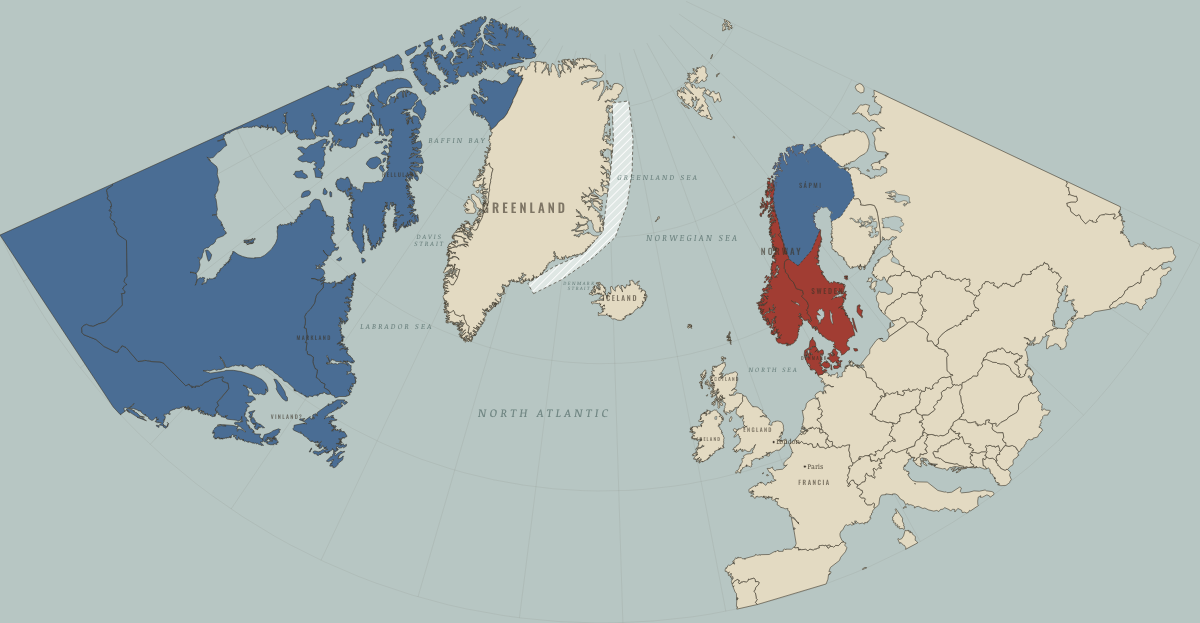
790
SCANDINAVIA ON THE EVE OF THE VIKING AGE
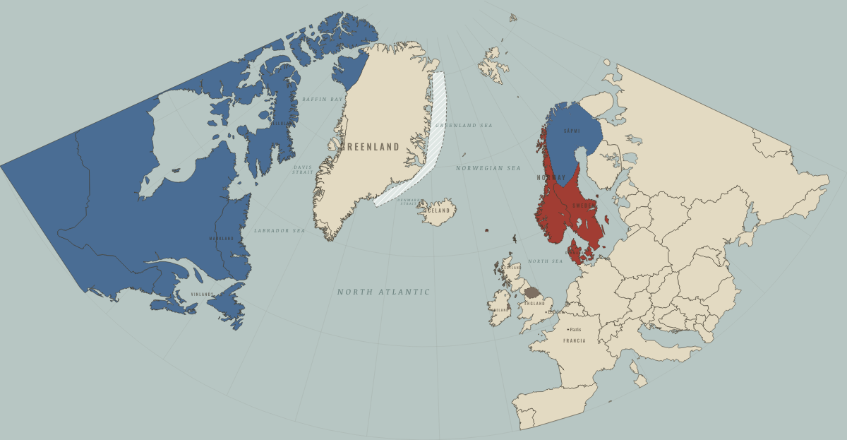
866
RAIDERS BECOME SETTLERS: YORK, DUBLIN AND THE ISLES
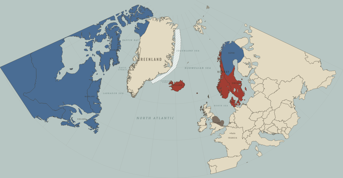
886
THE DANELAW; ICELAND BEING SETTLED
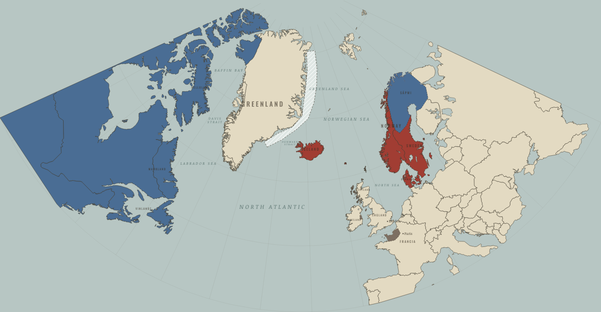
930
THE ALTHING; NORMANDY GRANTED; YORK ENGLISH AGAIN
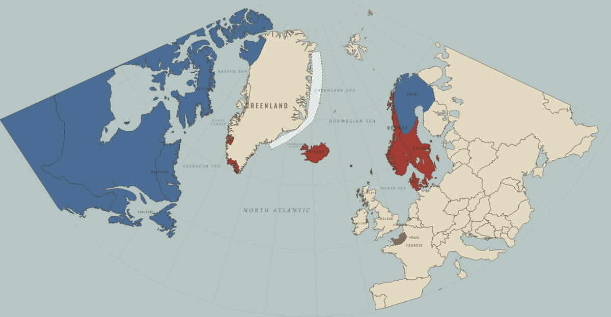
985–86
GREENLAND SETTLED
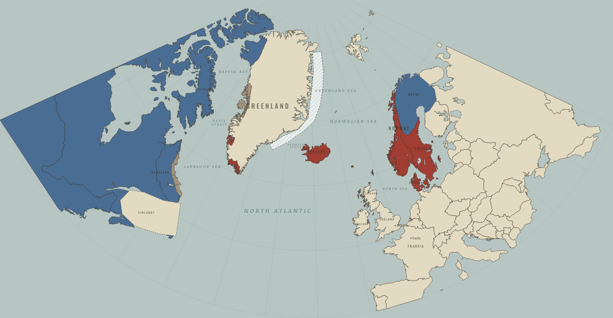
1021
VINLAND: WOOD FELLED AT L’ANSE AUX MEADOWS
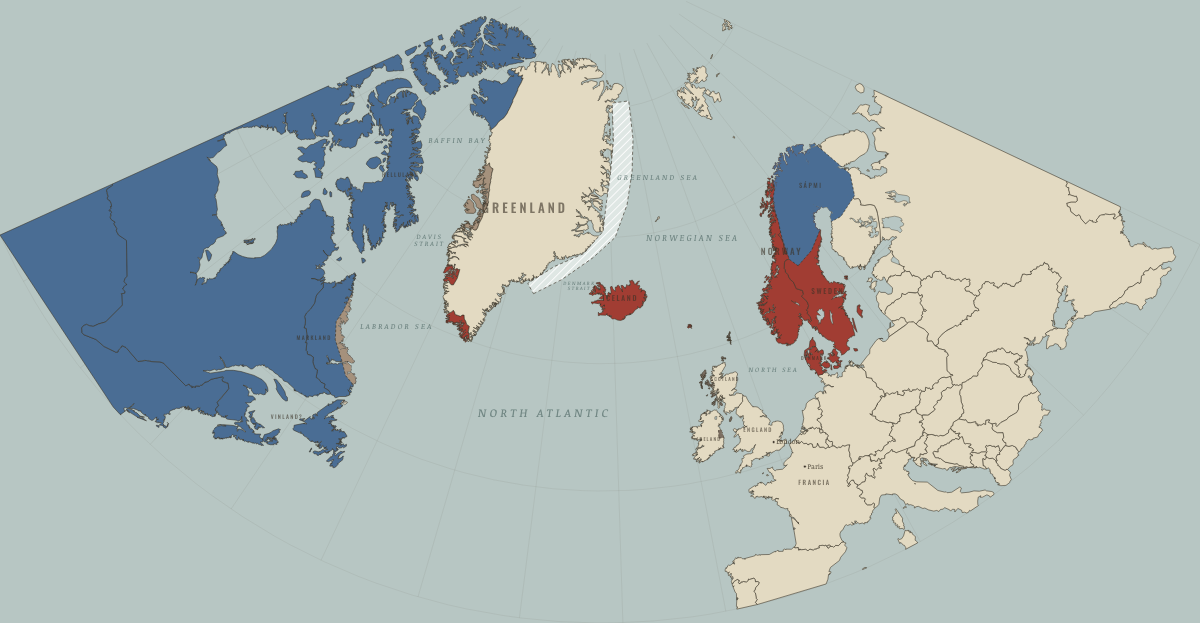
1050
VINLAND ABANDONED
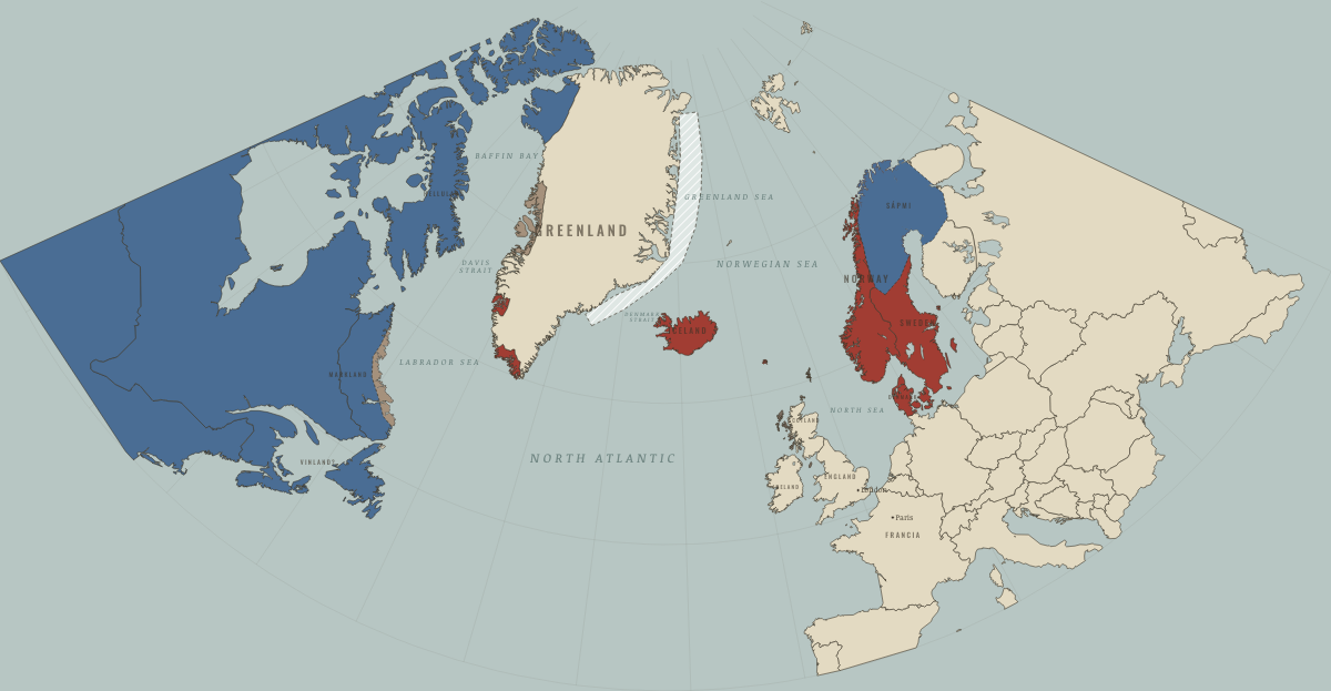
1250
GREENLAND AT ITS HEIGHT; THE THULE INUIT ARRIVE
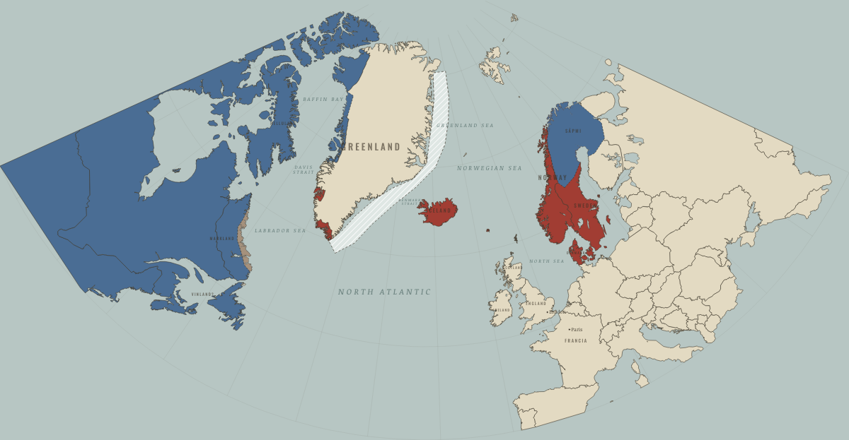
1300
THE COLD ARRIVES; THE INUIT REACH DISKO BAY
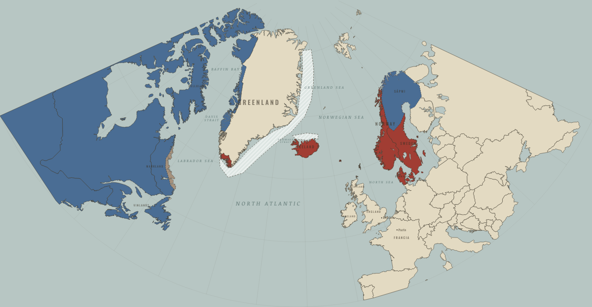
1360
THE WESTERN SETTLEMENT FOUND EMPTY
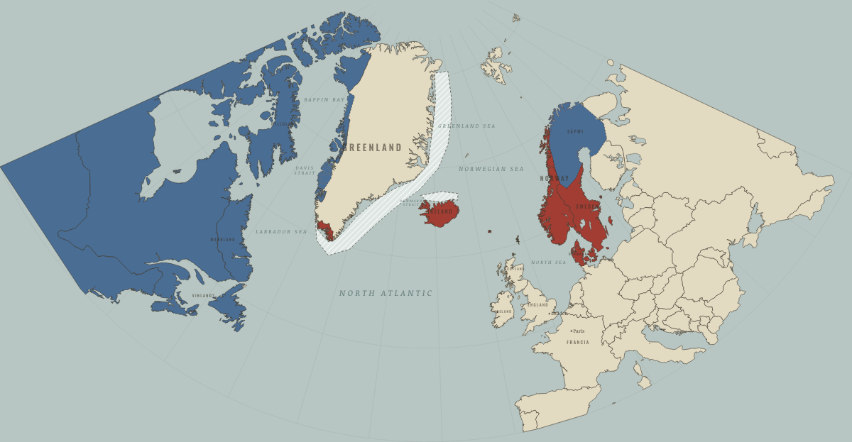
1408
THE LAST WEDDING AT HVALSEY
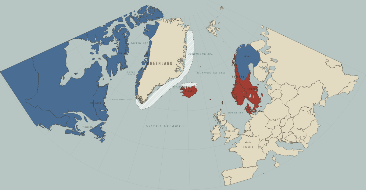
1450
THE EASTERN SETTLEMENT FALLS SILENT
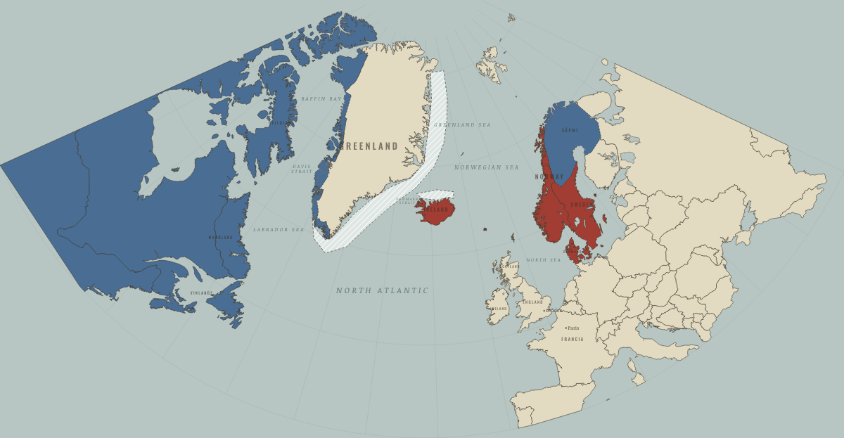
1500
INUIT GREENLAND; ORKNEY AND SHETLAND TO SCOTLAND
The Basin of Mexico
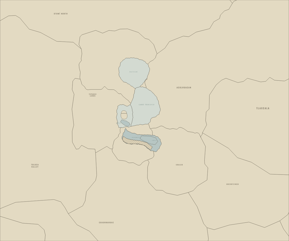
1150
THE BASIN BEFORE THE MEXICA, AFTER TULA’S FALL
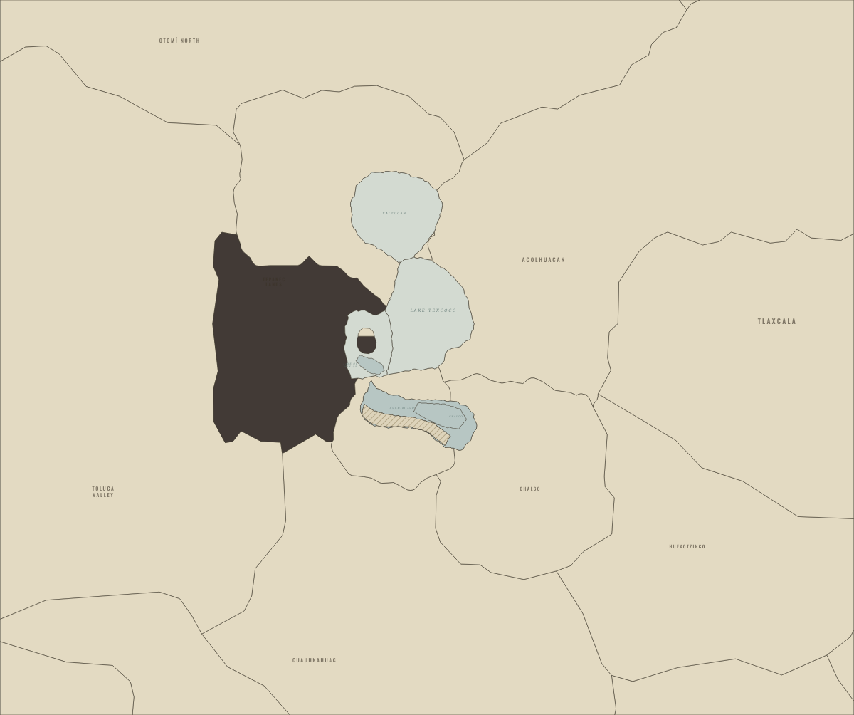
1325
TENOCHTITLAN FOUNDED ON AN ISLAND OF THE LAKE
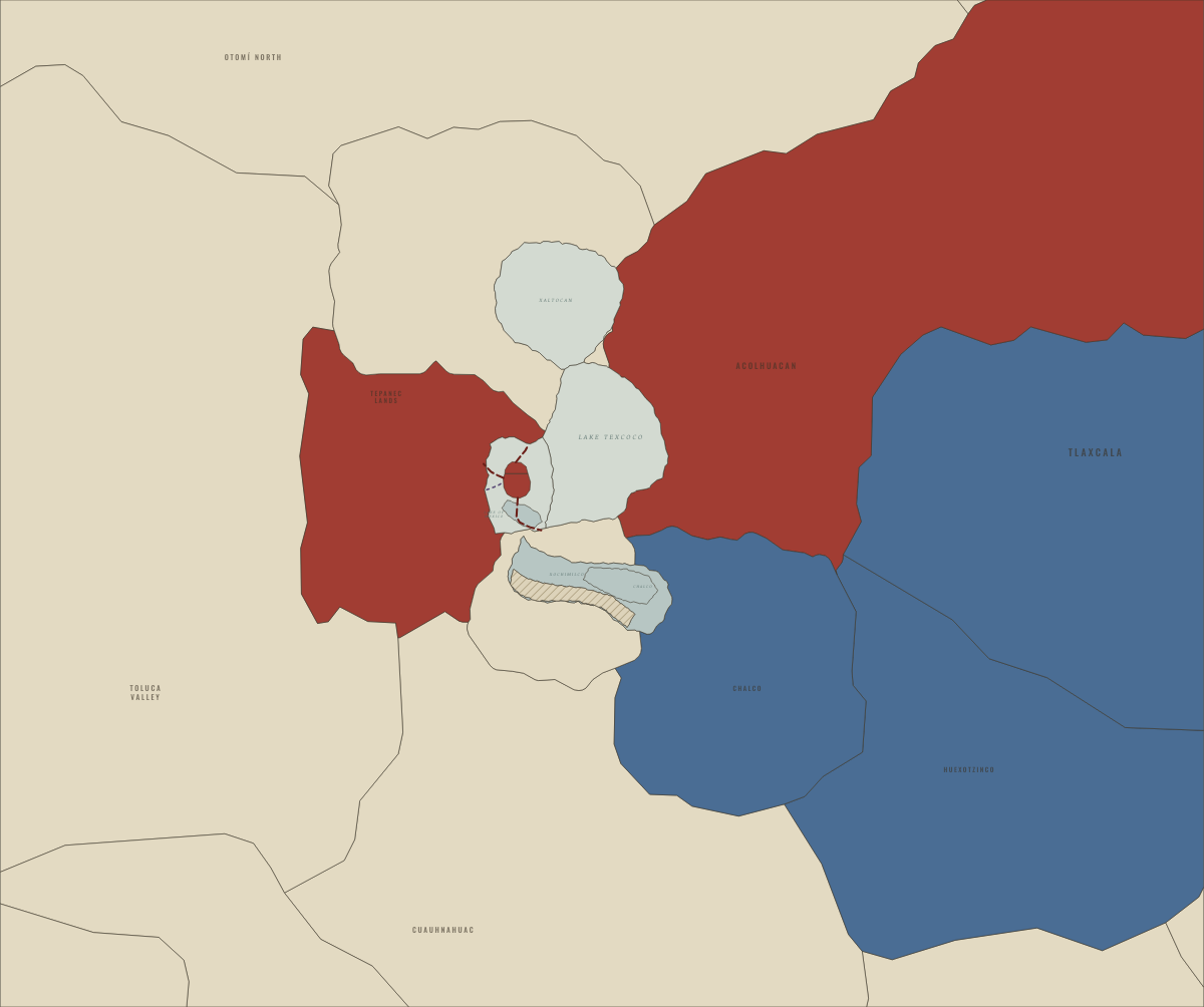
1428
THE TEPANEC WAR AND THE TRIPLE ALLIANCE
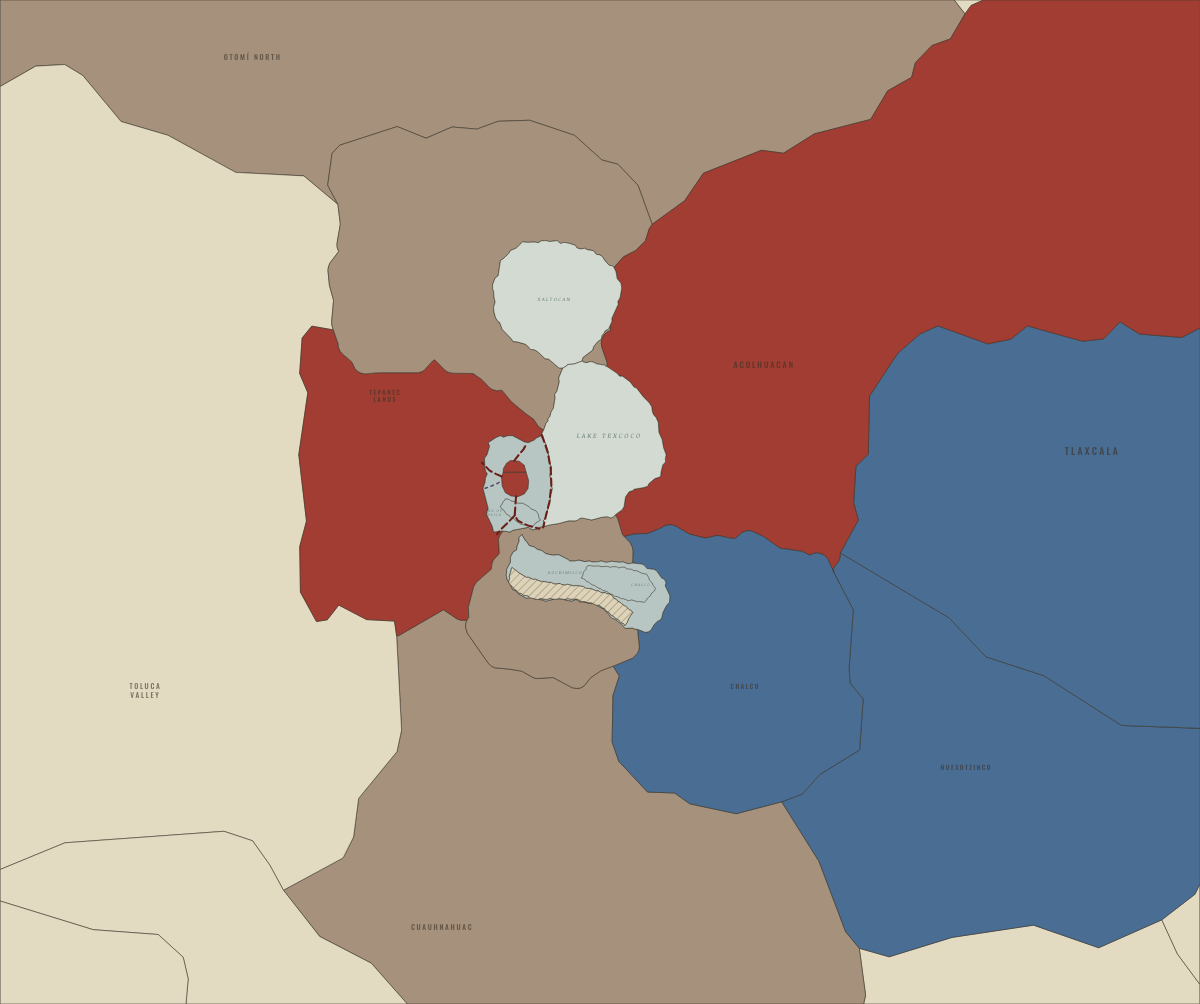
1449
NEZAHUALCOYOTL’S DIKE: THE LAGOON TURNS FRESH
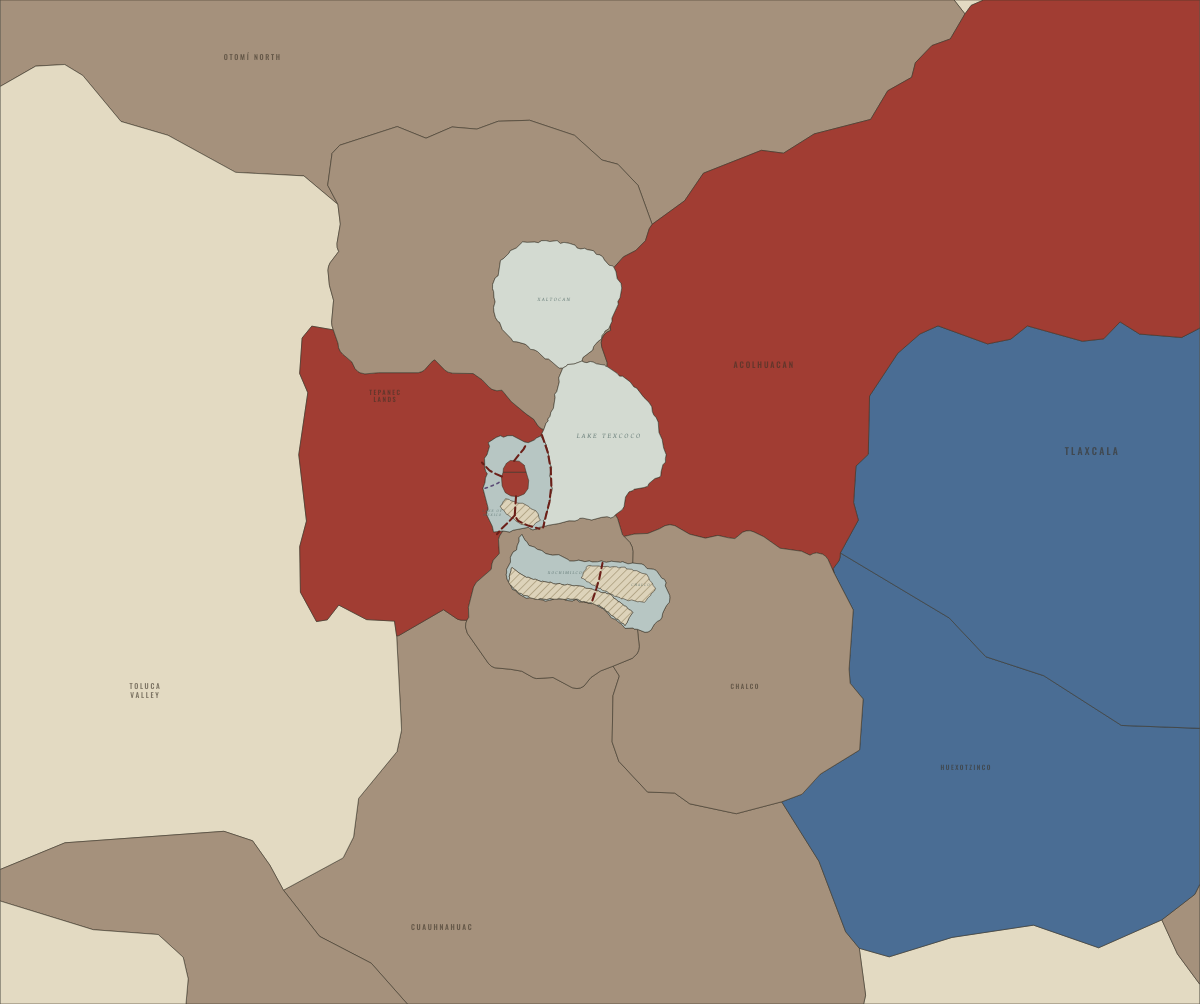
1469
MOCTEZUMA I’S EMPIRE REACHES THE GULF COAST
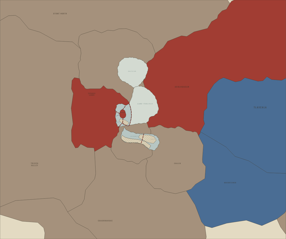
1481
AXAYACATL TAKES TLATELOLCO AND THE TOLUCA VALLEY
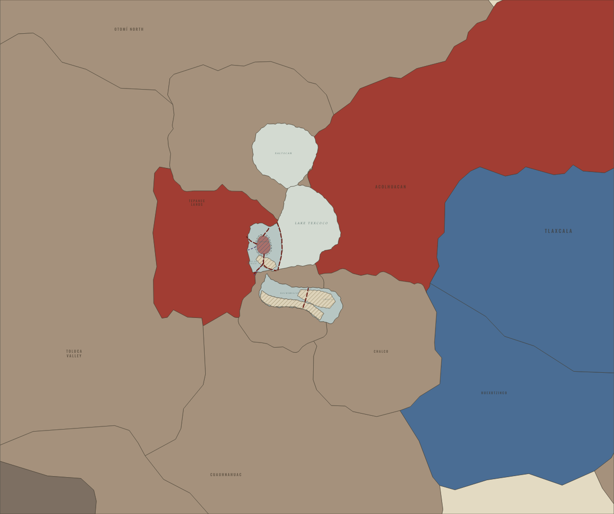
1499
AHUITZOTL’S CONQUESTS — AND THE FLOOD
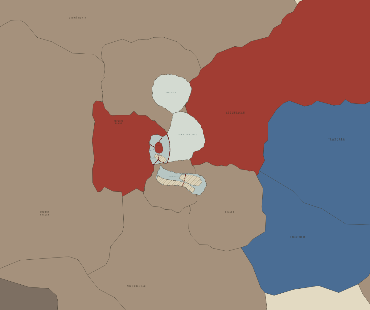
1515
THE EMPIRE AT ITS HEIGHT UNDER MOCTEZUMA II
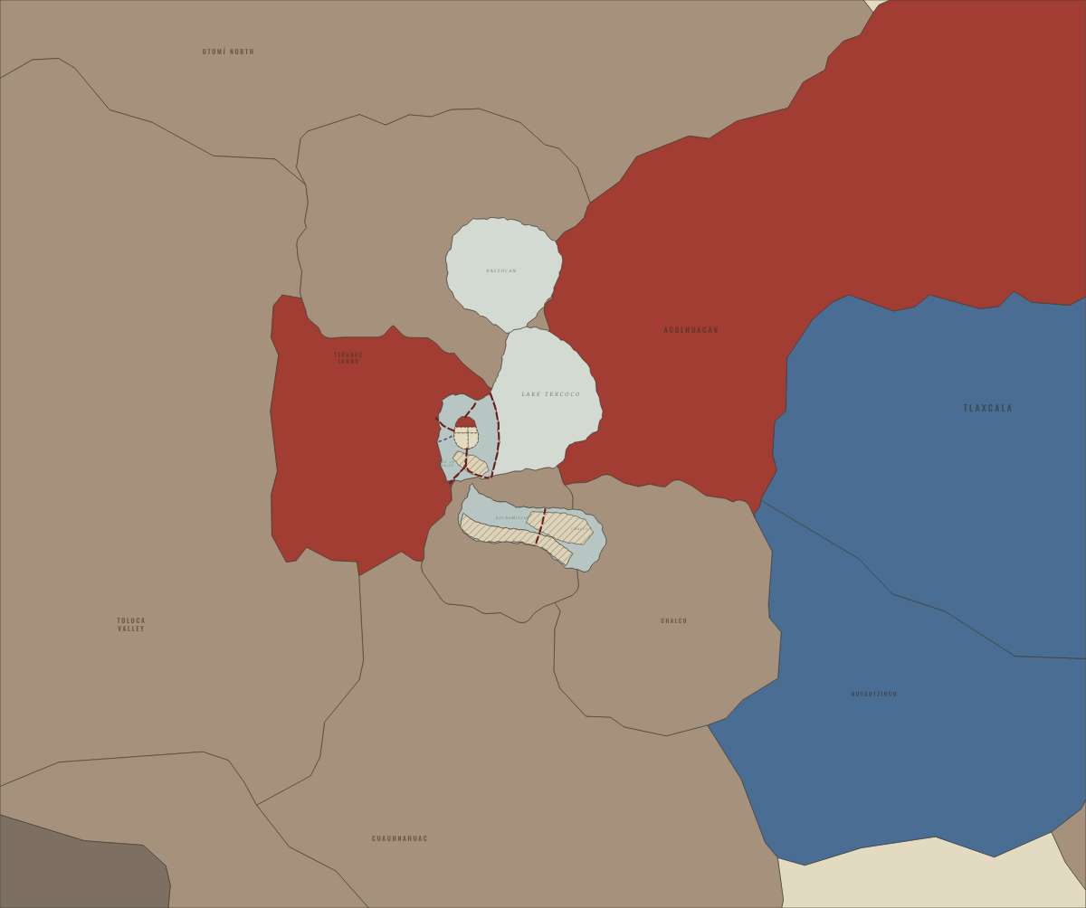
November 1519
THE CITY THE SPANIARDS SAW
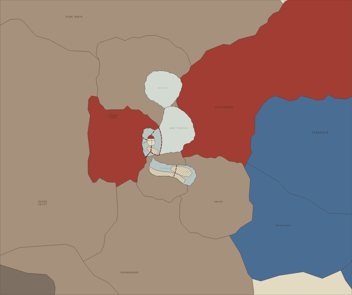
1520
THE NOCHE TRISTE, SMALLPOX AND TEPEACAC LOST
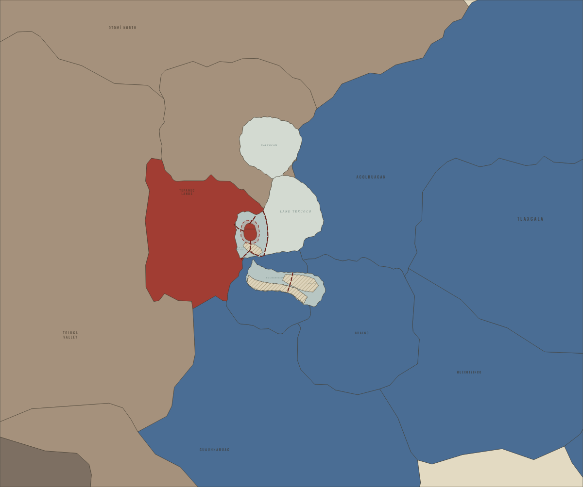
May–August 1521
THE SIEGE OF TENOCHTITLAN
Mesoamerica
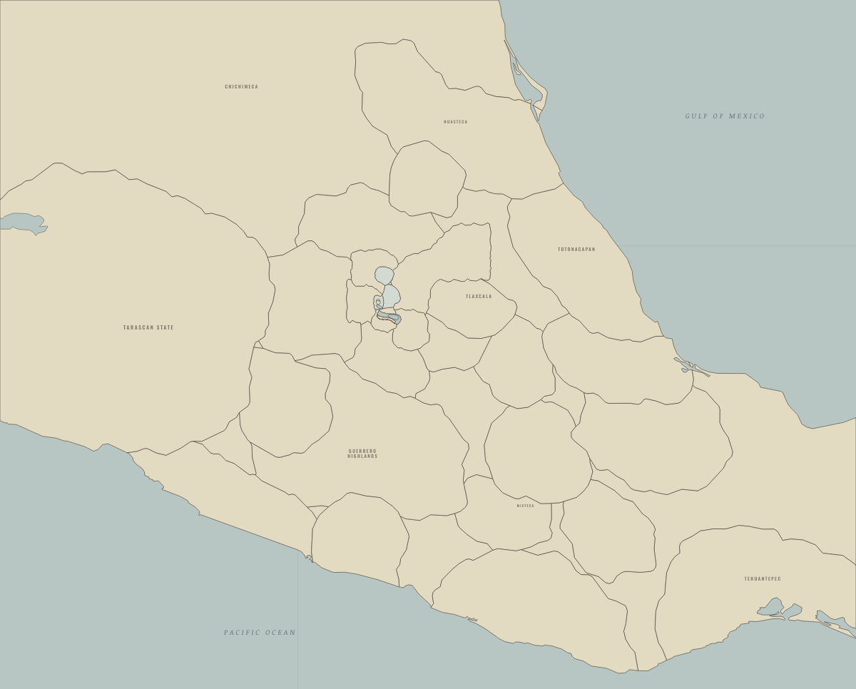
1150
THE BASIN BEFORE THE MEXICA, AFTER TULA’S FALL
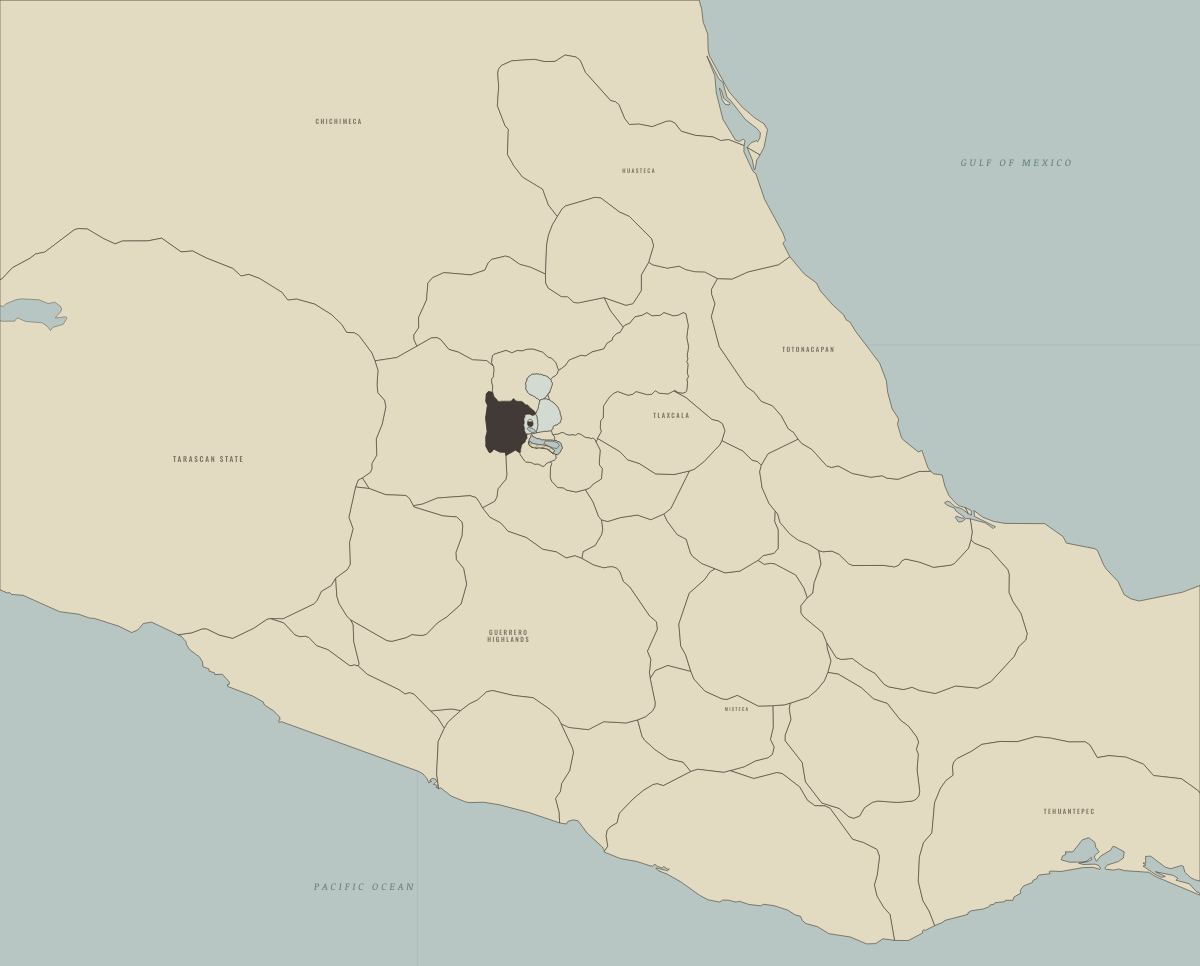
1325
TENOCHTITLAN FOUNDED ON AN ISLAND OF THE LAKE
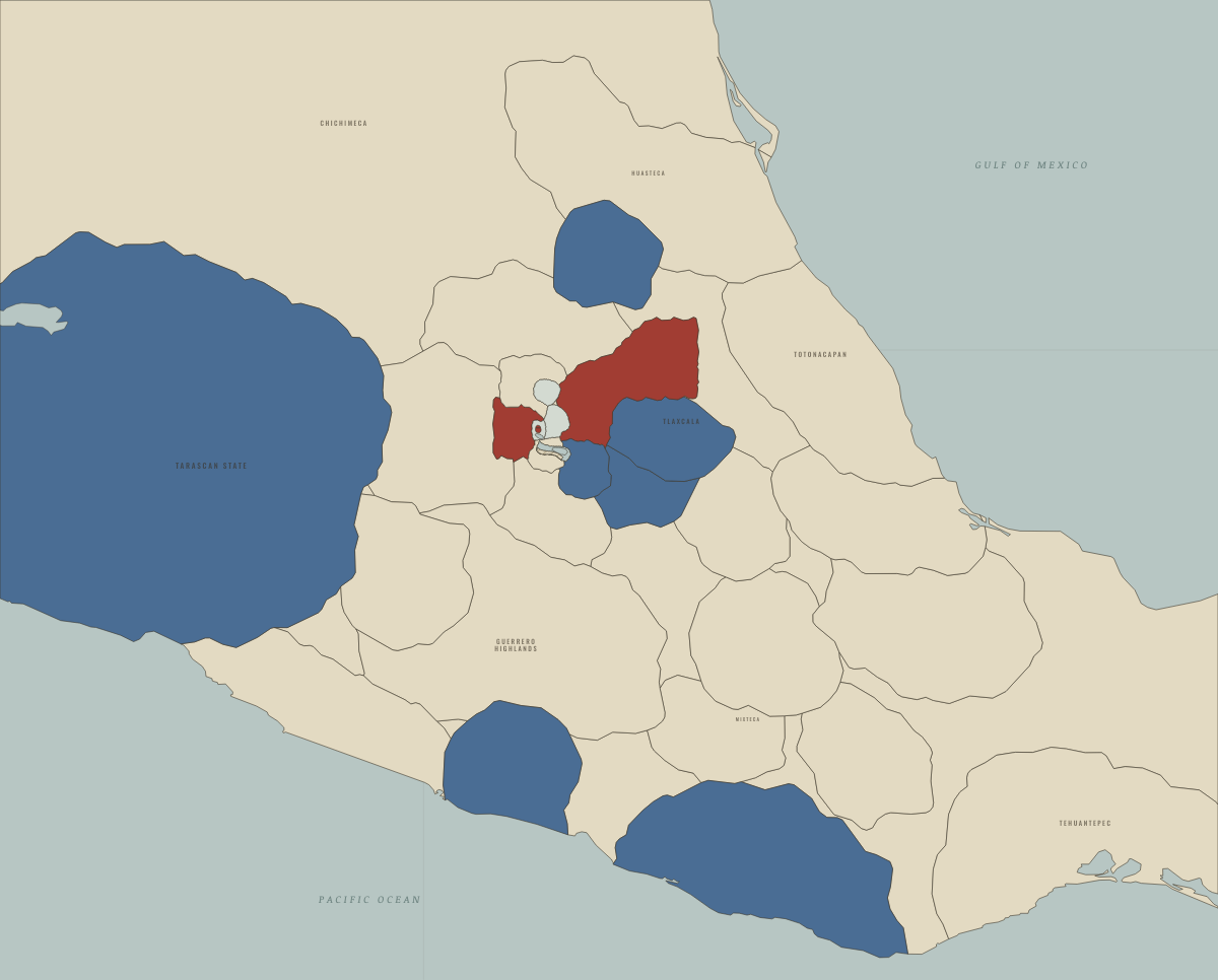
1428
THE TEPANEC WAR AND THE TRIPLE ALLIANCE
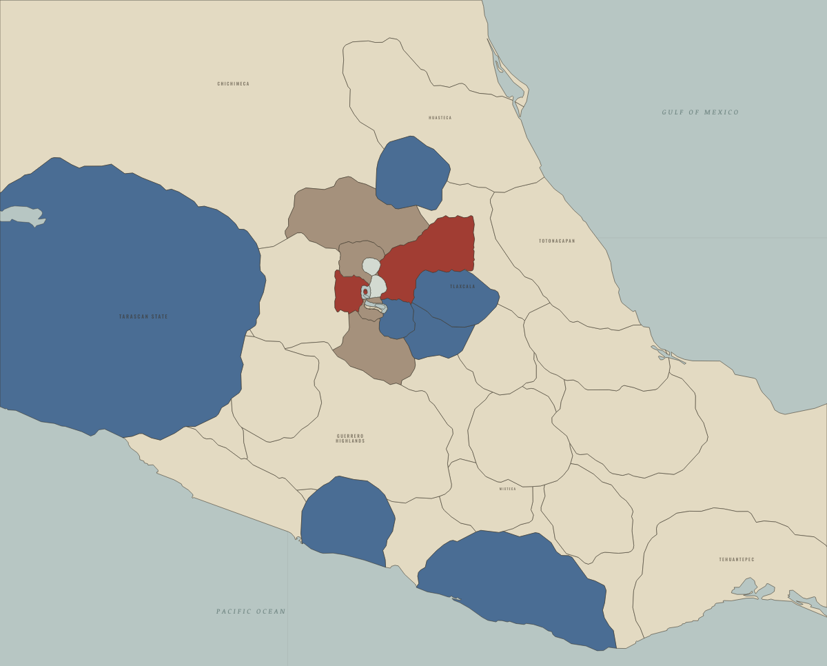
1449
NEZAHUALCOYOTL’S DIKE: THE LAGOON TURNS FRESH
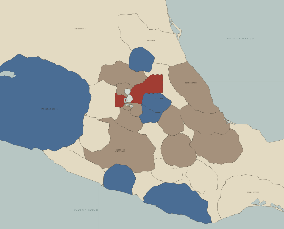
1469
MOCTEZUMA I’S EMPIRE REACHES THE GULF COAST
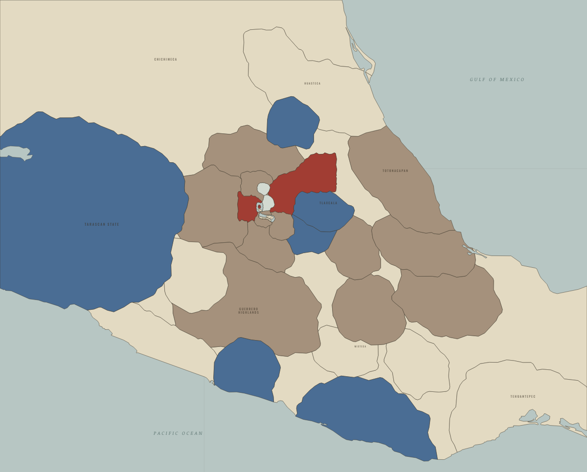
1481
AXAYACATL TAKES TLATELOLCO AND THE TOLUCA VALLEY
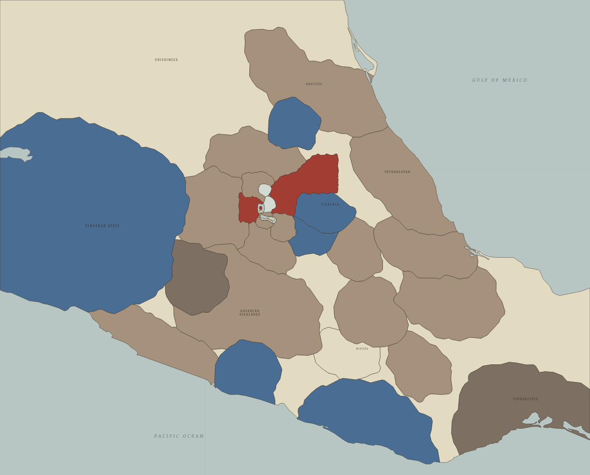
1499
AHUITZOTL’S CONQUESTS — AND THE FLOOD
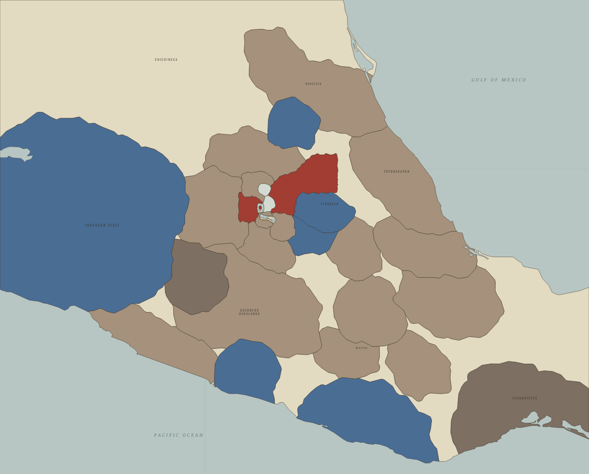
1515
THE EMPIRE AT ITS HEIGHT UNDER MOCTEZUMA II
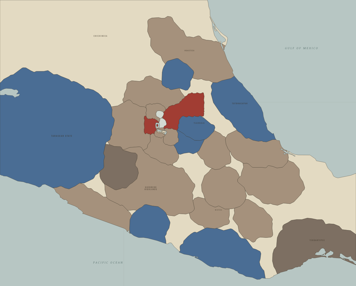
November 1519
THE CITY THE SPANIARDS SAW
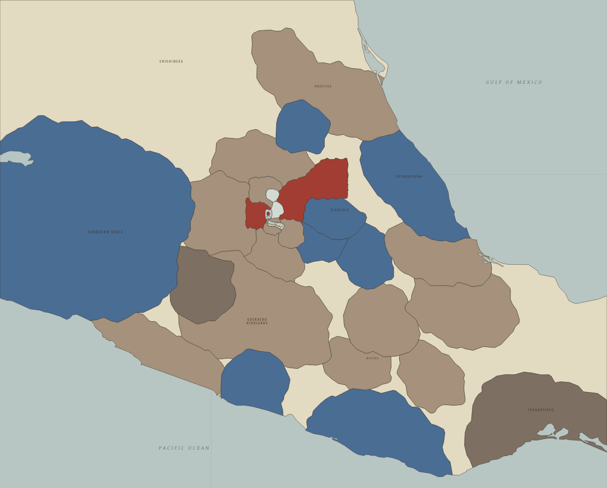
1520
THE NOCHE TRISTE, SMALLPOX AND TEPEACAC LOST
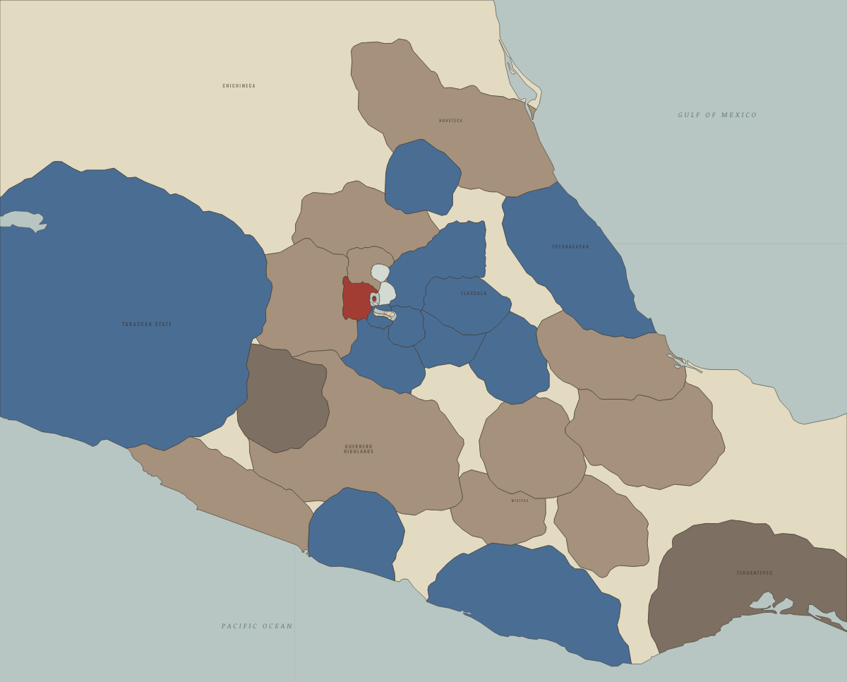
May–August 1521
THE SIEGE OF TENOCHTITLAN
Historical maps from every atlas, by year →
THE FREE PRINTABLE STUDY GUIDE
Join the Dispatch — a short welcome series, then a letter when a new atlas opens — and the printable study guide for Climate and Innovation is yours now, free.
NO TRACKING · YOUR ADDRESS IS USED FOR THE DISPATCH AND NOTHING ELSE · UNSUBSCRIBE ANYTIME