Indian Independence & Partition, 1857–1964
Indian independence maps by year
31 historical maps of Indian Independence & Partition, 1857–1964, one for each turning point: who controlled what, and what changed since the map before.
Explore every date in the interactive atlas →
WW2 is free — every chapter. Try chapters 1–2 of any 2 other atlases (3 with a free account). Opening a new atlas uses one of them. Membership opens all 21 — Join.
Free printable Indian independence study guide, sent by email ↓
India
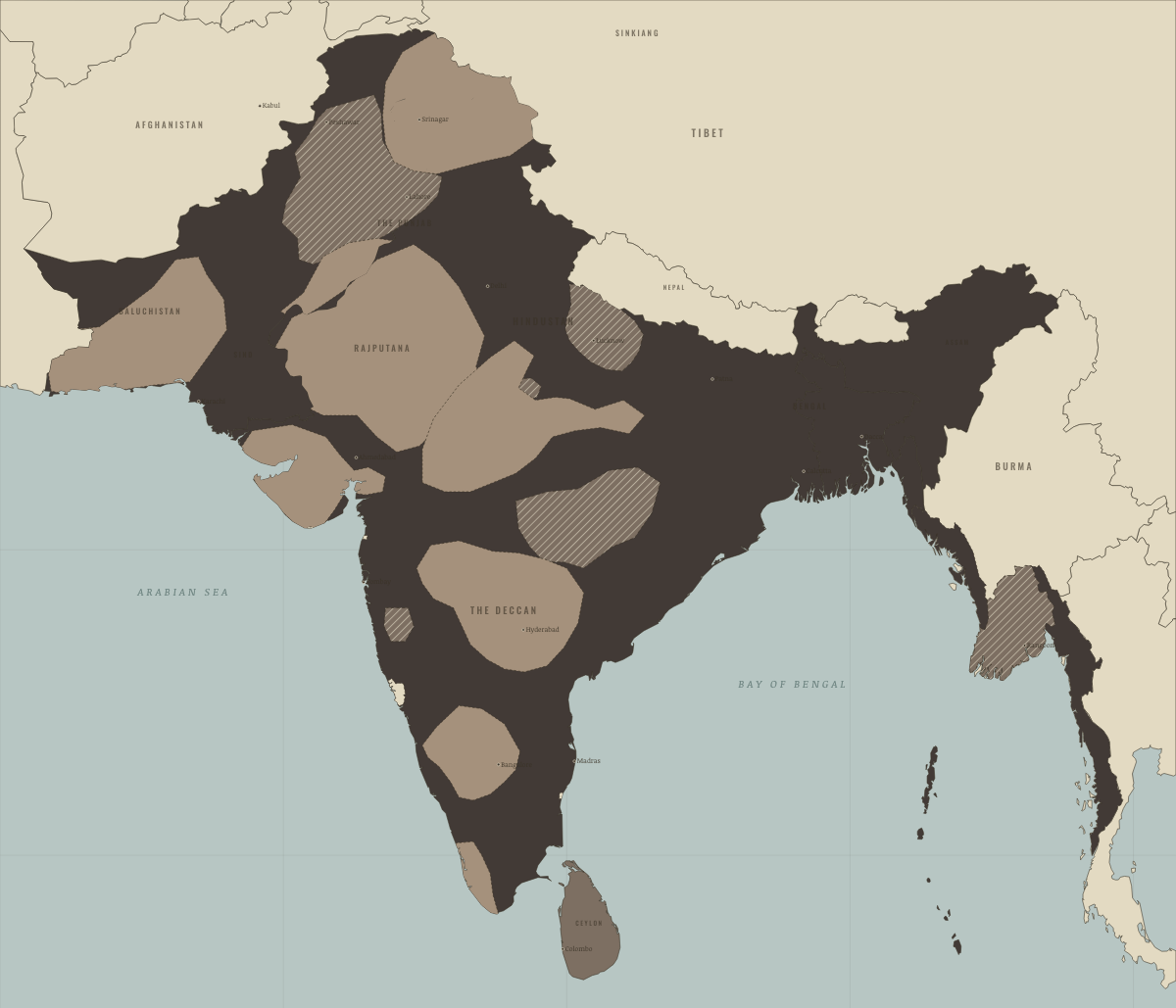
January 1857
THE COMPANY’S INDIA
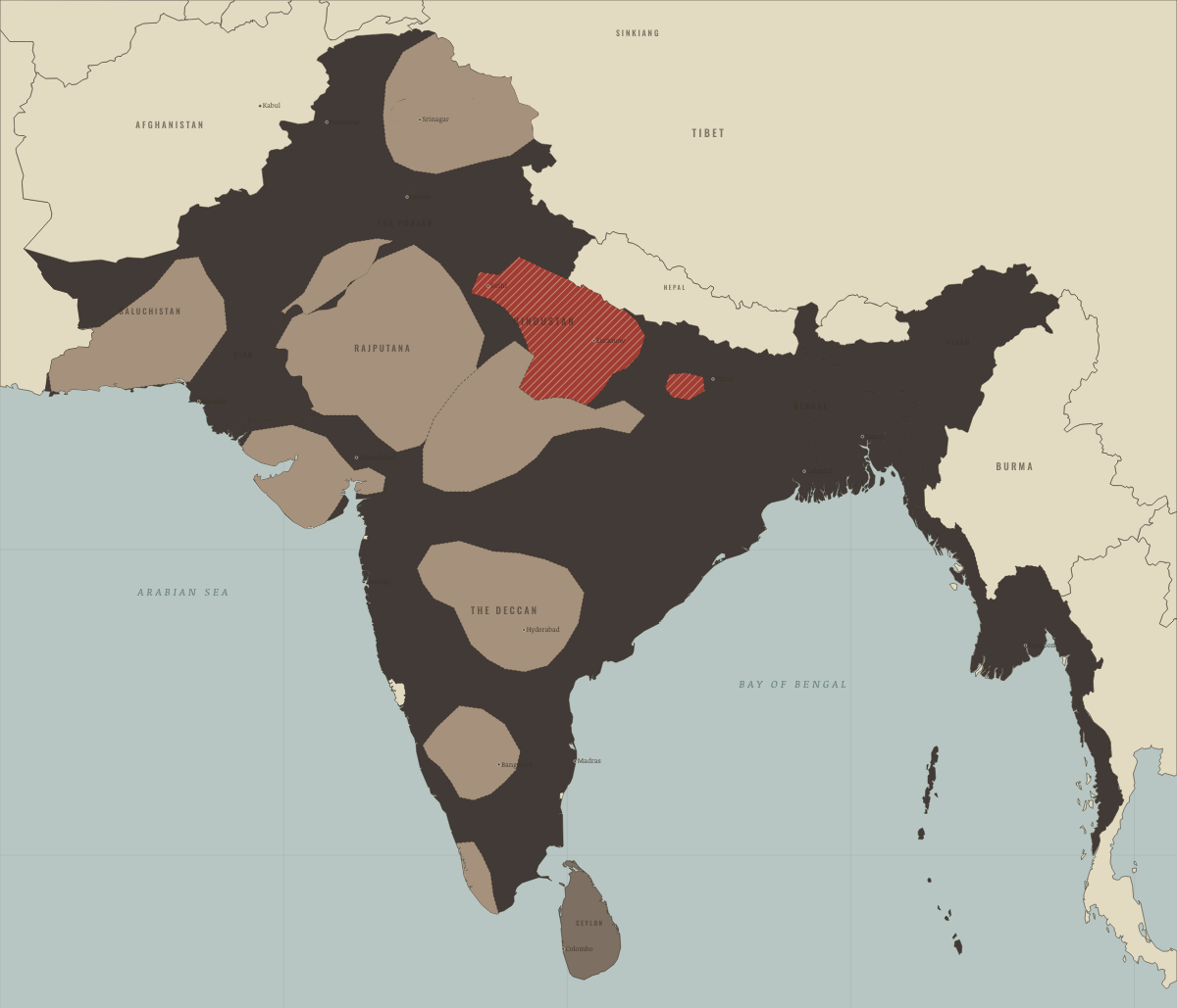
July 1857
THE RISING AT ITS HEIGHT
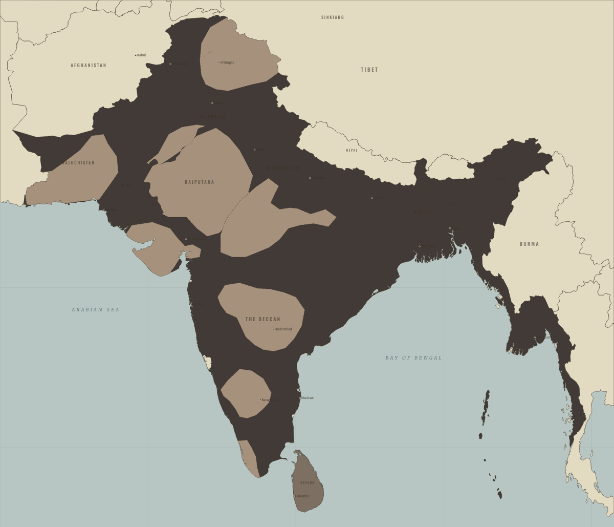
November 1858
THE CROWN TAKES OVER
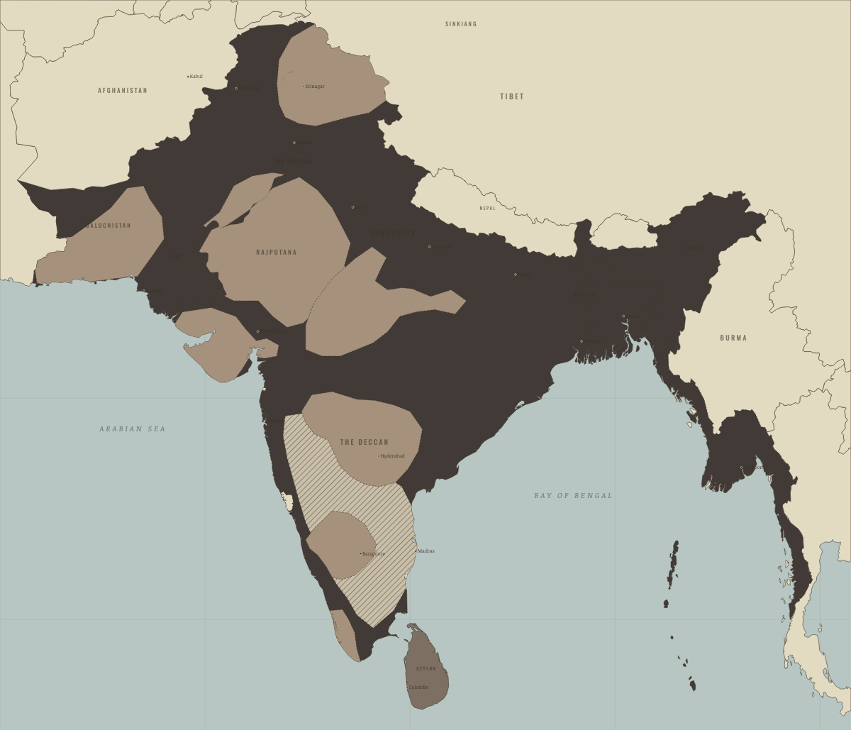
April 1877
THE GREAT FAMINE
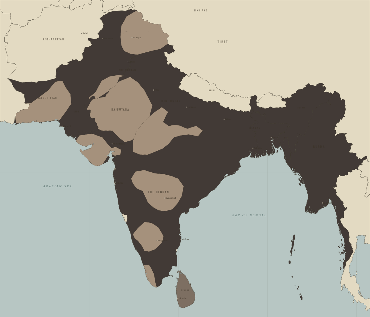
December 1885
CONGRESS MEETS; BURMA FALLS
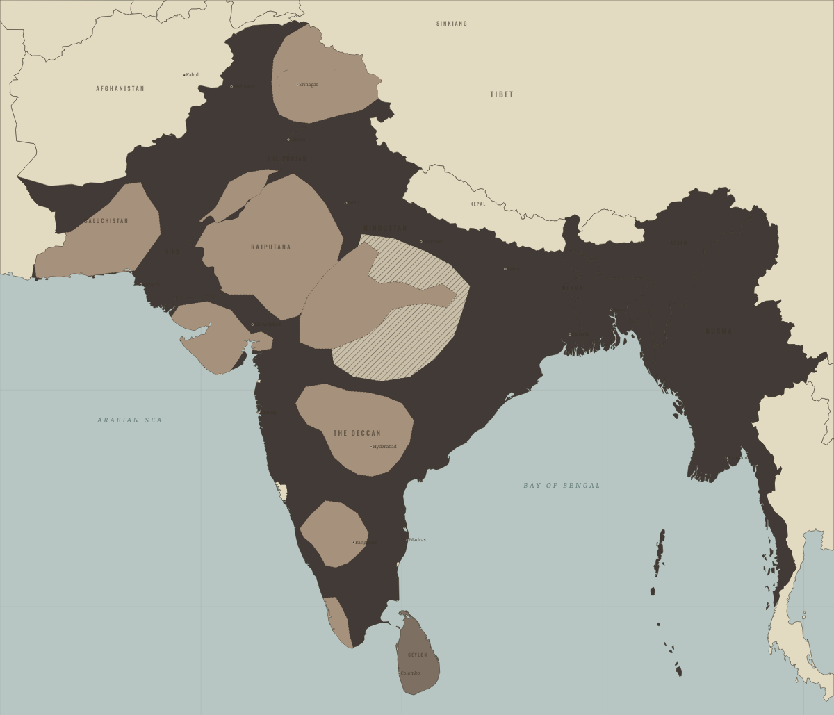
March 1897
FAMINE AND PLAGUE
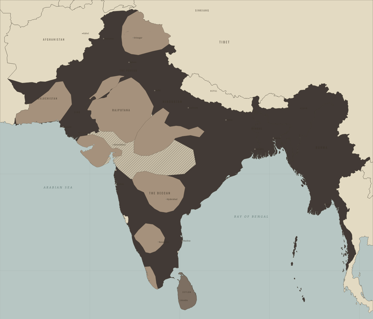
April 1900
THE FAMINE OF 1899–1900
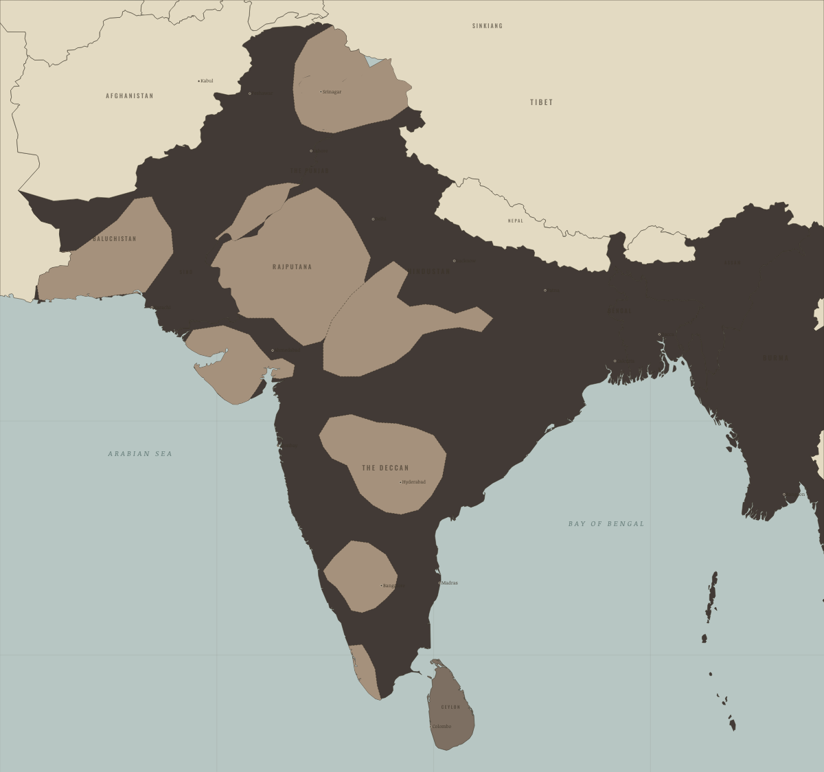
1905
THE RAJ AT HIGH NOON

October 1905
BENGAL PARTITIONED

December 1911
THE PARTITION ANNULLED

April 1919
MARTIAL LAW IN THE PUNJAB

August 1919
AFGHANISTAN BREAKS FREE
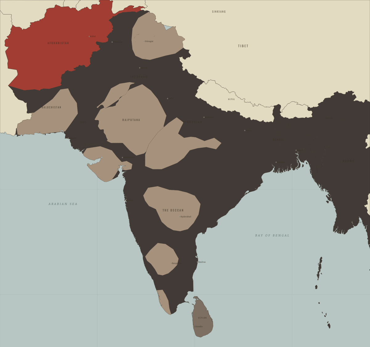
April 1930
CIVIL DISOBEDIENCE
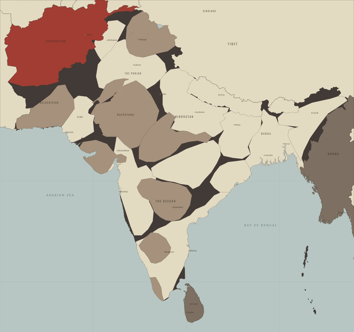
July 1937
THE ELECTED MAP

November 1939
THE MINISTRIES RESIGN

August 1942
QUIT INDIA

1943
FAMINE IN BENGAL

August 1946
DIRECT ACTION

March 1947
THE PUNJAB BURNS
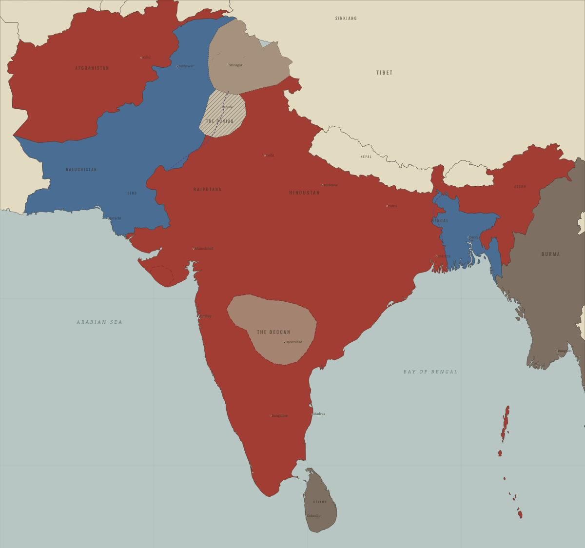
August 1947
PARTITION — TWO DOMINIONS

October 1947
WAR COMES TO KASHMIR
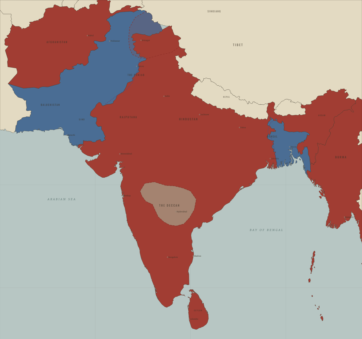
February 1948
BURMA & CEYLON GO FREE

January 1949
THE CEASEFIRE LINE
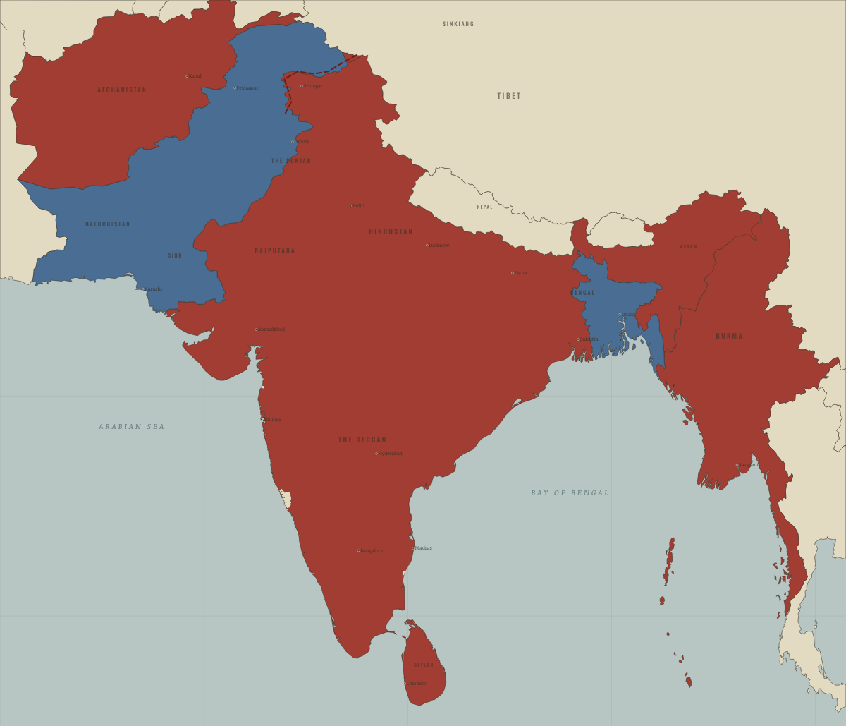
January 1950
THE REPUBLIC
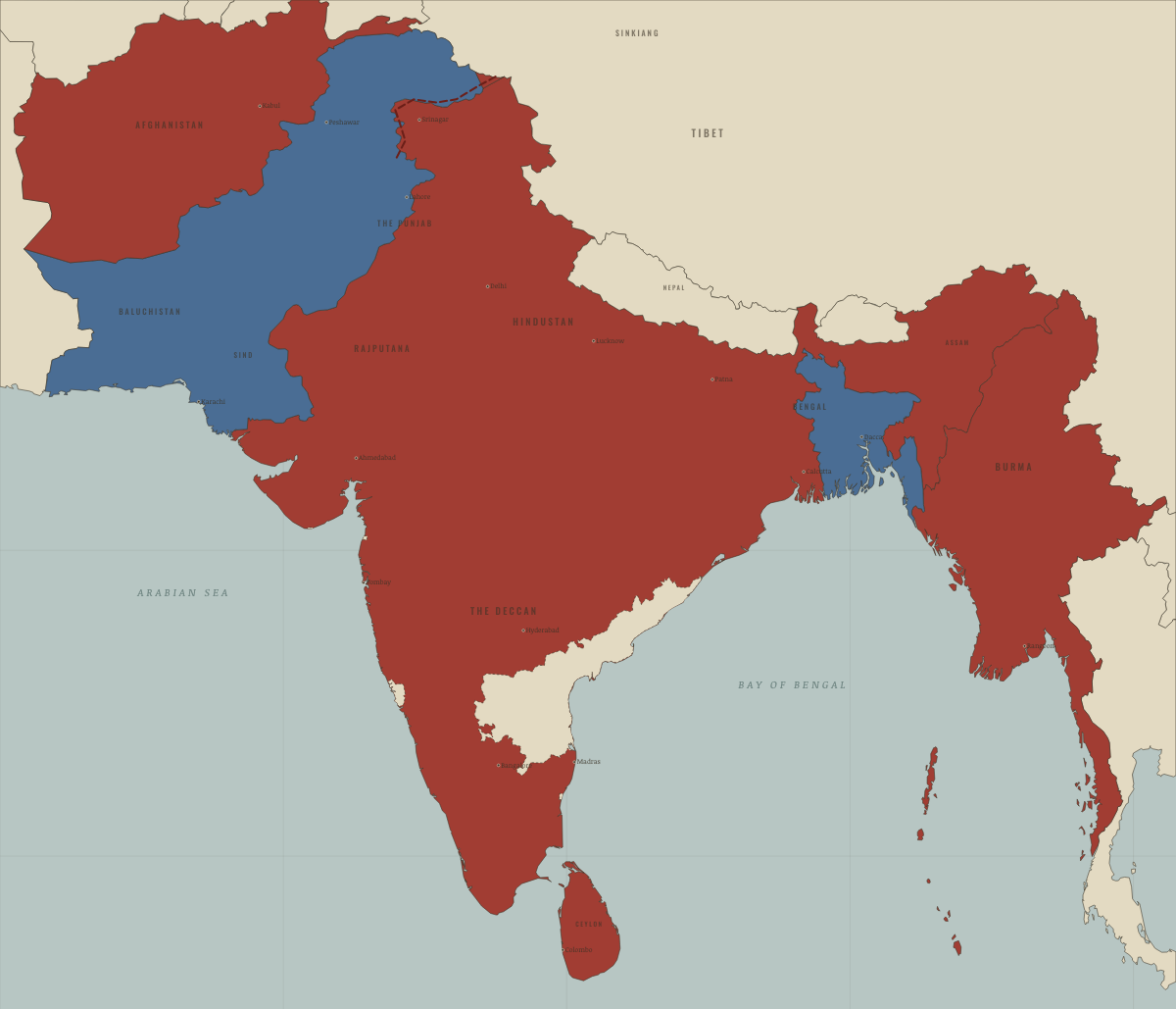
October 1953
ANDHRA, THE FIRST LINGUISTIC STATE
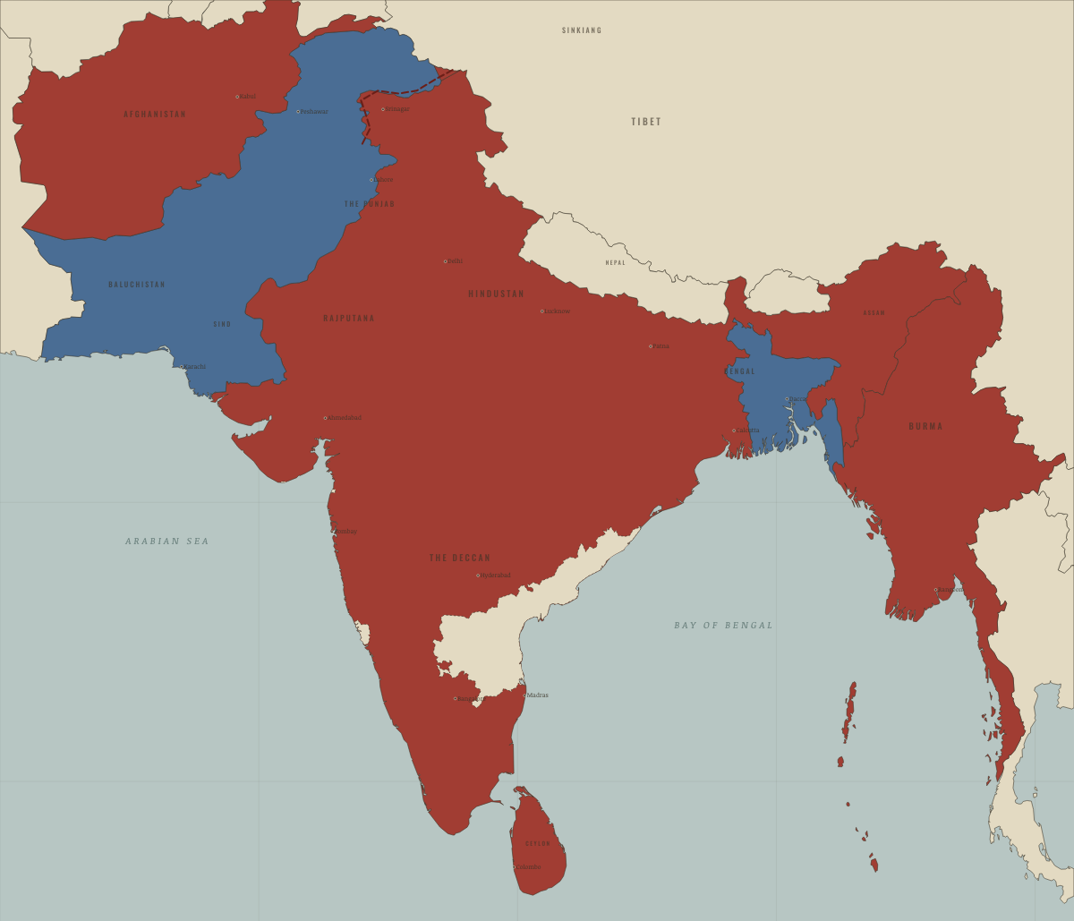
November 1954
FRENCH INDIA RETURNS
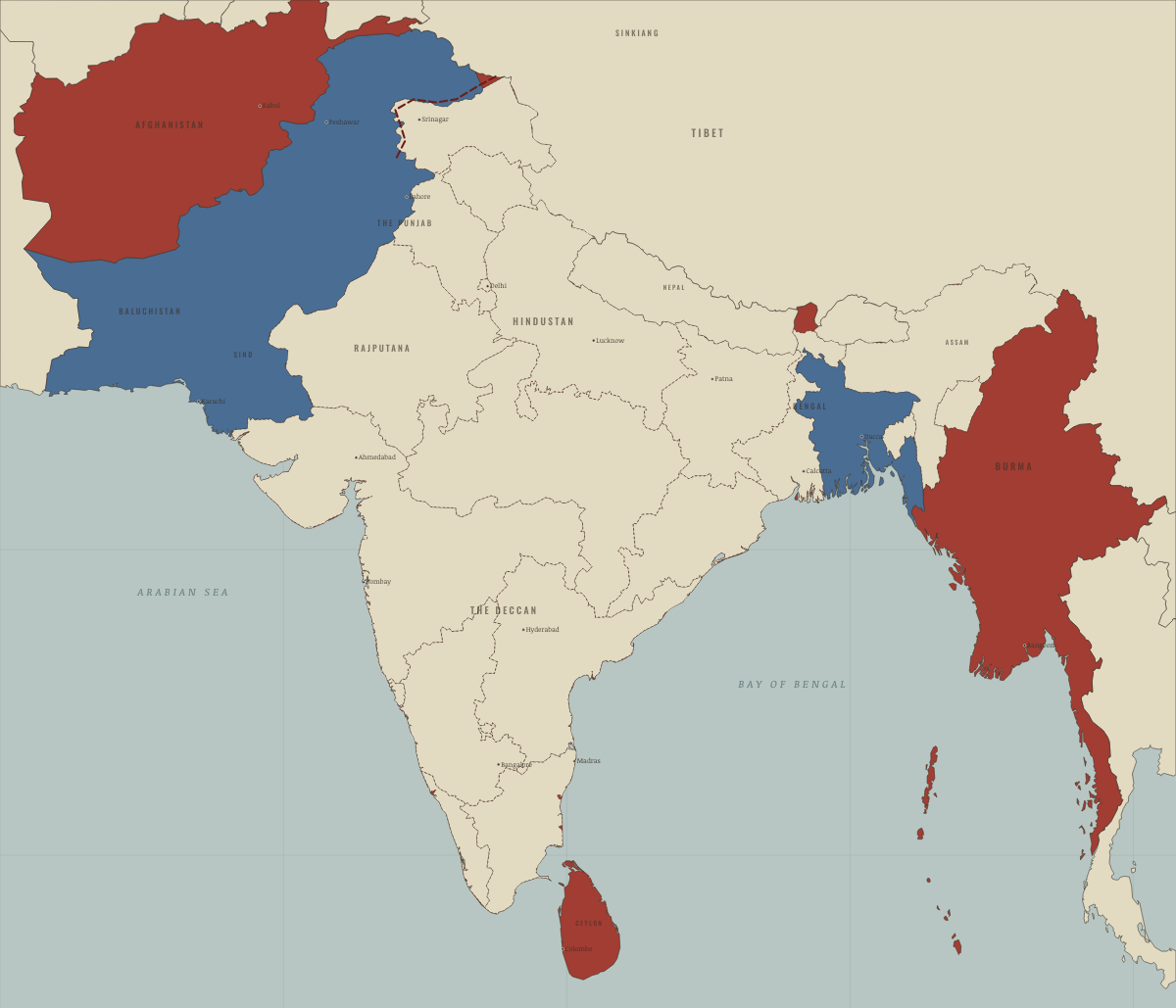
November 1956
THE STATES REDRAWN BY LANGUAGE
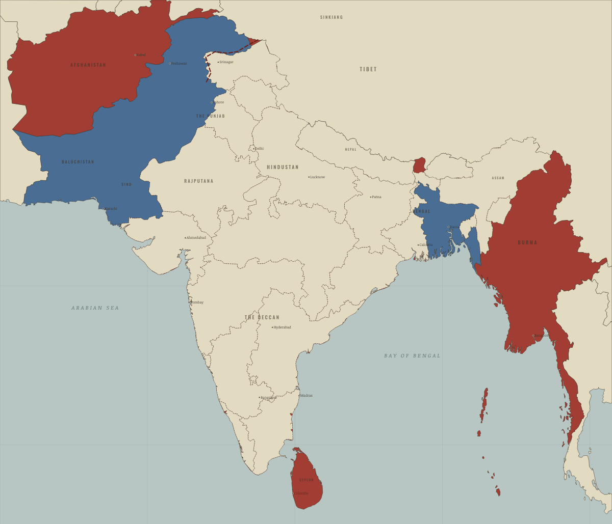
May 1960
BOMBAY DIVIDED
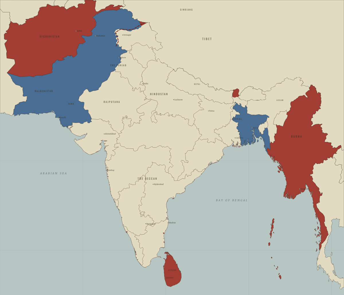
December 1961
GOA JOINS INDIA
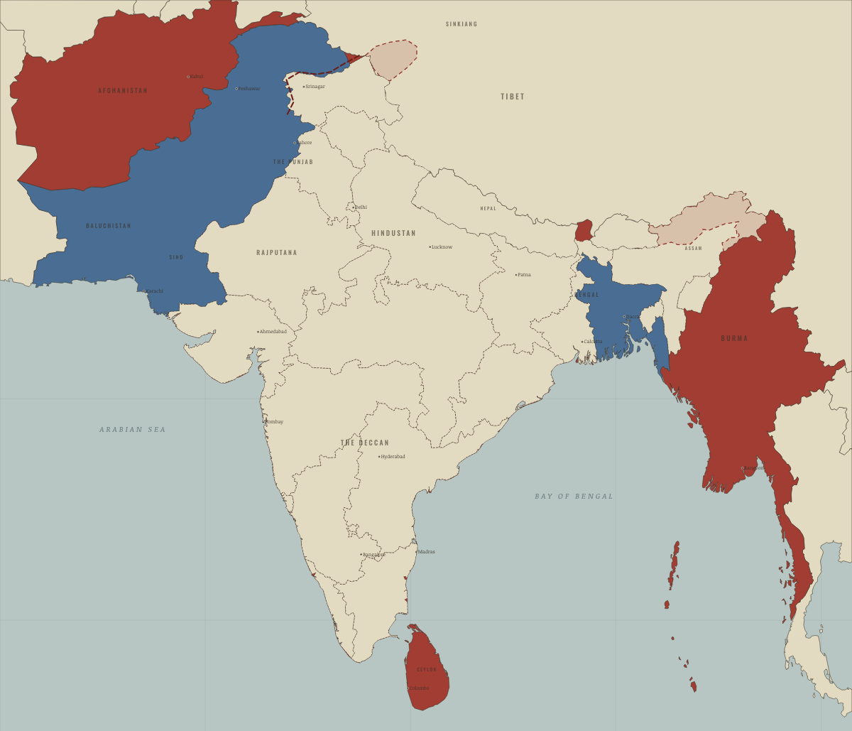
November 1962
WAR WITH CHINA
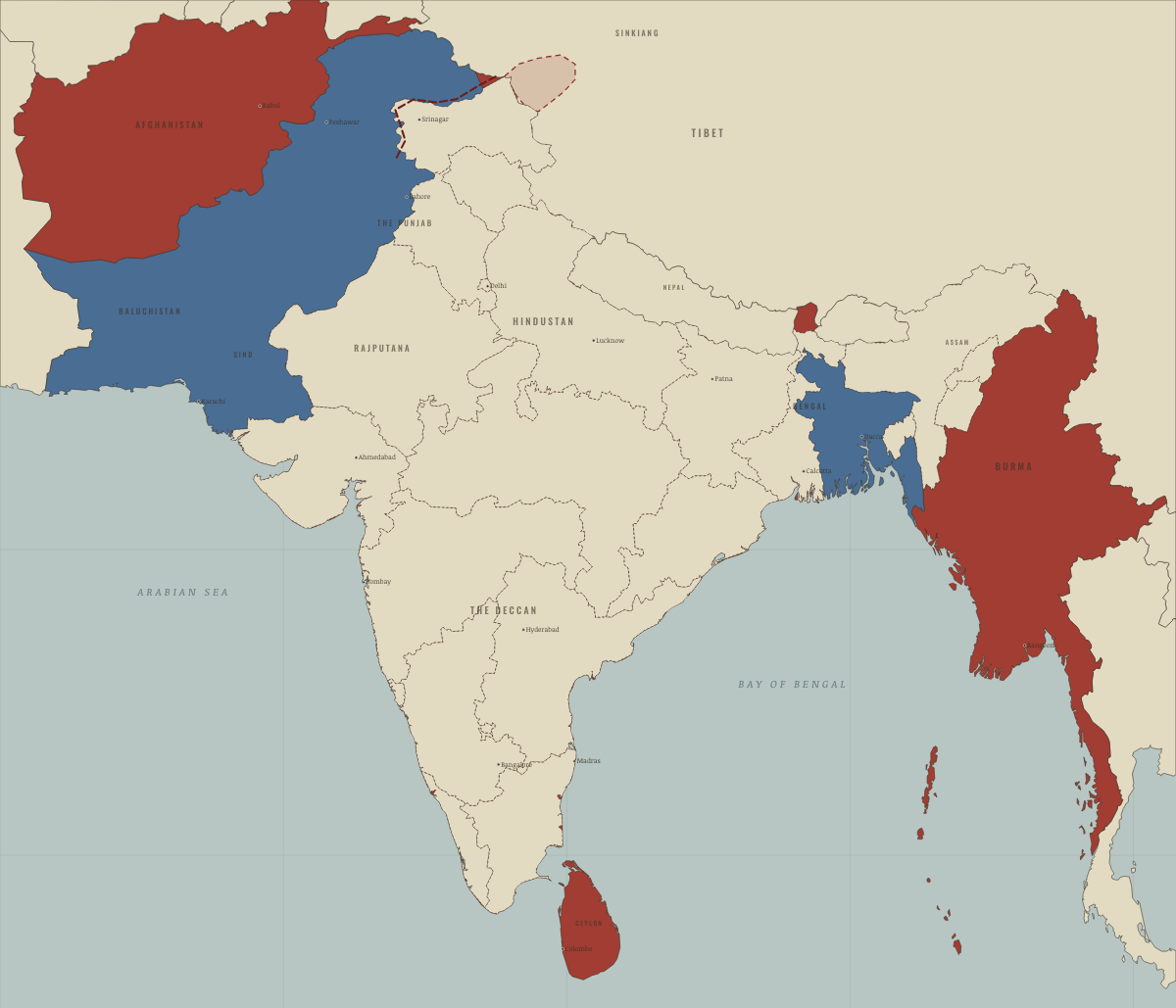
May 1964
NEHRU’S INDIA
Historical maps from every atlas, by year →
THE FREE PRINTABLE STUDY GUIDE
Join the Dispatch — a short welcome series, then a letter when a new atlas opens — and the printable study guide for Indian Independence & Partition is yours now, free.
NO TRACKING · YOUR ADDRESS IS USED FOR THE DISPATCH AND NOTHING ELSE · UNSUBSCRIBE ANYTIME