Indian Independence & Partition, 1857–1964
Indian independence timeline and maps
Indian Independence & Partition, 1857–1964 told in 15 chapters on an interactive situation map, with 31 dated maps and 61 battles, turning points and sites of memory, each drawn where it happened. This page is the index: every chapter, map and place as its own page.
WW2 is free — every chapter. Try chapters 1–2 of any 2 other atlases (3 with a free account). Opening a new atlas uses one of them. Membership opens all 21 — Join.
Free printable Indian independence study guide, sent by email ↓
The chapters
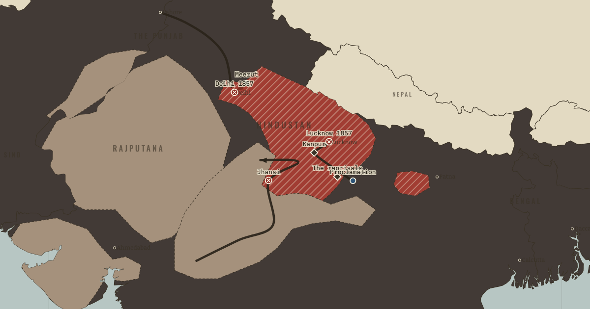
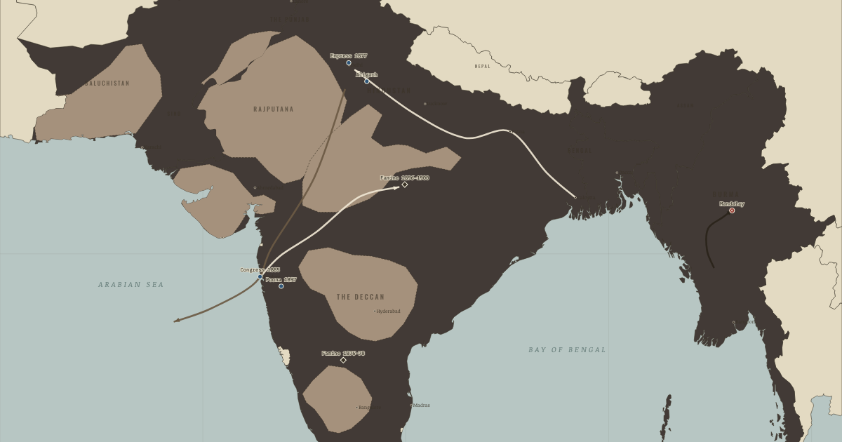
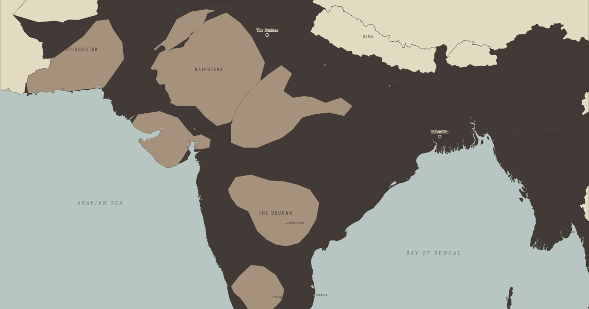
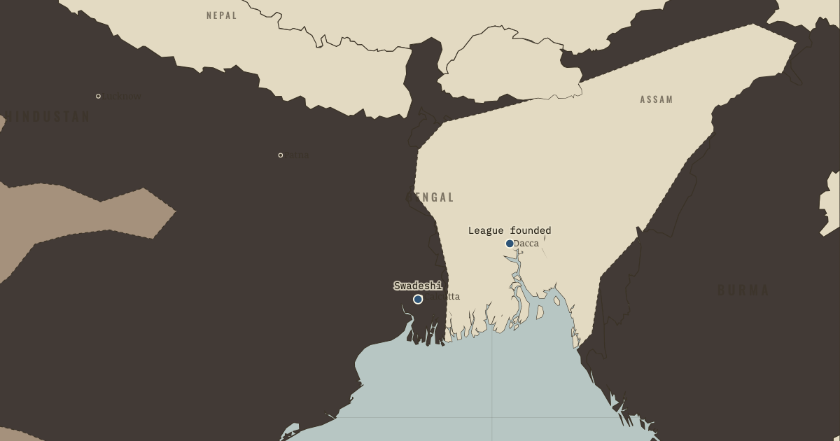
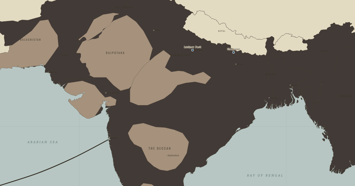
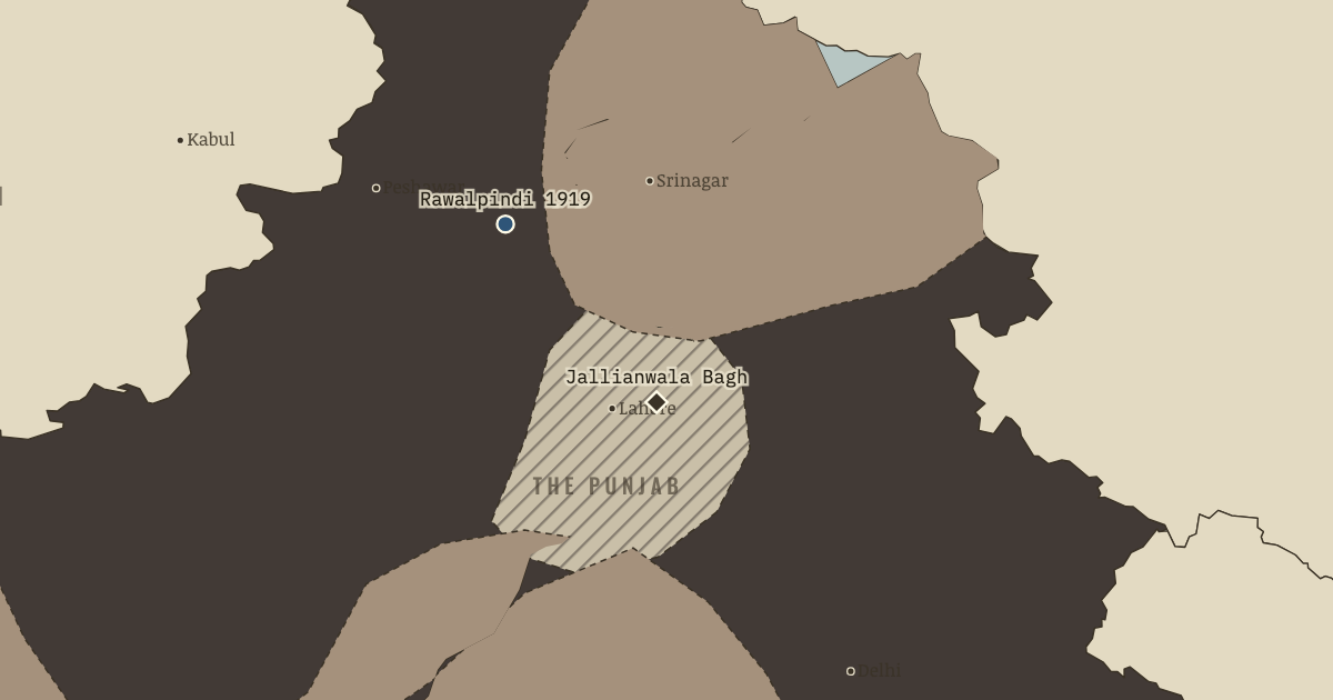
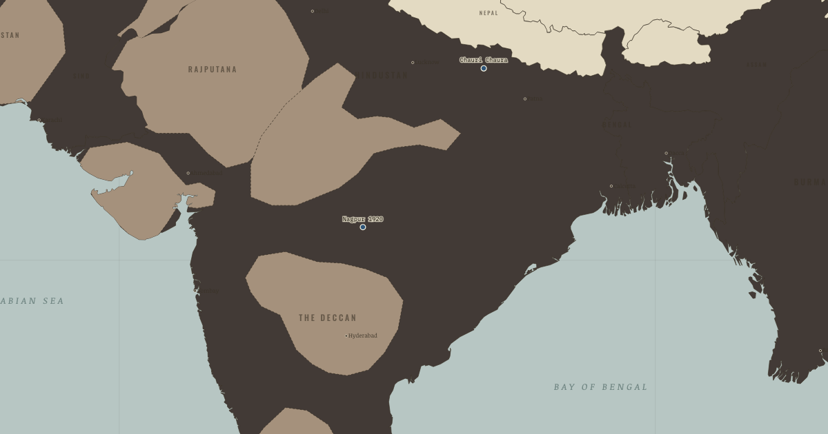
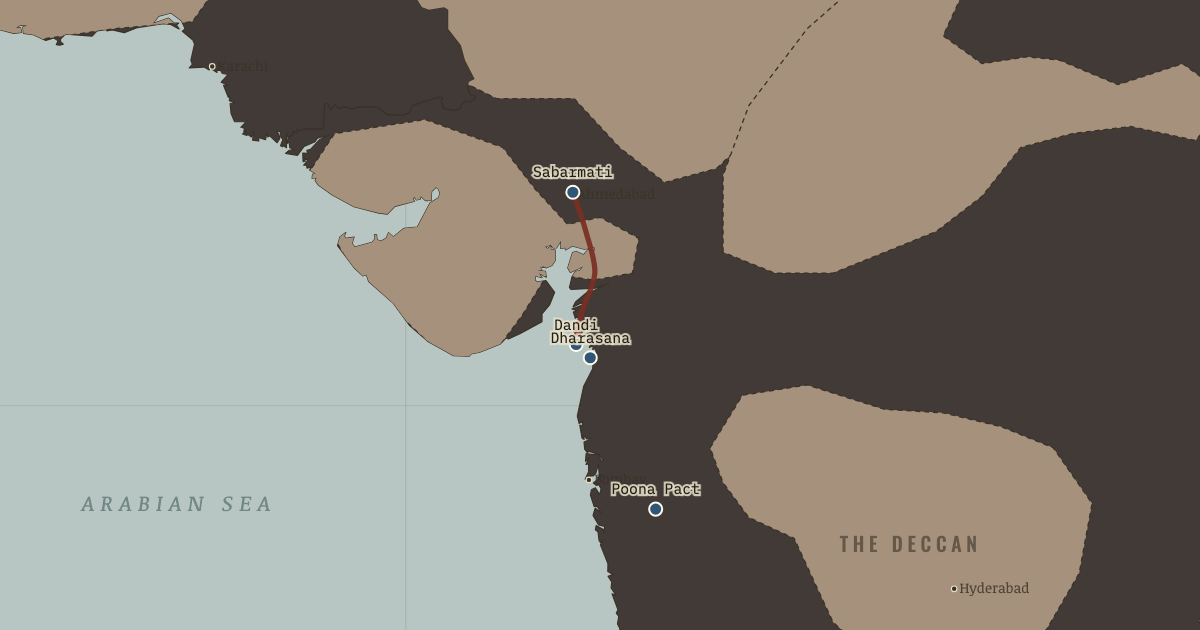
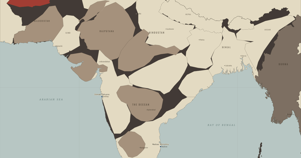
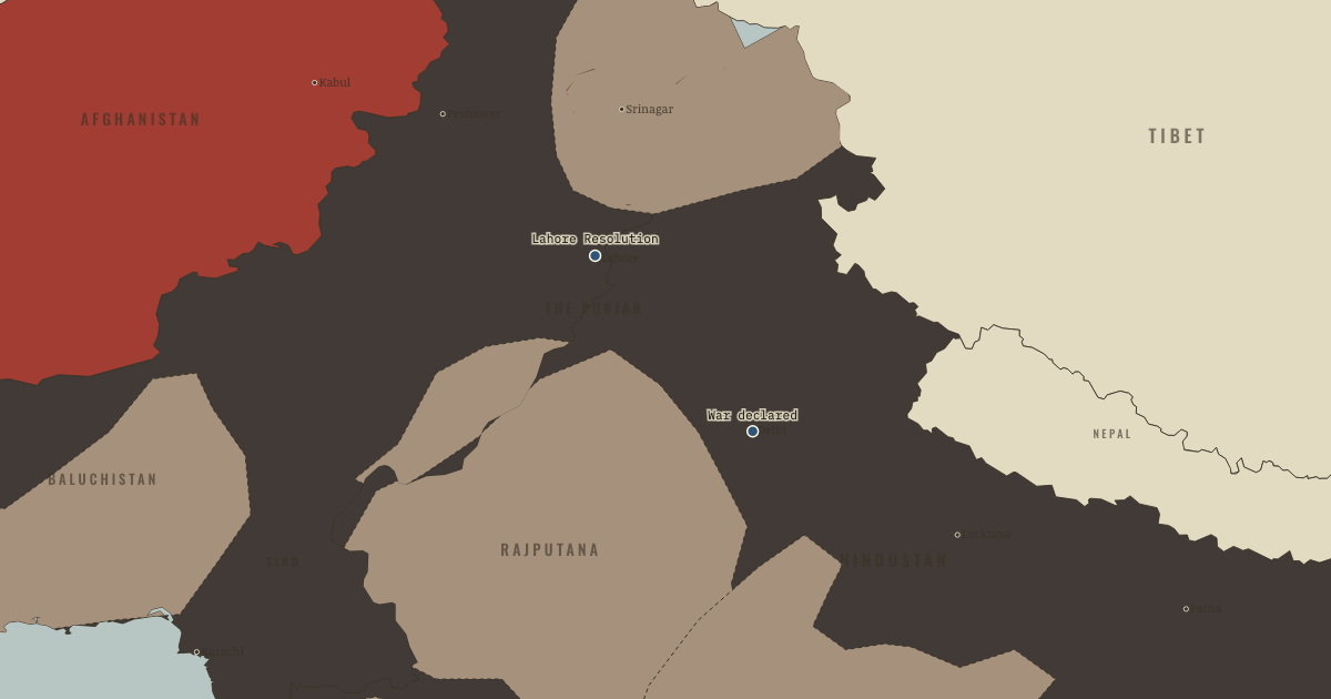
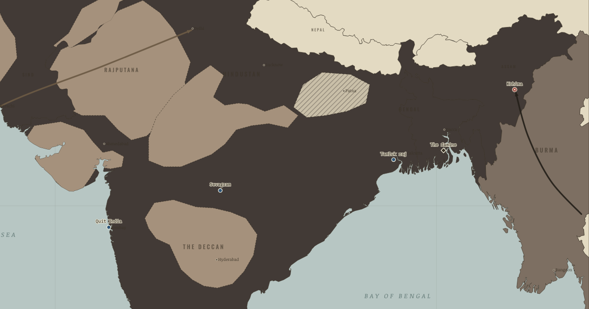
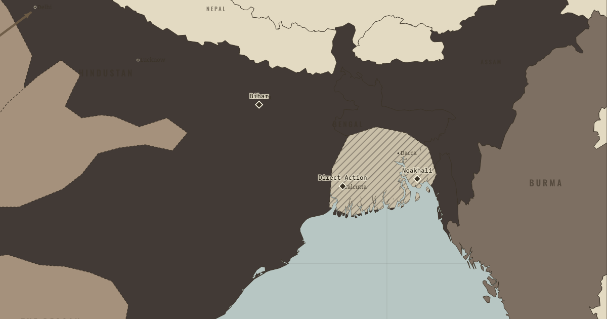
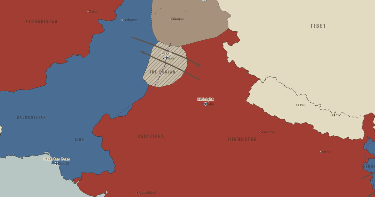
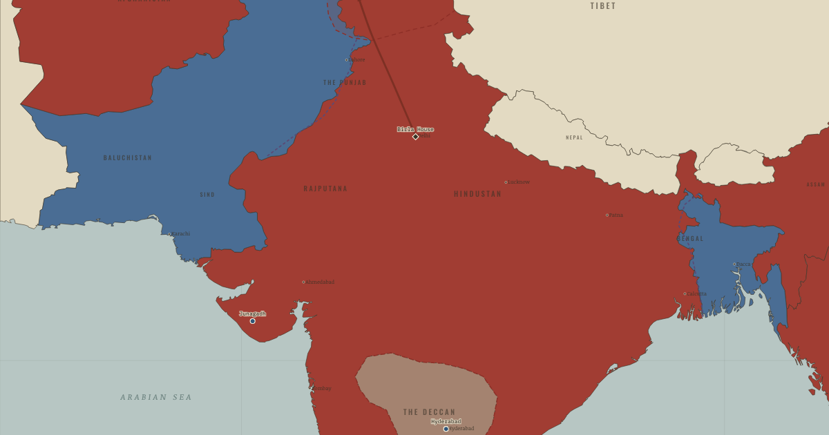
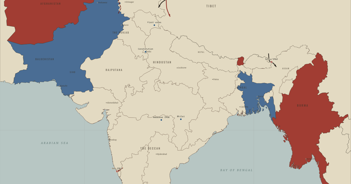
Indian independence maps by year
Battles, events and sites of memory
The places, chapter by chapter →
Study and test
THE FREE PRINTABLE STUDY GUIDE
Join the Dispatch — a short welcome series, then a letter when a new atlas opens — and the printable study guide for Indian Independence & Partition is yours now, free.
NO TRACKING · YOUR ADDRESS IS USED FOR THE DISPATCH AND NOTHING ELSE · UNSUBSCRIBE ANYTIME