Historical map · 1942
Map of Africa in 1942
In 1942, the historical border data behind our interactive map draws 25 states, empires and other polities in Africa. By the land they held inside this region, the largest were the British Empire, Vichy France and the French Africa. The Union of Soviet Socialist Republics reached well beyond Africa: its whole territory measured about 20.6 million km².
See this map live. The interactive map opens on Africa in 1942. Zoom in, move the year slider to watch the borders change, or ask the history guide a question and it draws the answer on the map.
OPEN 1942 ON THE MAP →Ask the history guide about 1942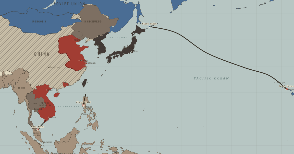
States and empires in Africa in 1942
| State | In this region | In the data |
|---|---|---|
| British Empire Wikipedia | 8.9 million km² | 1706–1999 |
| Vichy France Wikipedia | 8.7 million km² | 1940–1944 |
| French Africa Wikipedia | 8.7 million km² | 1846–1957 |
| British Africa Wikipedia | 7.0 million km² | 1885–1960 |
| Free French Wikipedia | 2.4 million km² | 1940–1944 |
| Belgian Congo Wikipedia | 2.4 million km² | 1890–1962 |
| Portugal (Estado Novo) Wikipedia | 2.1 million km² | 1926–2024 |
| South Africa Wikipedia | 2.1 million km² | 1932–2024 |
| Kingdom of Saudi Arabia Wikipedia | 1.8 million km² | 1936–2024 |
| Italian Africa Wikipedia | 1.5 million km² | 1890–1943 |
| British Gold Coast Wikipedia | 1.2 million km² | 1873–1960 |
| Ethiopia Wikipedia | 1.1 million km² | 1942–2024 |
| Kingdom of Egypt Wikipedia | 1.0 million km² | 1922–1952 |
| Francoist Spain Wikipedia | 434,000 km² | 1939–1975 |
| Kingdom of Iraq Wikipedia | 434,000 km² | 1932–1957 |
| United Kingdom Wikipedia | 361,000 km² | 1709–2024 |
| Republic of Turkey Wikipedia | 210,000 km² | 1924–2024 |
| French Mandate for Syria and Lebanon Wikipedia | 196,000 km² | 1920–1945 |
| Pahlavi Iran Wikipedia | 159,000 km² | 1924–1978 |
| North Yemen Wikipedia | 152,000 km² | 1919–1989 |
| Union of Soviet Socialist Republics Wikipedia | 104,000 km² | 1922–1991 |
| Republic of Liberia Wikipedia | 100,000 km² | 1848–2024 |
| Nazi Germany Wikipedia | 58,000 km² | 1933–1944 |
| Kingdom of Italy Wikipedia | 42,000 km² | 587–1946 |
| Muscat and Oman Wikipedia | 12,000 km² | 1900–1969 |
"In the data" gives the first and last year the dataset draws the state under this identity; states often existed earlier or later in another form.
What changed since 1940
New on the map: Ethiopia, Union of Soviet Socialist Republics.
Gone from the map: Greece.
What comes next: 1945
Appear by 1945: French Fourth Republic, Kingdom of Greece, Lebanon.
Gone by 1945: Vichy France, Free French, Italian Africa, Kingdom of Iraq, Nazi Germany.
Read the history of 1942
Guided atlas chapters set near this date, each with its own map, causes and consequences:
- Pearl Harbor: The Roads MeetThe Road to War · chapter 12 · 1941
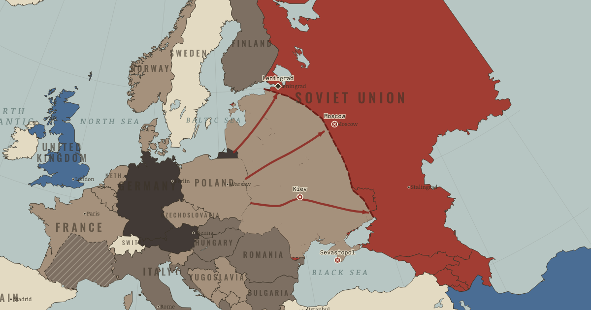 Barbarossa: The War of AnnihilationWW2 · chapter 6 · DEC 1941
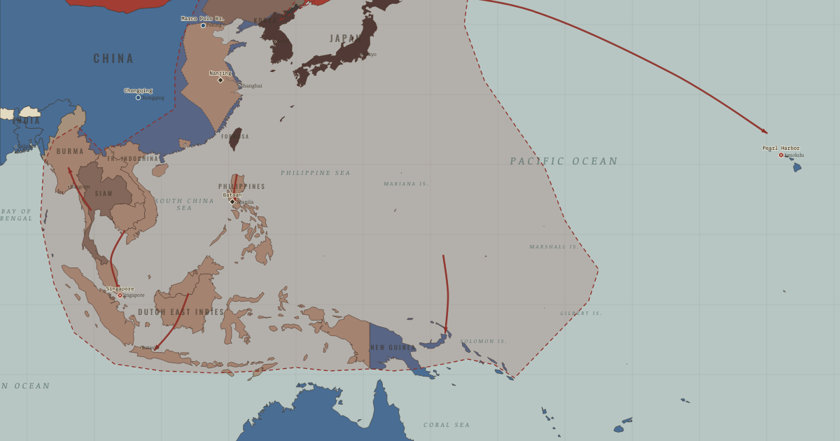 Rising Sun: From China to Pearl HarborWW2 · chapter 7 · MAY 1942
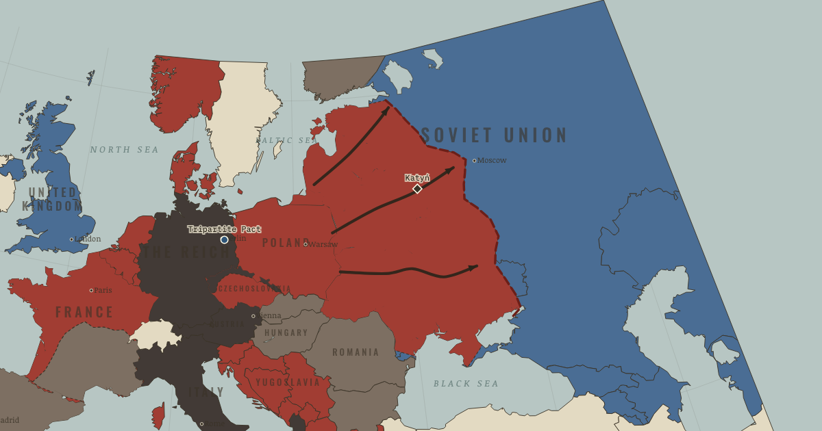 Barbarossa: The Gamble That Ends the GamblesThe Road to War · chapter 11 · 1941
Questions about this map
Which countries were in Africa in 1942?
The map data draws 25 states and other polities in Africa in 1942. The largest by land were the British Empire, Vichy France, the French Africa, the British Africa and Free French.
What was the largest empire in Africa in 1942?
Of the states on this map, the Union of Soviet Socialist Republics held the most land in total: about 20.6 million km² in the reconstruction used here. Ancient and frontier borders are approximate, so treat areas as estimates.
Can I explore Africa in 1942 interactively?
Yes. Open the interactive map at 1942, zoom into any region, move through the years, and ask the history guide questions: it answers in plain words and draws places, armies and borders on the map.
About these borders
The borders come from Cliopatria (v0.2.1, Seshat Global History Databank, CC BY 4.0), the dataset behind our interactive map, with our audited name and border corrections. It records each state's territory year by year from 3400 BC to 2024. Borders before modern surveys are reconstructions: the data draws a state where it held control, and frontier zones, nomadic realms and loose overlordships are approximate. Areas are measured on an equal-area projection. Read how we make our maps.
Africa in other years
- 1500 BC
- 1000 BC
- 750 BC
- 500 BC
- 323 BC
- 200 BC
- 100 BC
- AD 1
- 100
- 200
- 300
- 400
- 500
- 600
- 700
- 800
- 900
- 1000
- 1100
- 1200
- 1300
- 1400
- 1444
- 1453
- 1492
- 1500
- 1550
- 1600
- 1648
- 1700
- 1750
- 1776
- 1789
- 1800
- 1815
- 1830
- 1850
- 1871
- 1880
- 1900
- 1910
- 1914
- 1918
- 1920
- 1930
- 1938
- 1939
- 1940
- 1942
- 1945
- 1950
- 1960
- 1970
- 1980
- 1990
- 2000
- 2010
- 2020