ON THIS DAY ·
Victoria proclaimed Empress of India
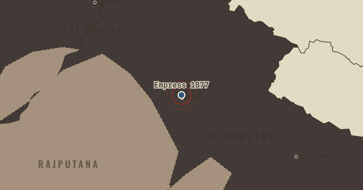
1 Jan 1877 — Lord Lytton’s Imperial Assemblage proclaimed Queen Victoria Kaisar-i-Hind, Empress of India, before princes ranked by gun-salute. In the south the famine was already spreading, and critics then and since have set the pageant beside the relief camps.
WW2 is free — every chapter. Try chapters 1–2 of any 2 other atlases (3 with a free account). Opening a new atlas uses one of them. Membership opens all 21 — Join.
Free printable Indian independence study guide, sent by email ↓
The moment in context
The Raj, as Crown rule over India was called, governed cheaply by relying on three pillars, and each of them shaped the map. The first was the Indian Civil Service, about a thousand British officers who ran every district, collected the land tax and sat as judges, much as a small corps of senior managers might run a vast company’s branches. Victoria had promised that her subjects would be admitted to office impartially, yet the examination was held only in London and its age limit was cut to nineteen in 1876, so only a handful of Indians entered. The second pillar was the princes, rulers of the semi-independent princely states, who were guaranteed their thrones and their right to adopt heirs; Mysore, run by British commissioners since 1831, was even returned to its dynasty in 1881. The third was an army rebuilt with more British troops and recruited in the Punjab and Nepal. Each pillar kept power in reliable hands, and each showed educated Indians where equality stopped.
From British Raj and the early Congress, chapter 2 of Indian Independence & Partition, 1857–1964 (DEC 1885).
The place: Victoria proclaimed Empress of India — map and full story →
Teach this in 5 minutes
- Why it happened — The Crown’s promise and its limits. Queen Victoria’s proclamation of 1858 promised that Indians would be “freely and impartially admitted” to office, and educated Indians took the…
- The turn — Bombay, 28 December 1885. The first session of Congress is the hinge of this chapter because it turned scattered local associations into a body that claimed to speak for…
- What it changed — Moderates and extremists. Within twenty years Congress divided over method. Moderates such as Gokhale believed that reasoned petitions to British liberals would win reform…
Then ask the room: Did British policy cause the famines of 1876–78 and 1896–1900, or only fail to prevent them? The argued answer is on the chapter page →
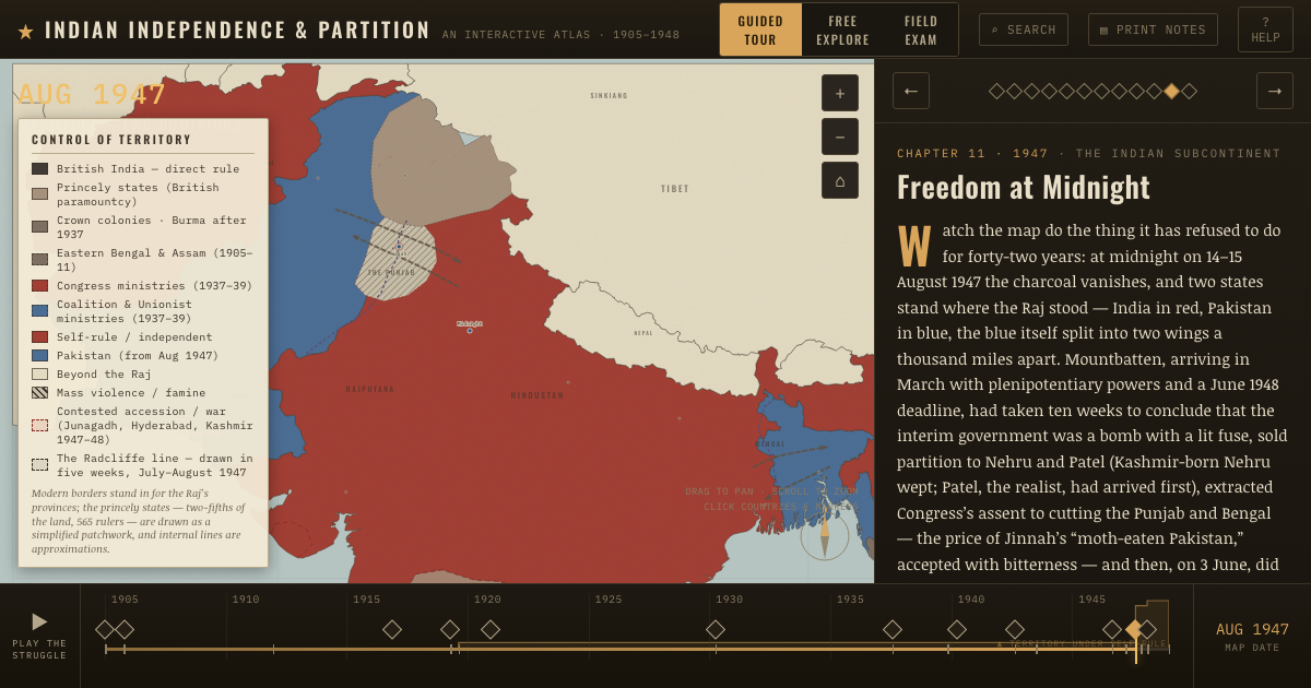
The atlas that shows it
THE FREE PRINTABLE STUDY GUIDE
Join the Dispatch — a short welcome series, then a letter when a new atlas opens — and the printable study guide for Indian Independence & Partition is yours now, free.
NO TRACKING · YOUR ADDRESS IS USED FOR THE DISPATCH AND NOTHING ELSE · UNSUBSCRIBE ANYTIME