ON THIS DAY ·
Occupation of the Ruhr
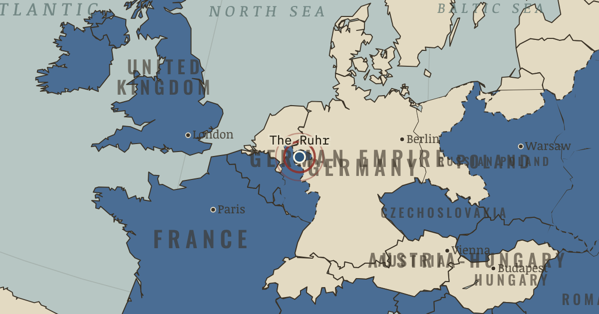
11 Jan 1923 — French and Belgian troops march into Germany’s industrial heartland after Germany falls behind on reparation deliveries of coal and timber. Germany answers with passive resistance and prints money to pay the strikers; by November a dollar costs 4.2 trillion marks.
WW2 is free — every chapter. Try chapters 1–2 of any 2 other atlases (3 with a free account). Opening a new atlas uses one of them. Membership opens all 21 — Join.
The moment in context
The treaties with Germany’s allies applied the principle of self-determination, the idea that each nation should govern itself, much like a referendum on independence, but in ways that favoured the victors, paying their allies in the losers’ land. Saint-Germain, the treaty with Austria, left a small German-speaking republic of about six and a half million people and forbade it to unite with Germany. Trianon, the treaty with Hungary, gave Transylvania to Romania, Slovakia to Czechoslovakia, and Croatia and the Vojvodina to the new Kingdom of the Serbs, Croats and Slovenes, later called Yugoslavia. Neuilly took Bulgaria’s Aegean coast, and Sèvres divided the lands of the Ottoman Empire, the Turkish state ruled by a sultan or emperor, among Britain, France, Italy and Greece. Each treaty also made the loser accept the League of Nations, the new body meant to settle disputes much like the United Nations today, yet barred the defeated from joining at first, which let them treat the League as the victors’ club.
From Europe’s new borders after WWI, chapter 15 of The Great War, 1871–1923 (JUL 1923).
The place: Occupation of the Ruhr — map and full story →
Teach this in 5 minutes
- Why it happened — The method Versailles set. The Treaty of Versailles, weighed in Chapter 14, settled Germany’s frontiers and set the method every other treaty followed. That method ran from…
- The turn — Lausanne, 24 July 1923. İsmet Pasha’s refusal to sign is the hinge of this chapter. Turkey’s delegate at Lausanne would not accept the capitulations, foreign financial…
- What it changed — Guardians and revisionists. The map of 1923 divided Europe into states that wanted to keep the settlement and states that wanted to overturn it. France allied with Poland in…
Then ask the room: “In 1919–1923 armies drew the map of Europe, and treaties only signed it.” How far do you agree? The argued answer is on the chapter page →
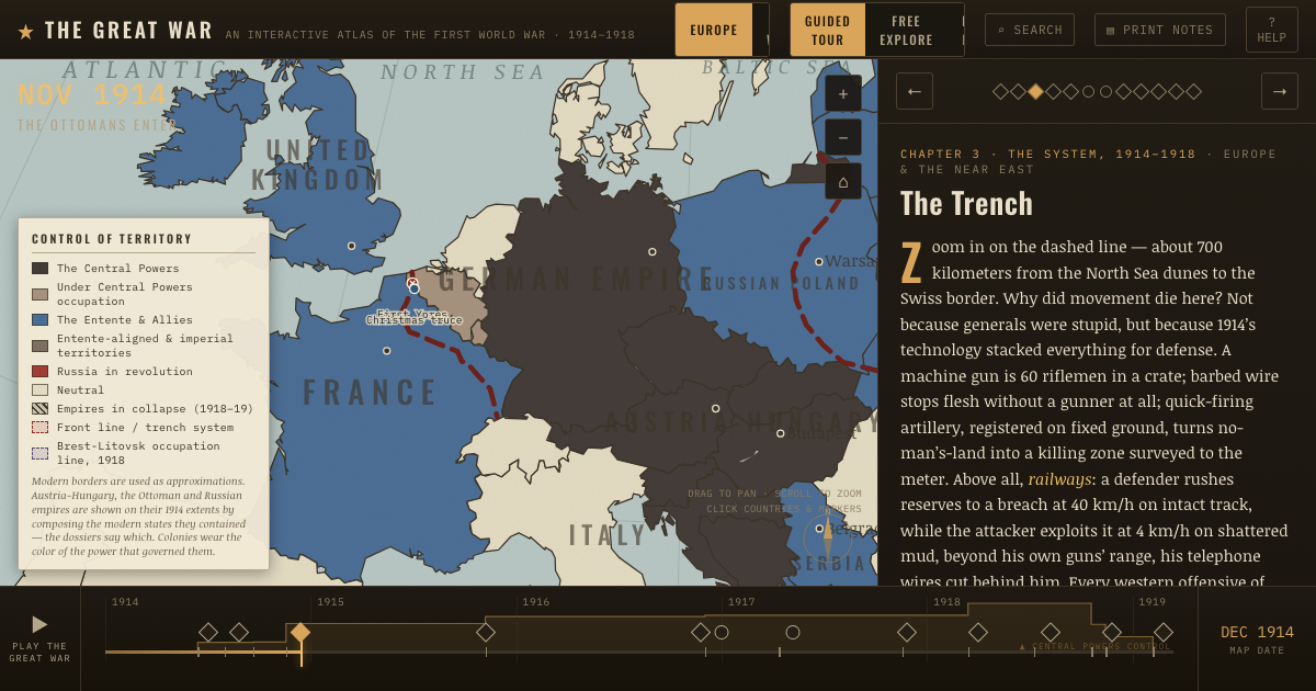
The atlas that shows it
THE FREE PRINTABLE STUDY GUIDE
Join the Dispatch — a short welcome series, then a letter when a new atlas opens — and the printable study guide for WWI is yours now, free.
NO TRACKING · YOUR ADDRESS IS USED FOR THE DISPATCH AND NOTHING ELSE · UNSUBSCRIBE ANYTIME