ON THIS DAY ·
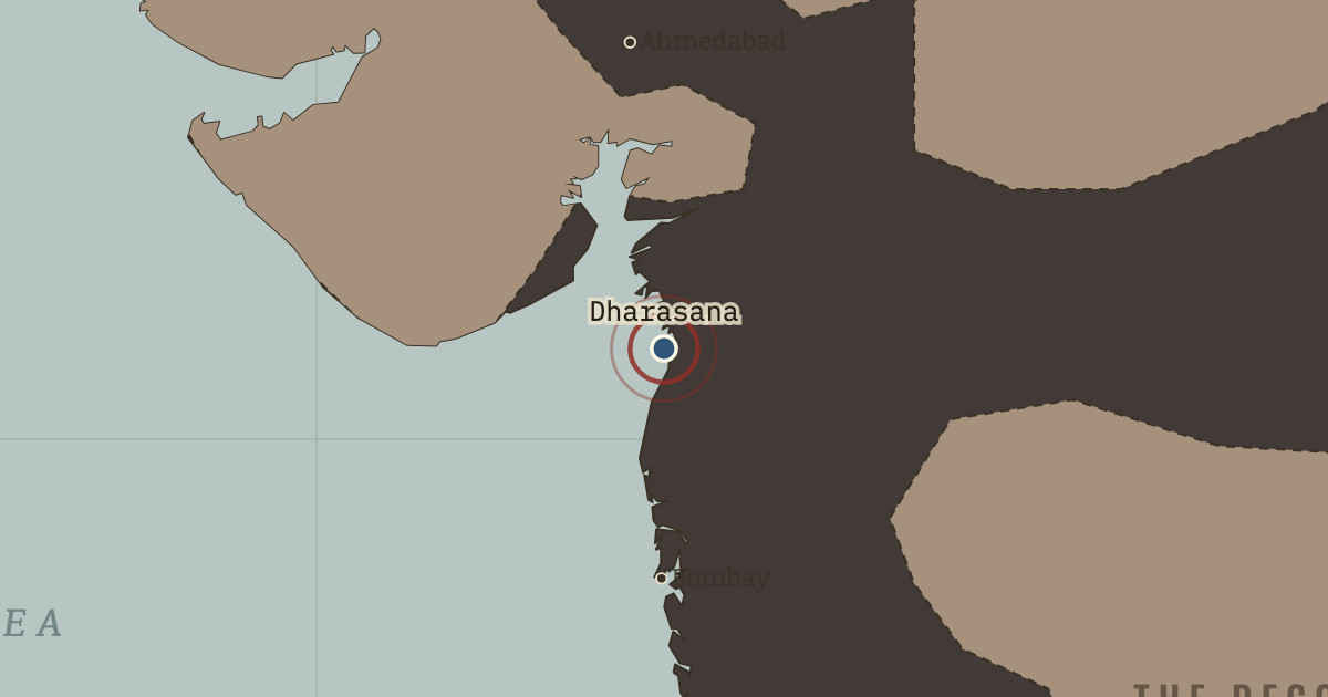
Dharasana Satyagraha
21 May 1930 — Column after column of satyagrahis walk unresisting into police lathis; the reporter Webb Miller counts the stretchers. His dispatch reaches a thousand newspapers: the Raj now rules, visibly, by the club.
WW2 is free — every chapter. Try chapters 1–2 of any 2 other atlases (3 with a free account). Opening a new atlas uses one of them. Membership opens all 21 — Join.
Free printable Indian independence study guide, sent by email ↓
The moment in context
Civil disobedience means openly and non-violently breaking a particular law in order to challenge the authority behind it, and Gandhi built the salt campaign to make that breach unanswerable. Congress had declared purna swaraj, or complete independence, on 26 January 1930, a date the republic still keeps, and Gandhi chose his ground with an eye for the absurd, since every Indian ate salt, the Raj monopolized and taxed it, and the sea made it free. On 12 March he left Sabarmati ashram with 78 chosen marchers, having first written to the Viceroy to say exactly what he intended to do. Over 240 miles and 24 days on foot the march gathered crowds, correspondents and newsreel cameras village by village. On 6 April at Dandi he stooped on the shore and lifted a handful of salt mud, and the signal released the country into illegal salt pans on every coast, boycotts of cloth and liquor, and no-tax campaigns. The movement’s quieter revolution was that women joined public politics for the first time in their tens of thousands, and some 60,000 arrests followed within months, turning the jails into the movement’s finishing school.
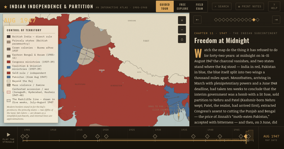
From Salt March and civil disobedience, chapter 8 of Indian Independence & Partition, 1857–1964 (APR 1930).
The place: Dharasana Satyagraha — map and full story →
Teach this in 5 minutes
- Why it happened — Why salt was the perfect target. The tax was small, universal and indefensible — it fell hardest on the poorest, it monetized a gift of the sea, and breaking it required no…
- The turn — Dandi, 6 April 1930. A sixty-one-year-old man picks up salt from a beach, and the act — petty larceny, on the statute book — reorders the politics of a fifth of…
- What it changed — Negotiation as recognition. The Gandhi–Irwin Pact settled little on paper — prisoners released, the march’s gains half-kept. But the fact of it changed the grammar: the Raj had…
Then ask the room: Civil disobedience never militarily threatened the Raj, and the Round Table Conference failed. In what sense did the salt campaign succeed? The argued answer is on the chapter page →
The atlas that shows it
THE FREE PRINTABLE STUDY GUIDE
Join the Dispatch — a short welcome series, then a letter when a new atlas opens — and the printable study guide for Indian Independence & Partition is yours now, free.
NO TRACKING · YOUR ADDRESS IS USED FOR THE DISPATCH AND NOTHING ELSE · UNSUBSCRIBE ANYTIME