ON THIS DAY ·
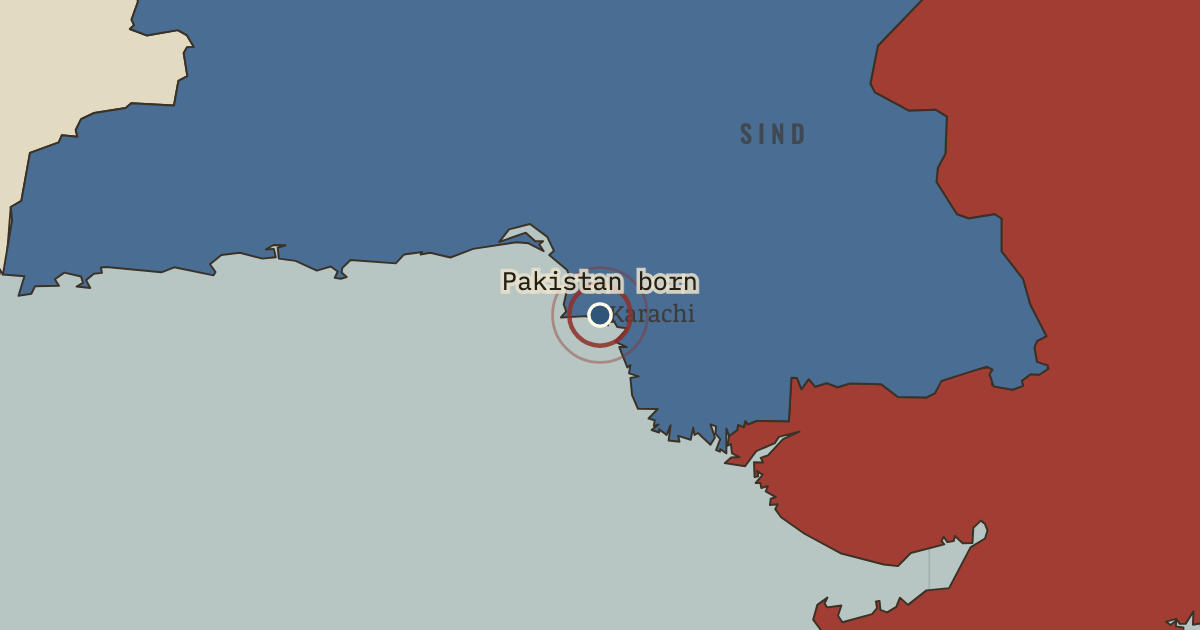
Independence of Pakistan
14 Aug 1947 — Jinnah, Governor-General at last, takes the salute in the new capital. Three days earlier he told the Constituent Assembly: “You may belong to any religion or caste or creed — that has nothing to do with the business of the State.”
WW2 is free — every chapter. Try chapters 1–2 of any 2 other atlases (3 with a free account). Opening a new atlas uses one of them. Membership opens all 21 — Join.
Free printable Indian independence study guide, sent by email ↓
The moment in context
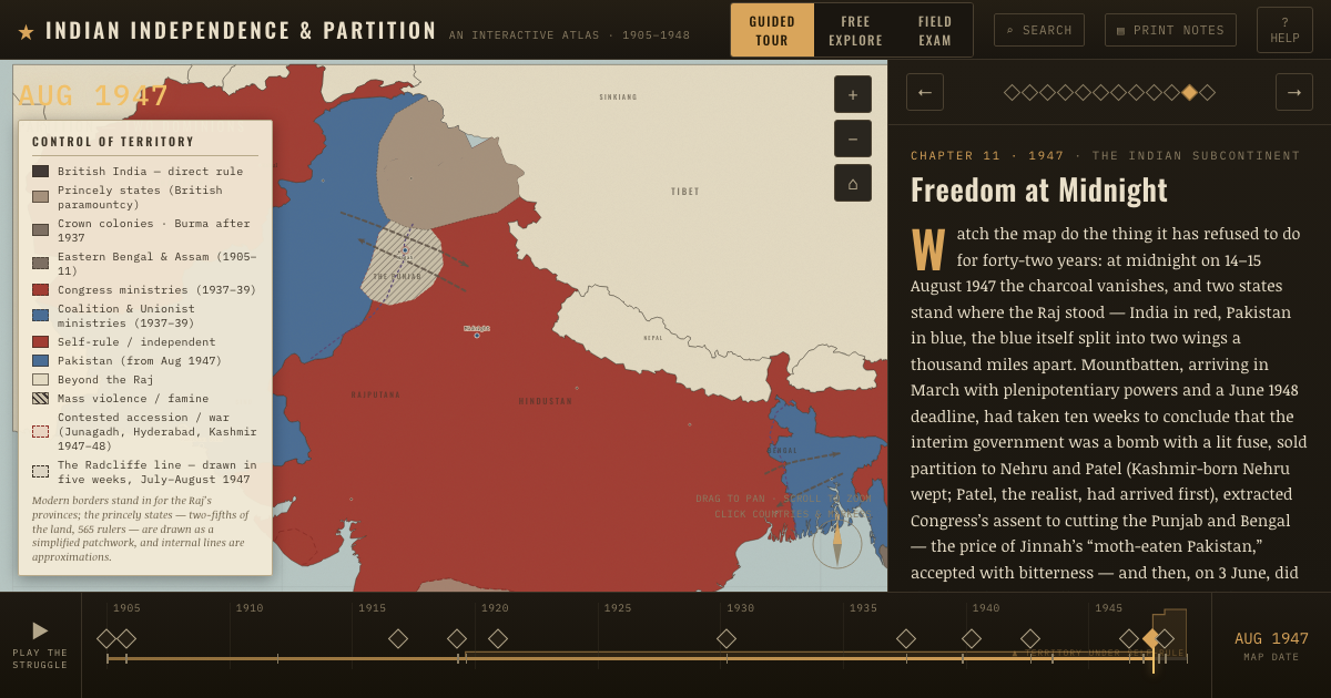
Partition divided British India into two dominions, while the princely states followed a separate process of accession. The pace was set by Mountbatten, who arrived in March 1947 with a June 1948 deadline and broad powers, and who concluded within ten weeks that the interim government could not hold. Nehru and Patel accepted the division of Punjab and Bengal, and Jinnah accepted what he called a “moth-eaten Pakistan.” On 3 June Mountbatten advanced the transfer by ten months to 15 August, which left just seventy-three days. In that time Patel and V. P. Menon pressed the princely states, the tan patchwork covering two-fifths of the land, to accede, committees divided the army, treasury and services, and Cyril Radcliffe, a British barrister who had never set foot in India, was given five weeks and two boundary commissions to partition Punjab and Bengal. Such speed left almost no time for security, administration or public preparation.
From Partition of India, chapter 13 of Indian Independence & Partition, 1857–1964 (AUG 1947).
The place: Independence of Pakistan — map and full story →
Teach this in 5 minutes
- Why it happened — The seventy-three-day timetable. Mountbatten’s defenders argue the Punjab proved the state was dissolving and delay meant civil war with a mutinying army. His critics answer that…
- The turn — The award published, 17 August 1947. Two days after the flags rose, the line appeared. Fifteen million people discovered which side of it their homes were on. The hinge of the chapter…
- What it changed — Two states built from one civil service. The division of assets ran from sterling balances (Pakistan’s share withheld, then released under Gandhi’s last fast) to army regiments split by…
Then ask the room: Mountbatten advanced independence by ten months. Weigh the decision: did speed avert a greater catastrophe, or cause the one that happened? The argued answer is on the chapter page →
The atlas that shows it
THE FREE PRINTABLE STUDY GUIDE
Join the Dispatch — a short welcome series, then a letter when a new atlas opens — and the printable study guide for Indian Independence & Partition is yours now, free.
NO TRACKING · YOUR ADDRESS IS USED FOR THE DISPATCH AND NOTHING ELSE · UNSUBSCRIBE ANYTIME