The Decolonization of Africa, 1945–1994
Decolonization of Africa maps by year
20 historical maps of The Decolonization of Africa, 1945–1994, one for each turning point: who controlled what, and what changed since the map before.
Explore every date in the interactive atlas →
WW2 is free — every chapter. Try chapters 1–2 of any 2 other atlases (3 with a free account). Opening a new atlas uses one of them. Membership opens all 21 — Join.
Free printable Decolonization of Africa study guide, sent by email ↓
Africa

1945
THE COLONIAL MAP

December 1951
LIBYA, THE FIRST

March 1956
SUDAN, TUNISIA, MOROCCO

March 1957
GHANA — THE DOOR OPENS

October 1958
GUINEA SAYS “NON”
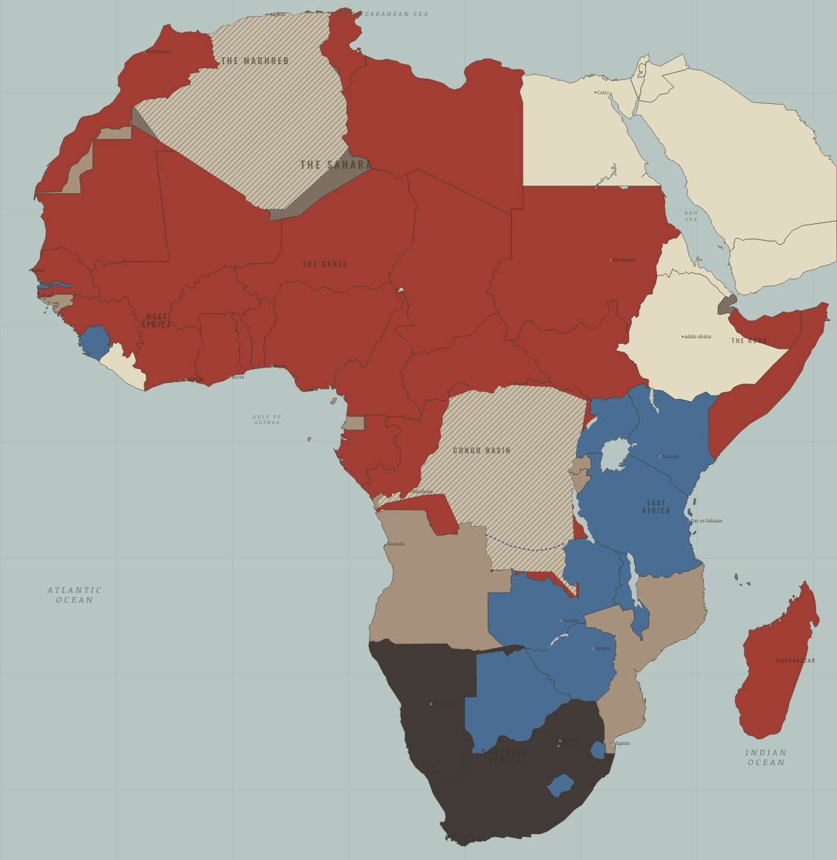
1960
THE YEAR OF AFRICA

December 1961
SIERRA LEONE & TANGANYIKA

July 1962
ALGERIA, RWANDA, BURUNDI, UGANDA

1963–64
KENYA, MALAWI, ZAMBIA
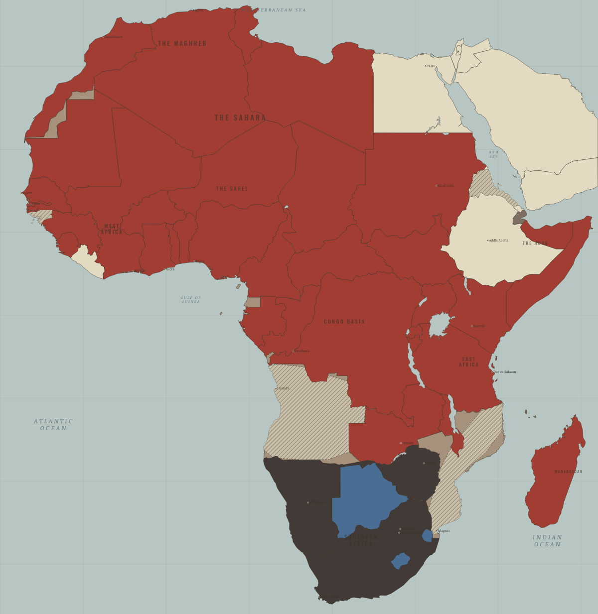
November 1965
RHODESIA’S UDI

1966–68
THE ENCLAVES — AND BIAFRA

January 1970
BIAFRA FALLS

September 1974
GUINEA-BISSAU & THE CARNATION
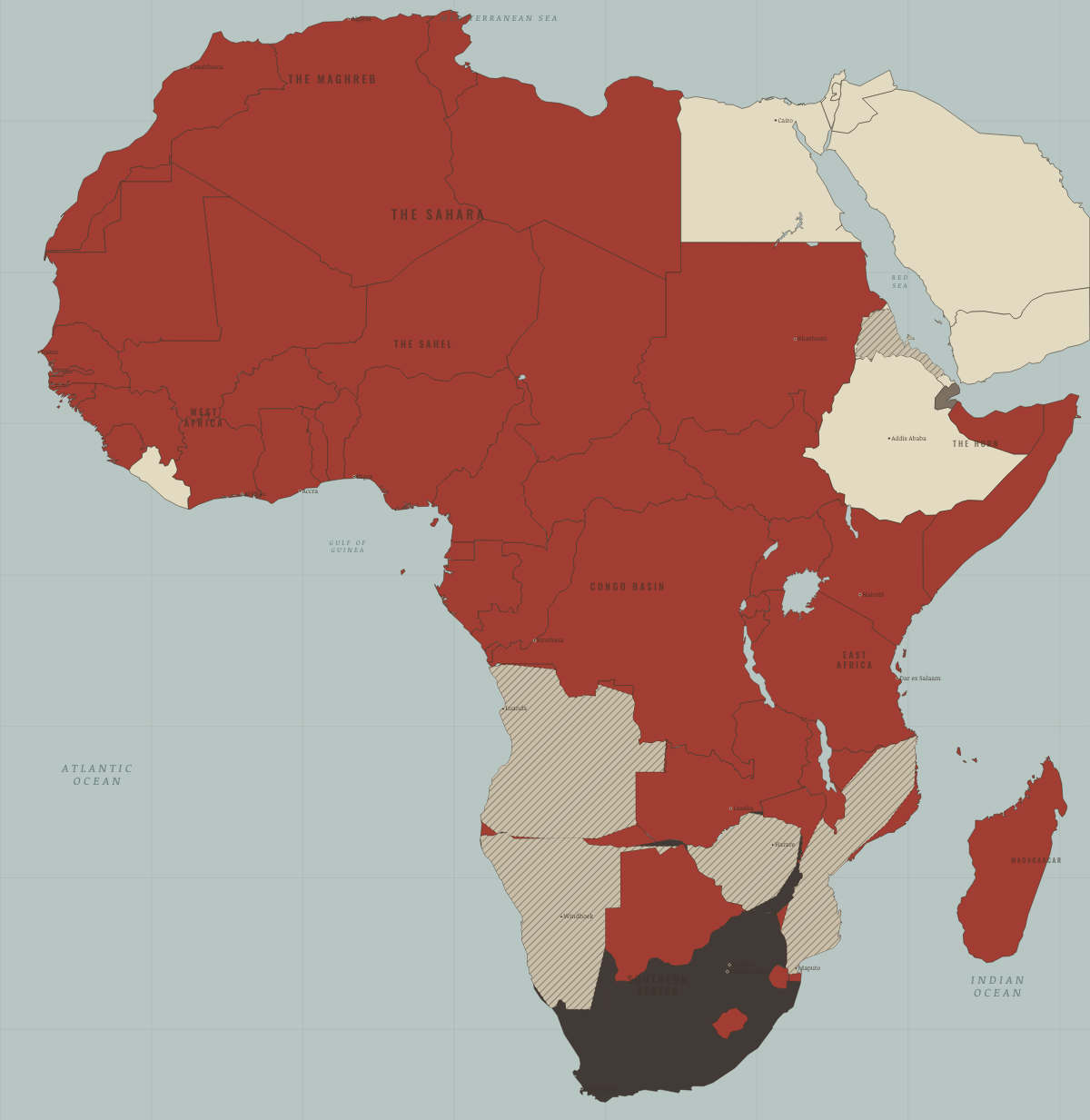
1975
THE PORTUGUESE EMPIRE ENDS

June 1977
DJIBOUTI — THE LAST FRENCH FLAG

April 1980
ZIMBABWE — A SETTLER STATE ENDS

1985
STATES OF EMERGENCY

March 1990
NAMIBIA — AND MANDELA WALKS

May 1993
ERITREA — A BORDER RESTORED

April 1994
SOUTH AFRICA VOTES — THE MAP COMPLETES
Historical maps from every atlas, by year →
THE FREE PRINTABLE STUDY GUIDE
Join the Dispatch — a short welcome series, then a letter when a new atlas opens — and the printable study guide for The Decolonization of Africa is yours now, free.
NO TRACKING · YOUR ADDRESS IS USED FOR THE DISPATCH AND NOTHING ELSE · UNSUBSCRIBE ANYTIME