The American Civil War, 1840–1877
American Civil War maps by year
46 historical maps of The American Civil War, 1840–1877, one for each turning point: who controlled what, and what changed since the map before.
Explore every date in the interactive atlas →
WW2 is free — every chapter. Try chapters 1–2 of any 2 other atlases (3 with a free account). Opening a new atlas uses one of them. Membership opens all 21 — Join.
Free printable American Civil War study guide, sent by email ↓
North America
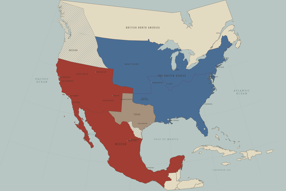
1840
A CONTINENT OF RIVAL CLAIMS
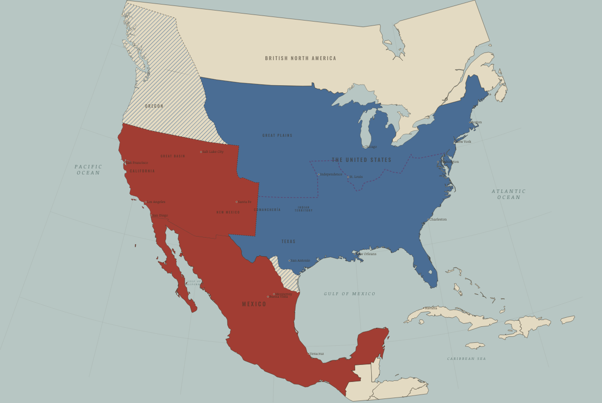
December 1845
TEXAS ANNEXED
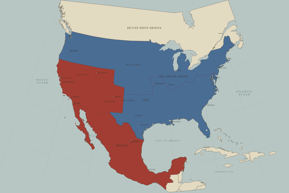
June 1846
WAR WITH MEXICO; OREGON DIVIDED
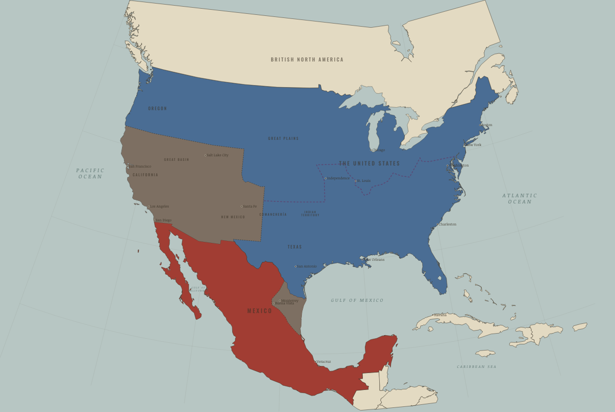
December 1846
SANTA FE, CALIFORNIA, MONTERREY
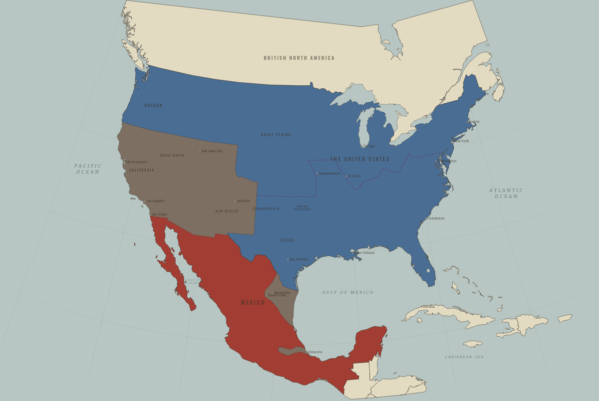
September 1847
MEXICO CITY FALLS
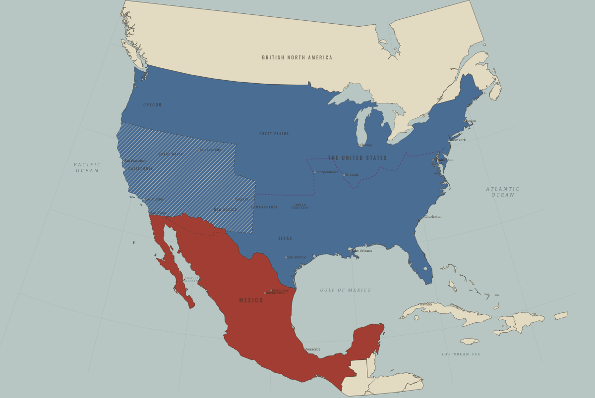
July 1848
THE CESSION — AND THE QUESTION
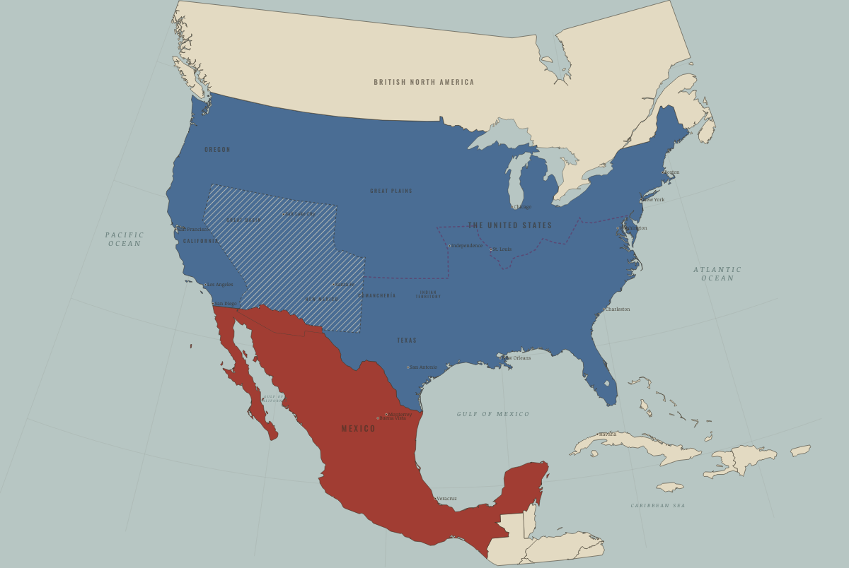
September 1850
THE COMPROMISE OF 1850
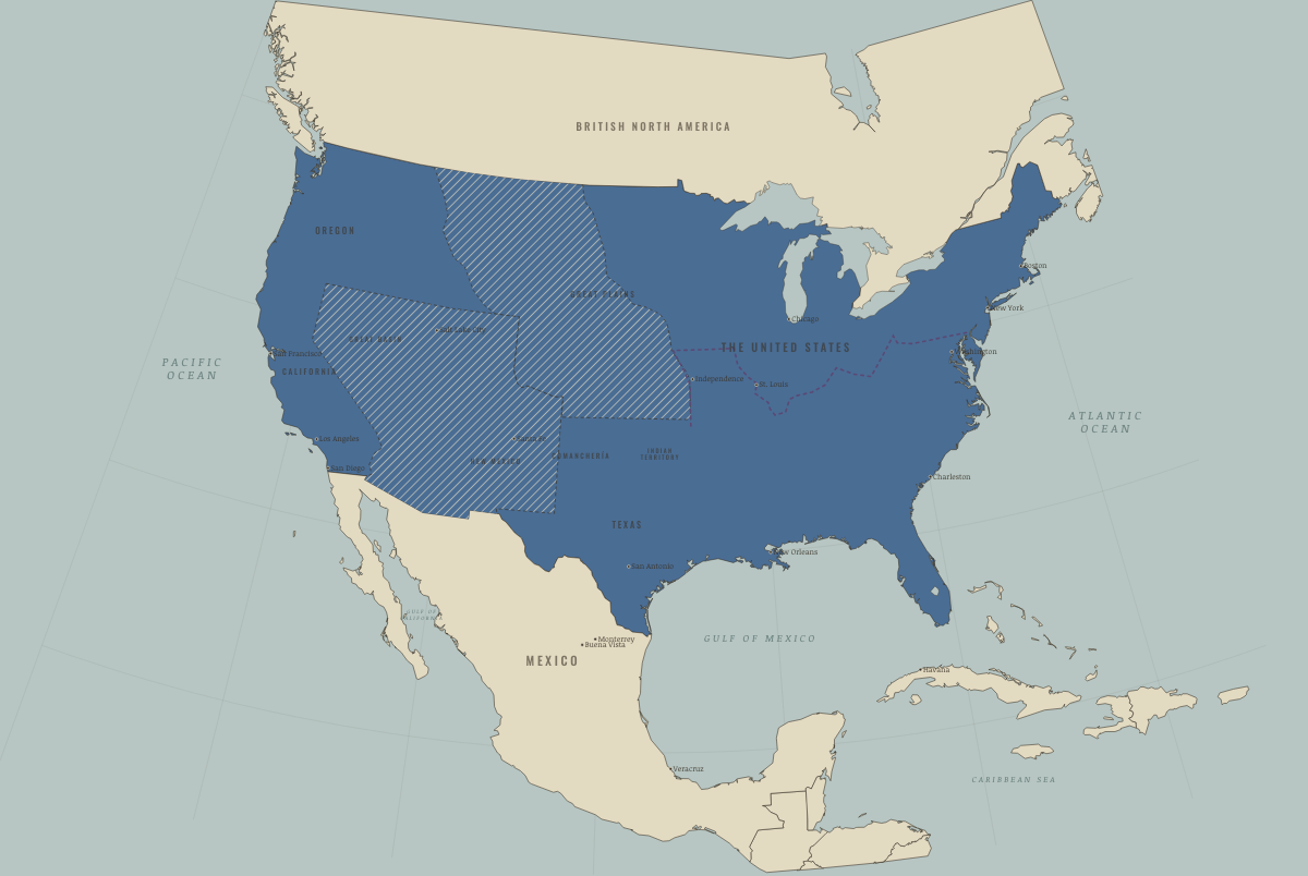
June 1854
GADSDEN AND KANSAS–NEBRASKA
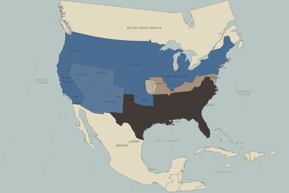
April 1861
SUMTER — THE HOUSE DIVIDES
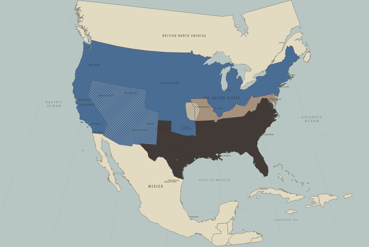
July 1861
BULL RUN — THE LINES FORM
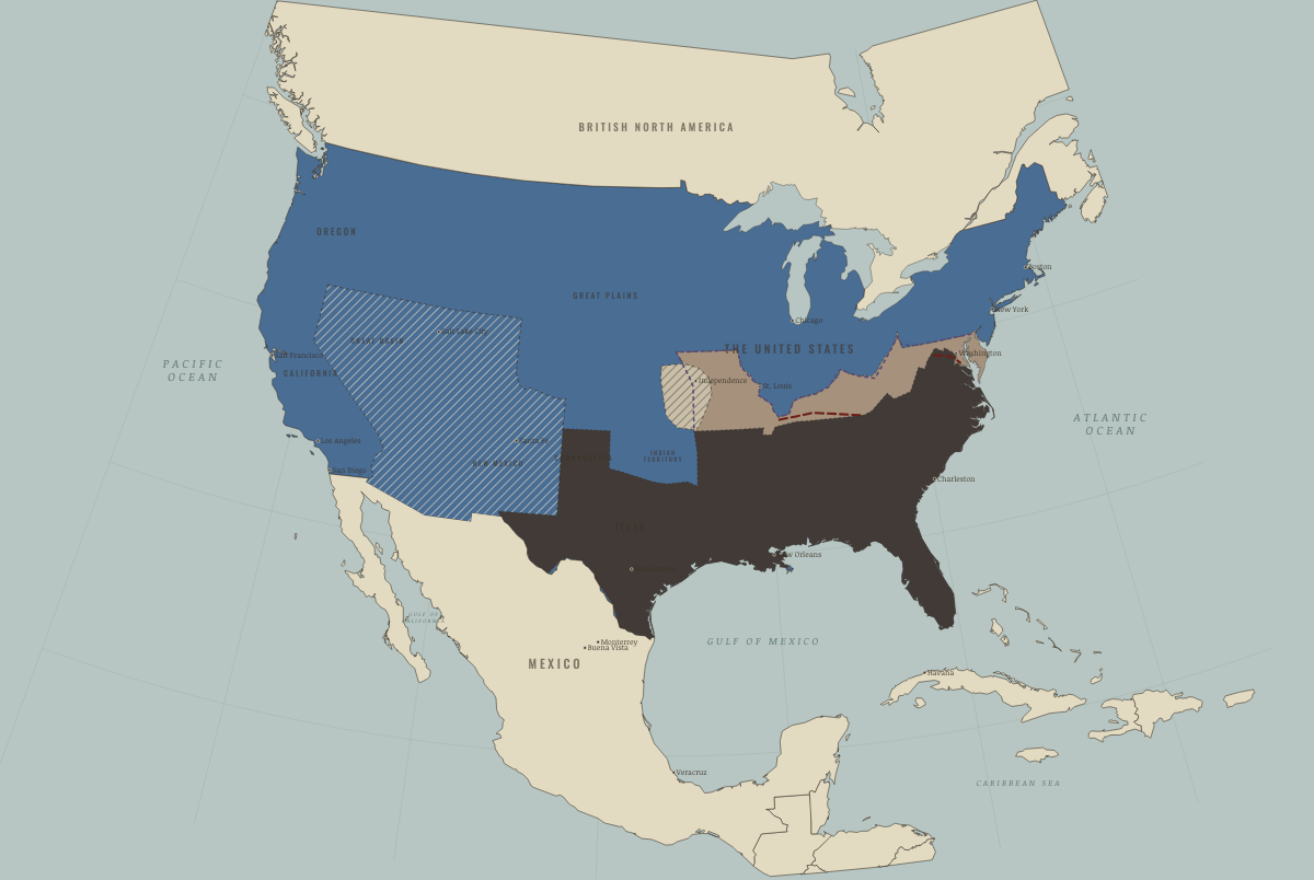
November 1861
THE BLOCKADE BITES — PORT ROYAL
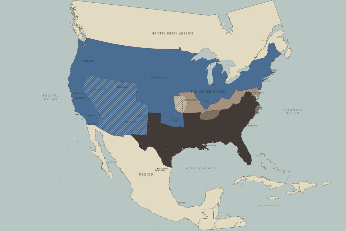
February 1862
THE RIVERS OPEN — HENRY, DONELSON, NASHVILLE
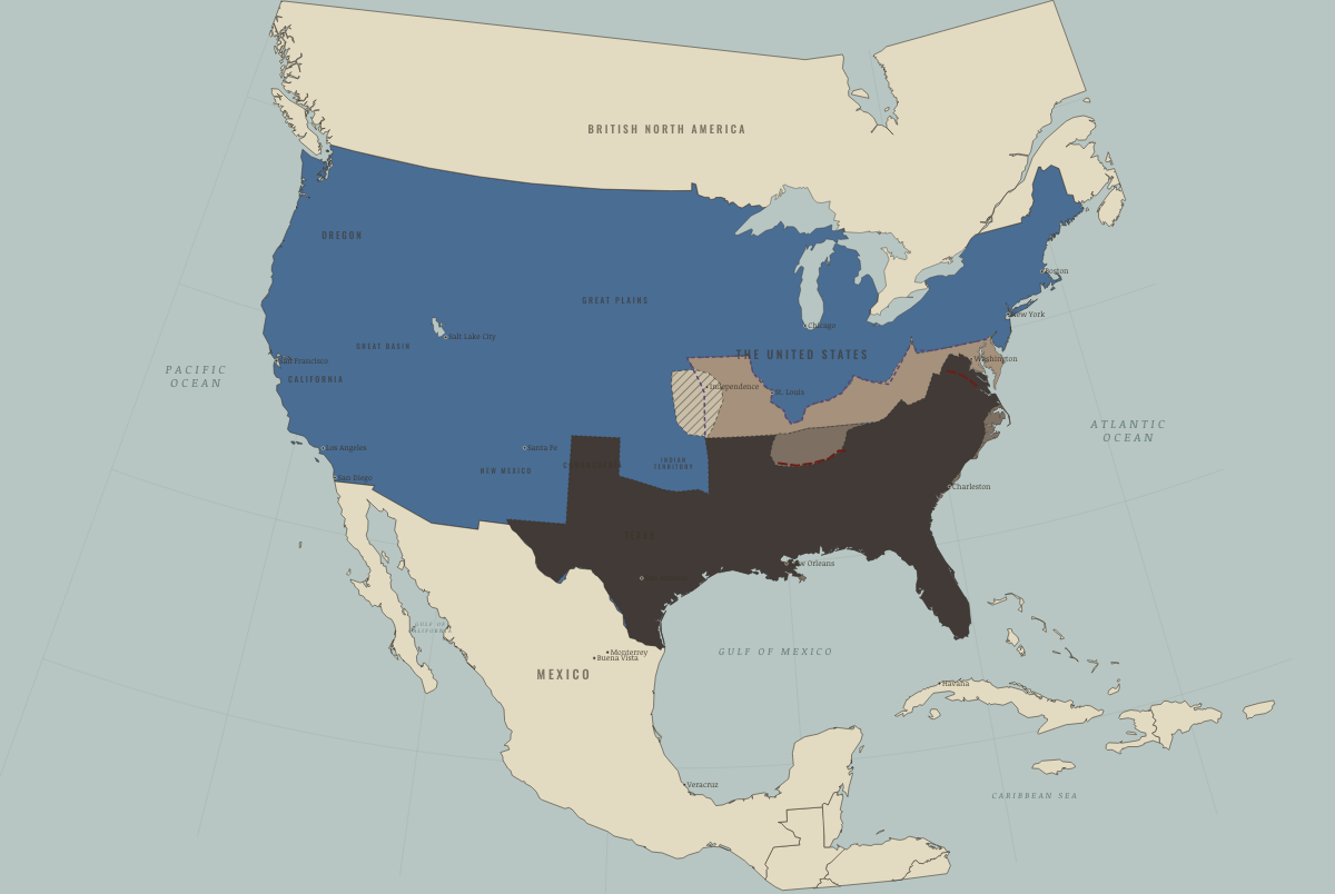
June 1862
NEW ORLEANS AND MEMPHIS FALL
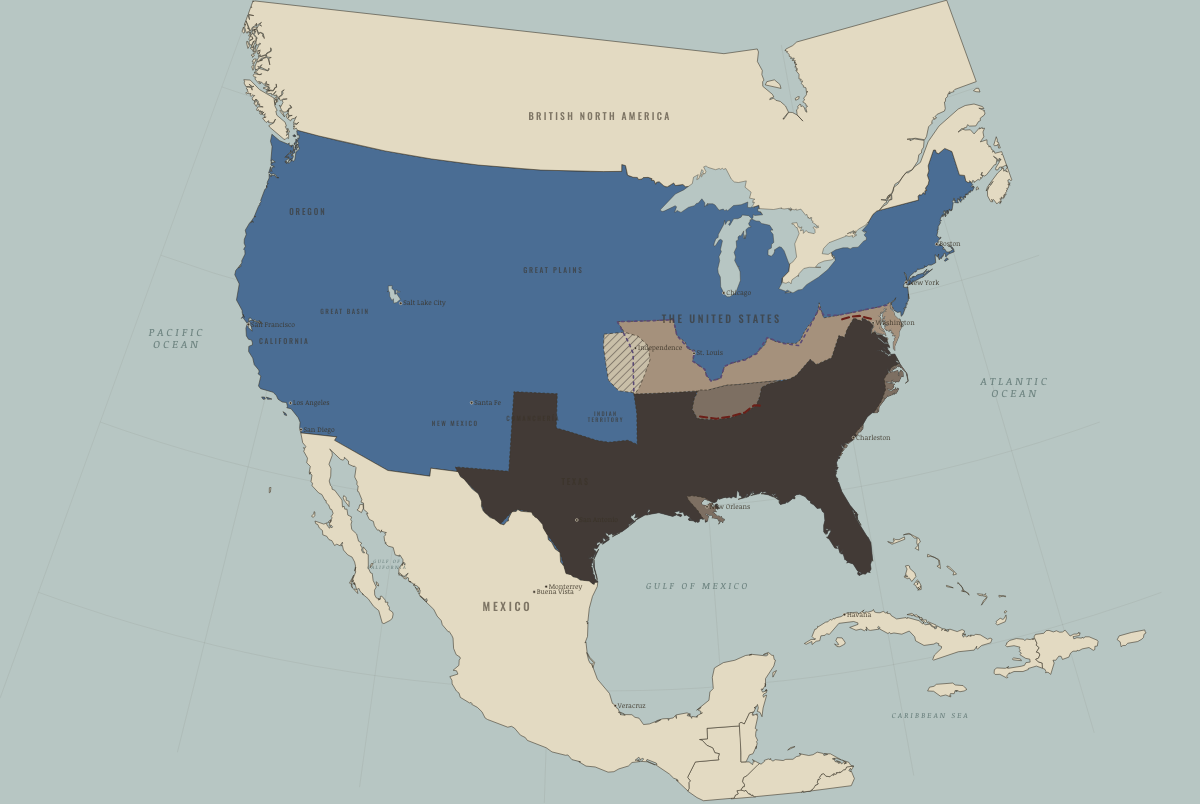
September 1862
ANTIETAM — THE HIGH-WATER MARK
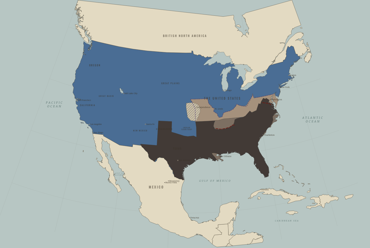
January 1863
EMANCIPATION
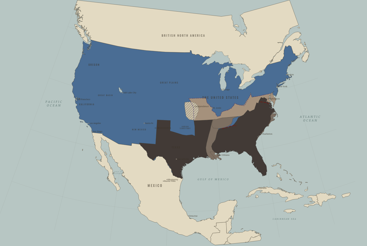
July 1863
THE TWIN BLOW — GETTYSBURG AND VICKSBURG
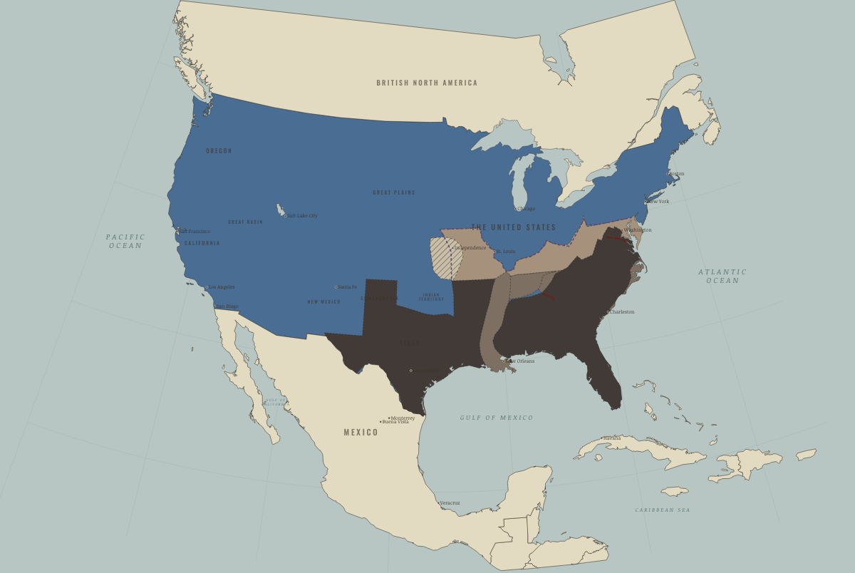
November 1863
CHATTANOOGA — THE GATEWAY
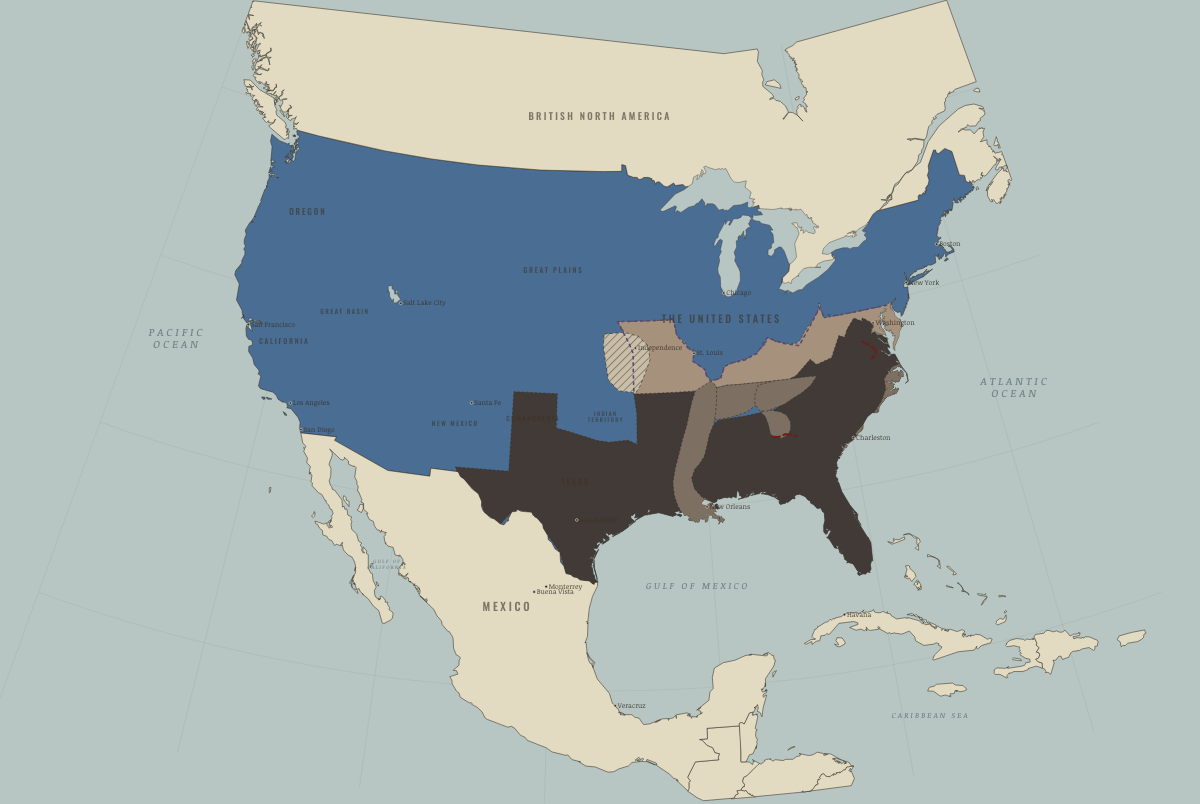
September 1864
ATLANTA FALLS
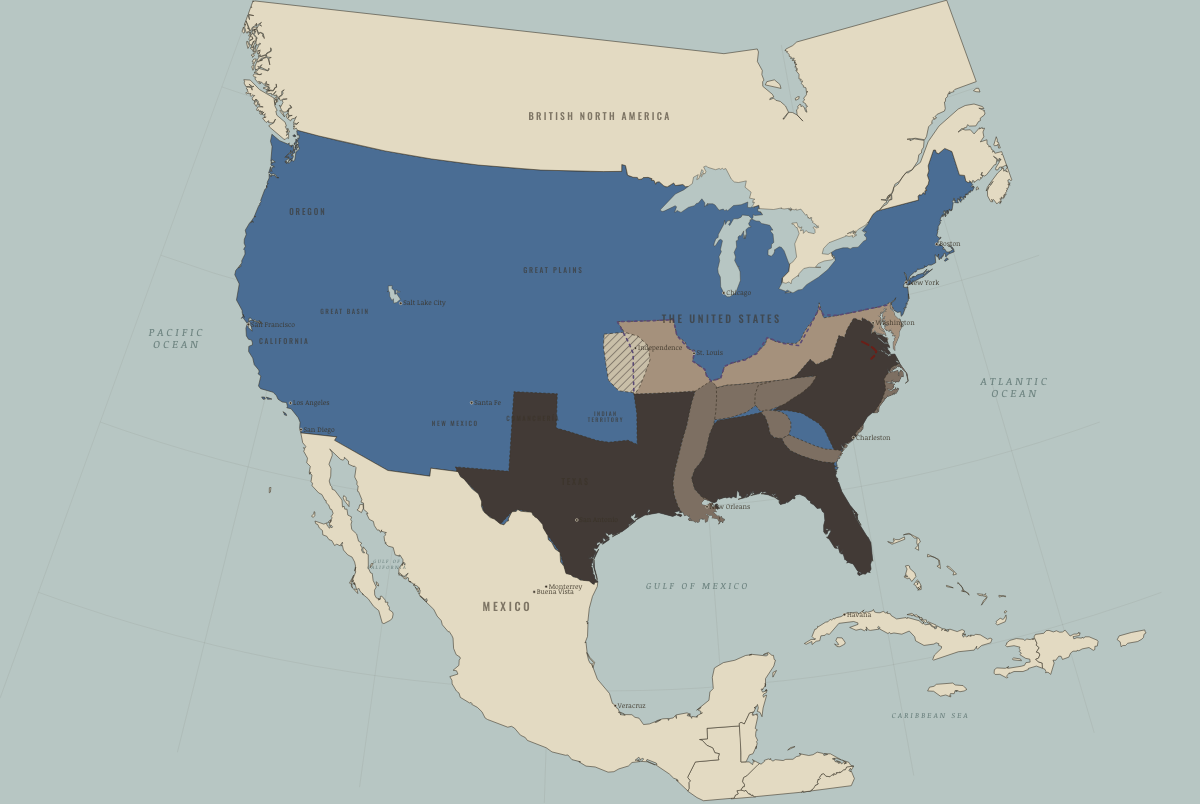
December 1864
THE MARCH TO THE SEA — AND NASHVILLE
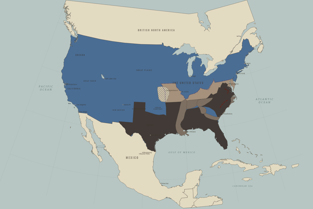
February 1865
SHERMAN IN THE CAROLINAS
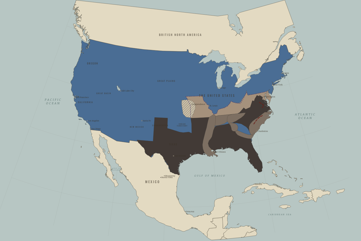
April 1865
PETERSBURG, RICHMOND, APPOMATTOX
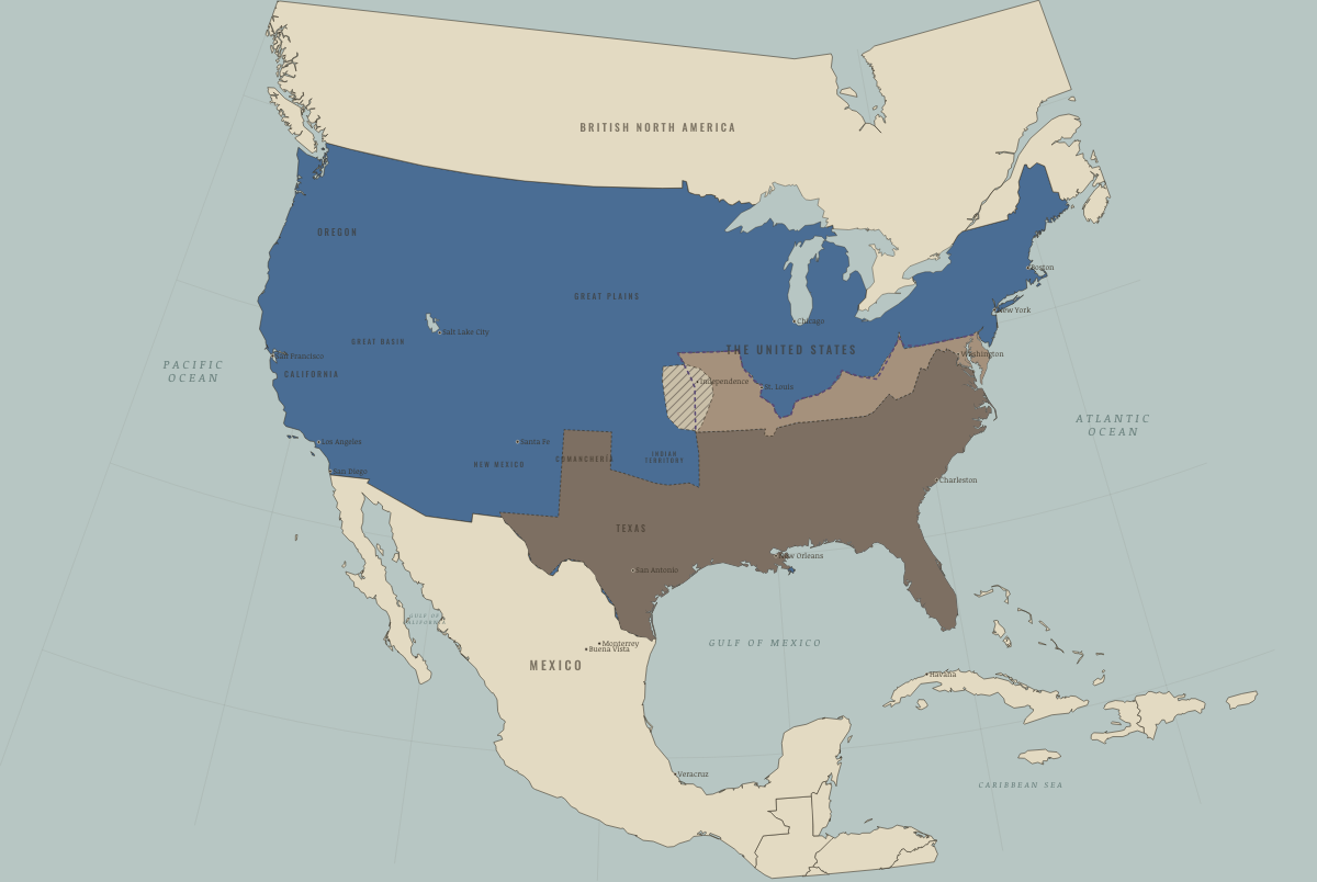
May 1865
THE LAST SURRENDERS
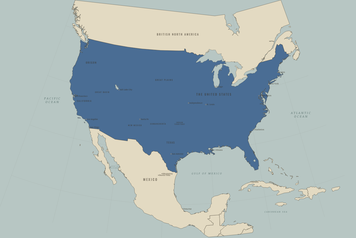
December 1865
THE THIRTEENTH AMENDMENT
The United States
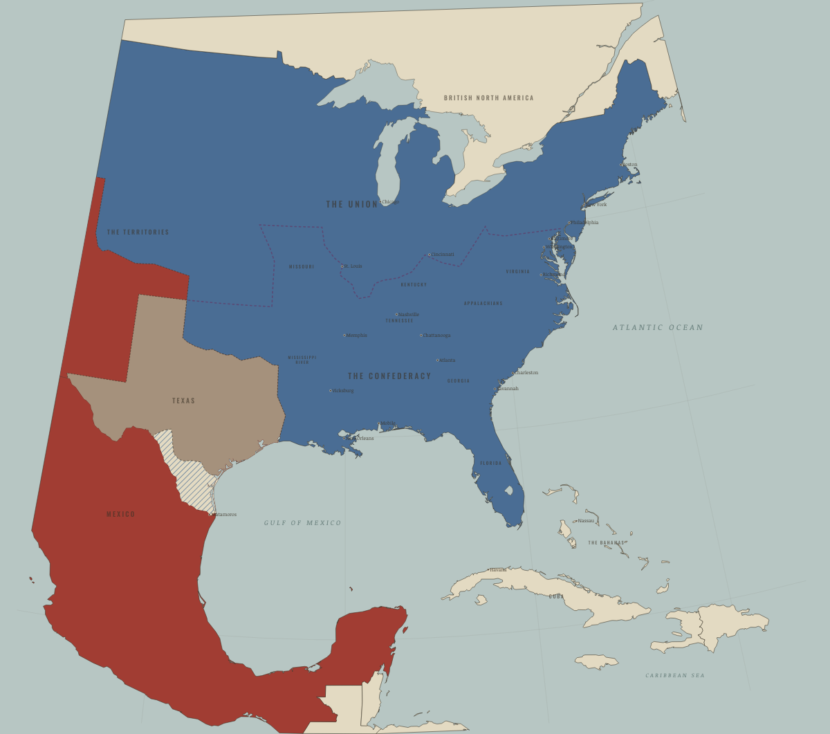
1840
A CONTINENT OF RIVAL CLAIMS
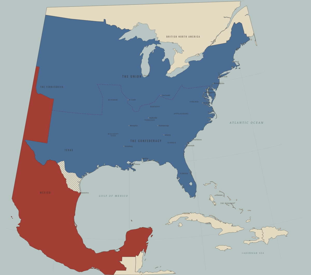
December 1845
TEXAS ANNEXED
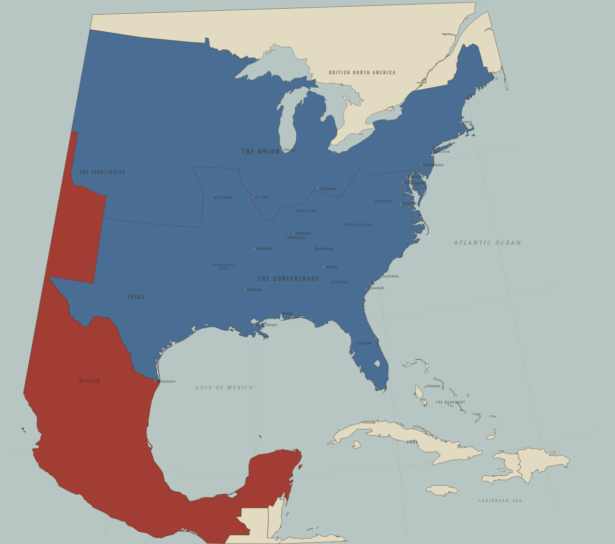
June 1846
WAR WITH MEXICO; OREGON DIVIDED
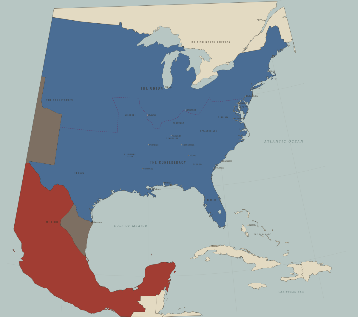
December 1846
SANTA FE, CALIFORNIA, MONTERREY
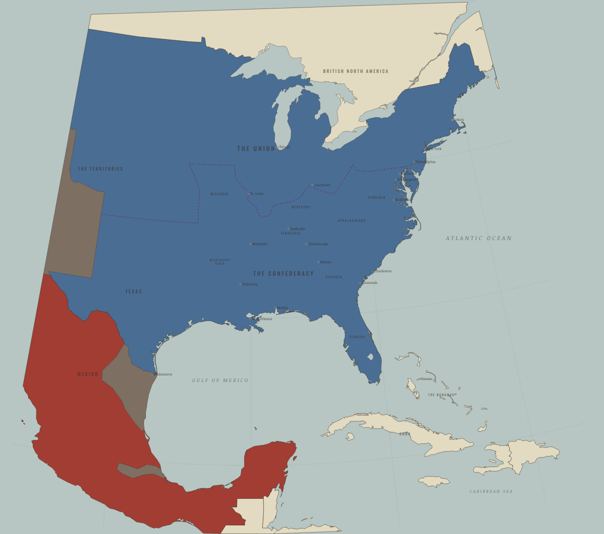
September 1847
MEXICO CITY FALLS
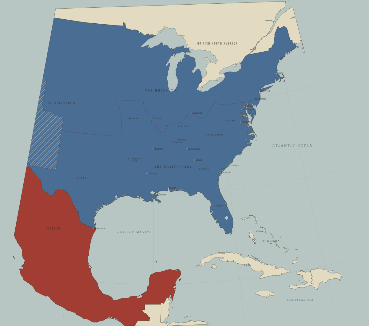
July 1848
THE CESSION — AND THE QUESTION
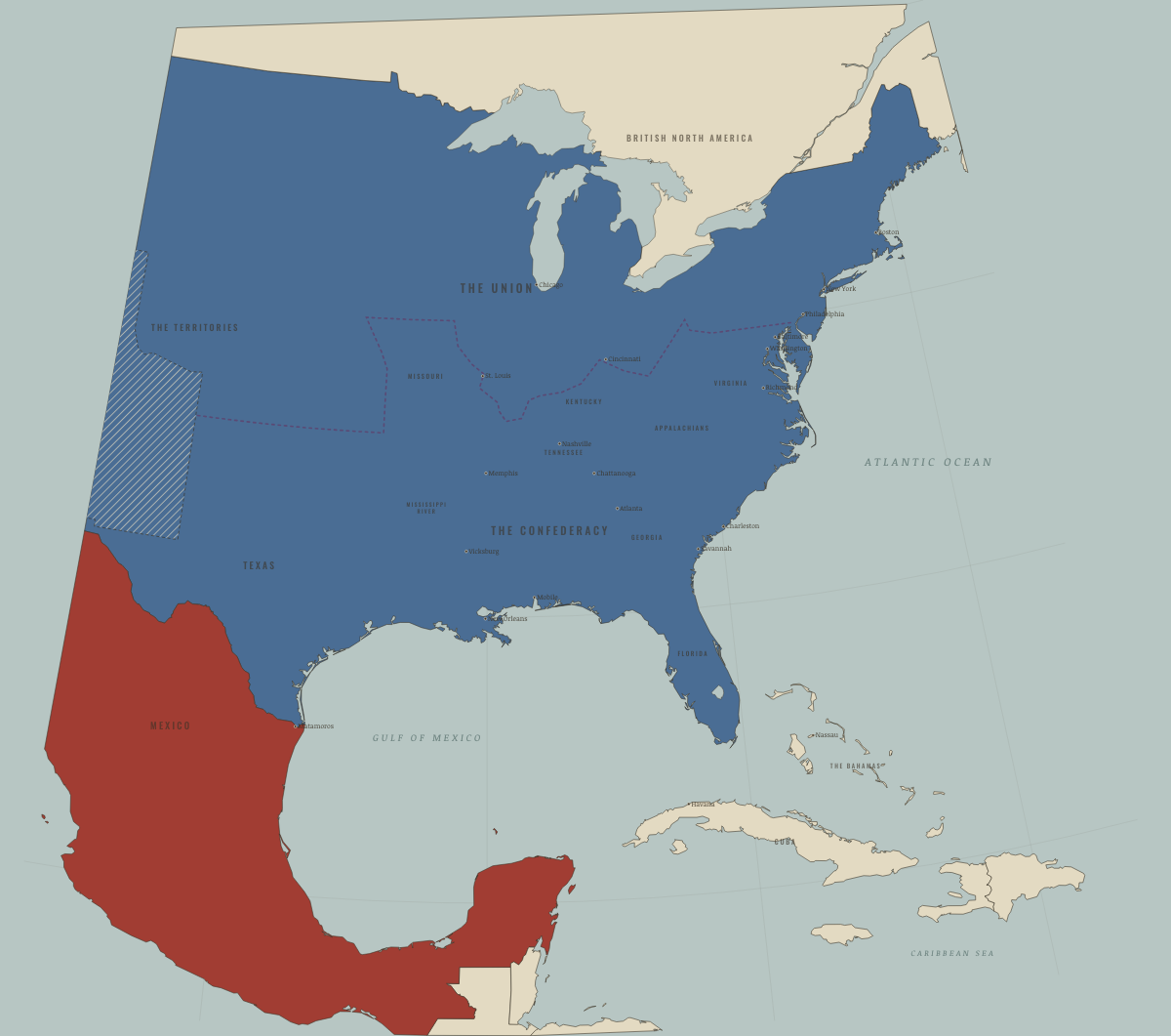
September 1850
THE COMPROMISE OF 1850
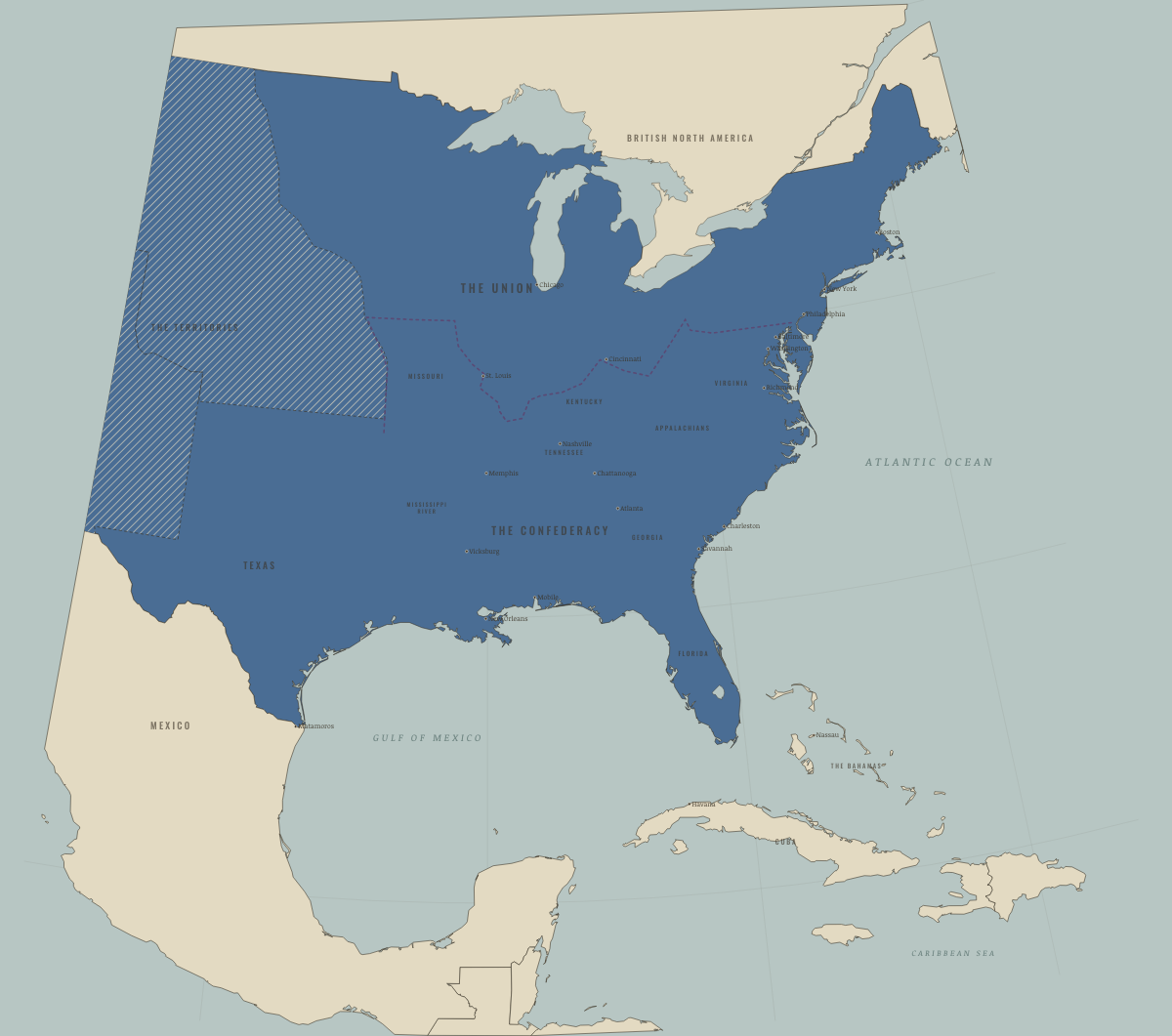
June 1854
GADSDEN AND KANSAS–NEBRASKA

April 1861
SUMTER — THE HOUSE DIVIDES

July 1861
BULL RUN — THE LINES FORM

November 1861
THE BLOCKADE BITES — PORT ROYAL

February 1862
THE RIVERS OPEN — HENRY, DONELSON, NASHVILLE

June 1862
NEW ORLEANS AND MEMPHIS FALL

September 1862
ANTIETAM — THE HIGH-WATER MARK

January 1863
EMANCIPATION

July 1863
THE TWIN BLOW — GETTYSBURG AND VICKSBURG

November 1863
CHATTANOOGA — THE GATEWAY

September 1864
ATLANTA FALLS

December 1864
THE MARCH TO THE SEA — AND NASHVILLE

February 1865
SHERMAN IN THE CAROLINAS

April 1865
PETERSBURG, RICHMOND, APPOMATTOX

May 1865
THE LAST SURRENDERS

December 1865
THE THIRTEENTH AMENDMENT
Historical maps from every atlas, by year →
THE FREE PRINTABLE STUDY GUIDE
Join the Dispatch — a short welcome series, then a letter when a new atlas opens — and the printable study guide for The American Civil War is yours now, free.
NO TRACKING · YOUR ADDRESS IS USED FOR THE DISPATCH AND NOTHING ELSE · UNSUBSCRIBE ANYTIME