Norse and Aztecs · TURNING POINT ·
Hedeby (800–1066)
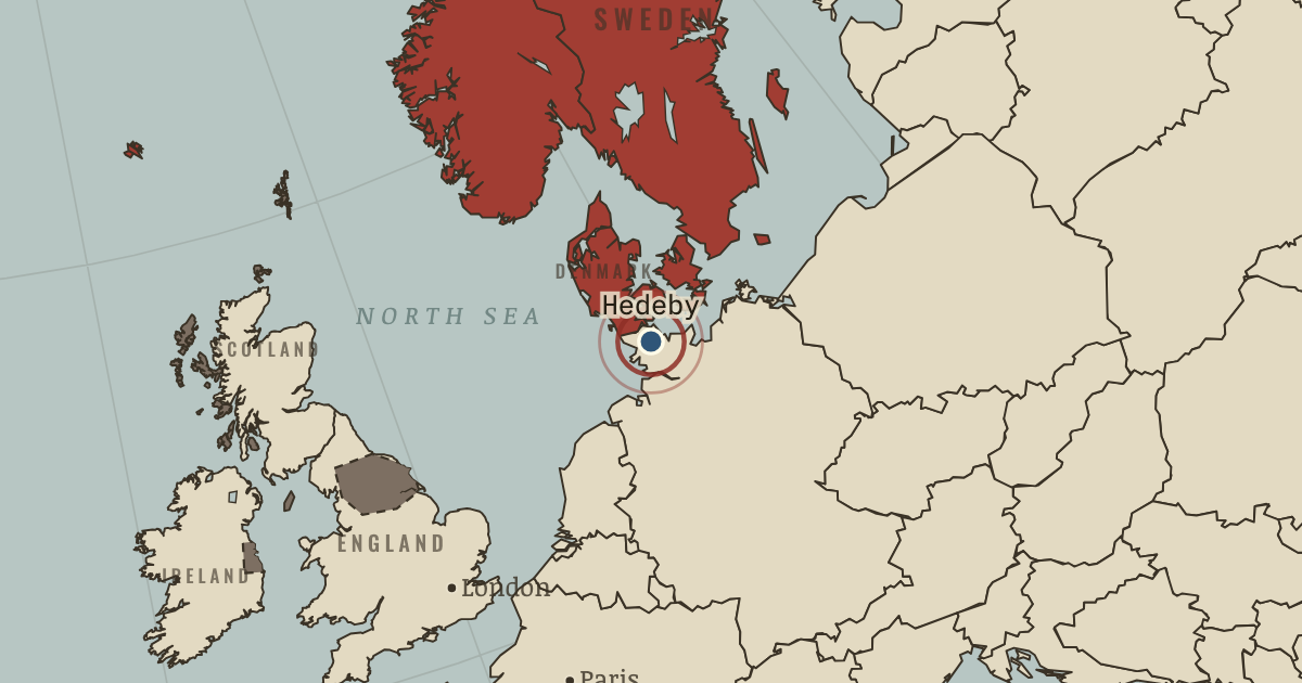
c. 800–1066 — The great trading town of the Danes at the base of the Jutland peninsula, where Baltic and North Sea routes met. Islamic silver, slaves, furs and glass passed through it, and its earthen ramparts still stand. It was destroyed in the wars of the mid-eleventh century.
- When
- Type
- Turning point
- Chapter
- Viking expansion and the longship (chapter 2 of Norse and Aztecs)
- Atlas
- Climate and Innovation: The Norse and the Aztecs, c. 790–1521
WW2 is free — every chapter. Try chapters 1–2 of any 2 other atlases (3 with a free account). Opening a new atlas uses one of them. Membership opens all 21 — Join.
Free printable Norse and Aztecs study guide, sent by email ↓
In the same chapter
Related
THE FREE PRINTABLE STUDY GUIDE
Join the Dispatch — a short welcome series, then a letter when a new atlas opens — and the printable study guide for Climate and Innovation is yours now, free.
NO TRACKING · YOUR ADDRESS IS USED FOR THE DISPATCH AND NOTHING ELSE · UNSUBSCRIBE ANYTIME