Haiti and Kenya independence · TURNING POINT ·
British withdrawal from Saint-Domingue (1798)
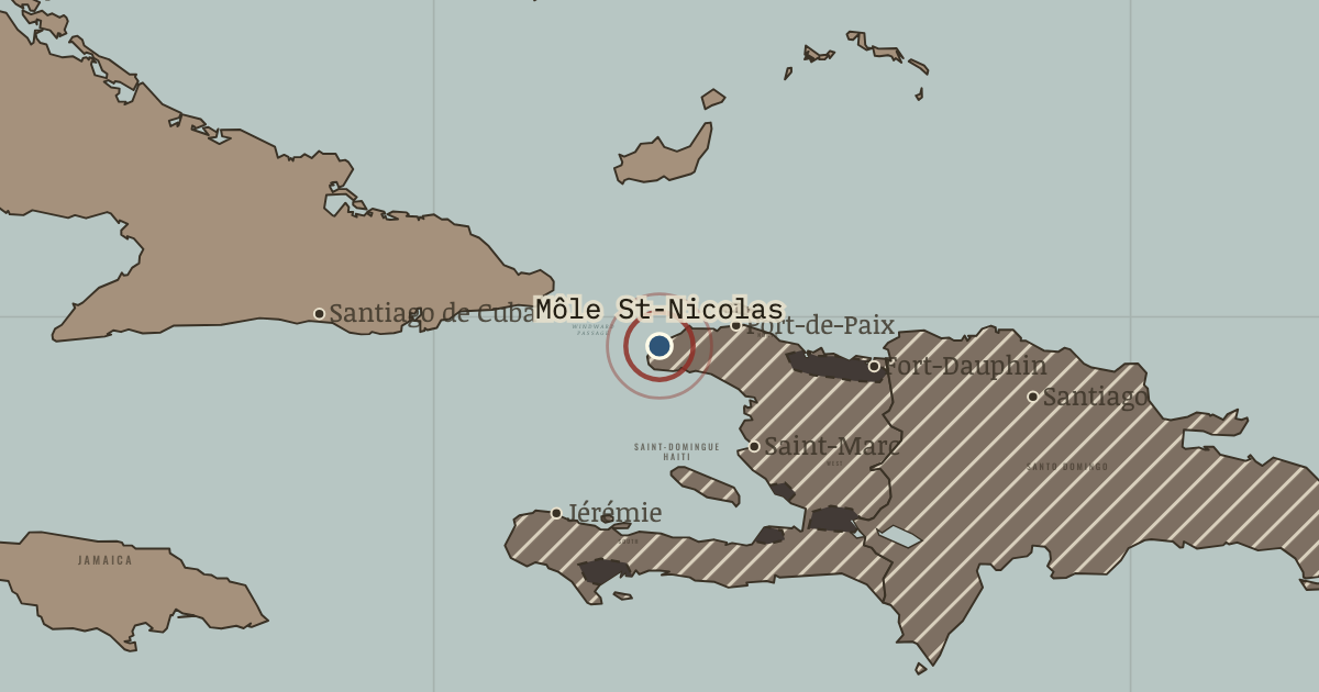
On the Haiti and Kenya independence map as “Môle Saint-Nicolas”
Oct 1798 — The last British garrison sails away from this fortified harbour after five years in which more than half of some 20,000 British soldiers died, most of them of yellow fever. Toussaint has bargained Britain out of the colony.
- When
- Type
- Turning point
- Chapter
- Toussaint Louverture (chapter 3 of Haiti and Kenya independence)
- Atlas
- Two Roads to Independence: Haiti 1789–1838 and Kenya 1895–1978
Chapter 3 is part of membership. WW2 is free — every chapter. Try chapters 1–2 of any 2 other atlases (3 with a free account). Opening a new atlas uses one of them. Membership opens all 21 — Join.
Free printable Haiti and Kenya independence study guide, sent by email ↓
In the same chapter
Related
THE FREE PRINTABLE STUDY GUIDE
Join the Dispatch — a short welcome series, then a letter when a new atlas opens — and the printable study guide for Two Roads to Independence is yours now, free.
NO TRACKING · YOUR ADDRESS IS USED FOR THE DISPATCH AND NOTHING ELSE · UNSUBSCRIBE ANYTIME