Haiti and Kenya independence · TURNING POINT ·
Cap-Français (1789–1803)
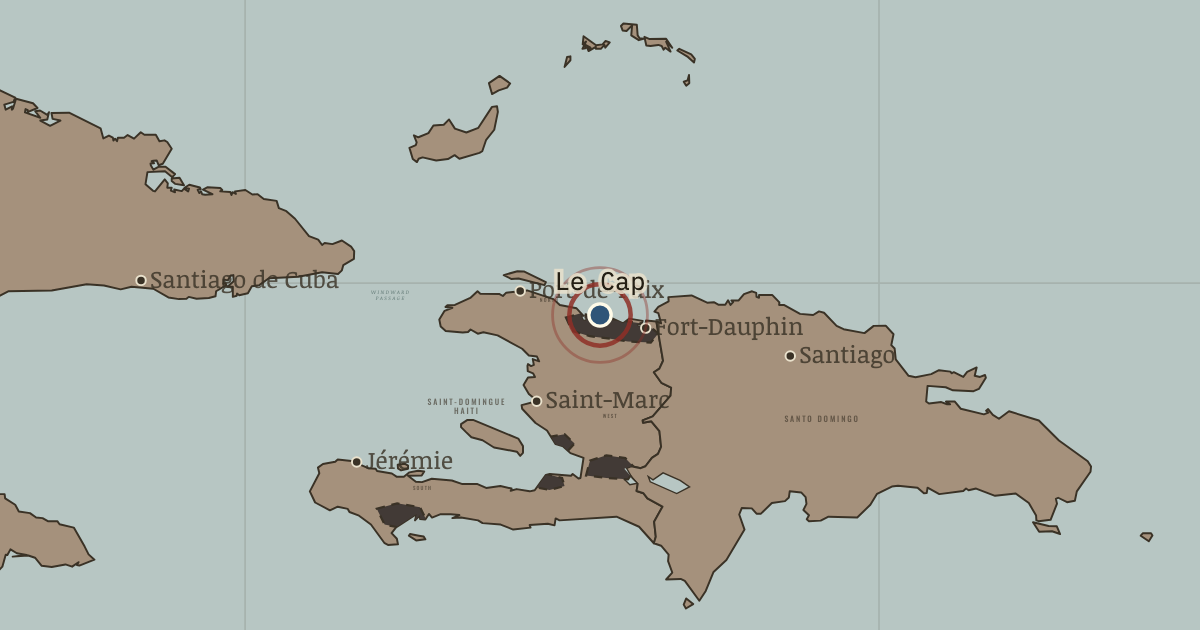
1789–1803 — The colony’s great port, called the Paris of the Antilles, and the slave ships’ main landing place. Ogé was executed in its square in 1791, Sonthonax proclaimed emancipation here in 1793 and Toussaint his constitution in 1801; the town burned in 1793 and 1802. It is Cap-Haïtien today.
- When
- Type
- Turning point
- Chapter
- Slavery in colonial Saint-Domingue (chapter 1 of Haiti and Kenya independence)
- Atlas
- Two Roads to Independence: Haiti 1789–1838 and Kenya 1895–1978
- Also in
- Age of Revolutions
WW2 is free — every chapter. Try chapters 1–2 of any 2 other atlases (3 with a free account). Opening a new atlas uses one of them. Membership opens all 21 — Join.
Free printable Haiti and Kenya independence study guide, sent by email ↓
In the same chapter
Related
THE FREE PRINTABLE STUDY GUIDE
Join the Dispatch — a short welcome series, then a letter when a new atlas opens — and the printable study guide for Two Roads to Independence is yours now, free.
NO TRACKING · YOUR ADDRESS IS USED FOR THE DISPATCH AND NOTHING ELSE · UNSUBSCRIBE ANYTIME