Two Roads to Independence: Haiti 1789–1838 and Kenya 1895–1978
Haiti and Kenya independence maps by year
24 historical maps of Two Roads to Independence: Haiti 1789–1838 and Kenya 1895–1978, one for each turning point: who controlled what, and what changed…
Explore every date in the interactive atlas →
WW2 is free — every chapter. Try chapters 1–2 of any 2 other atlases (3 with a free account). Opening a new atlas uses one of them. Membership opens all 21 — Join.
Free printable Haiti and Kenya independence study guide, sent by email ↓
Saint-Domingue
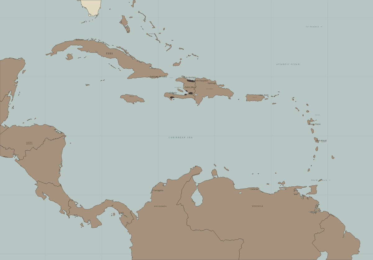
1789
THE RICHEST COLONY ON EARTH
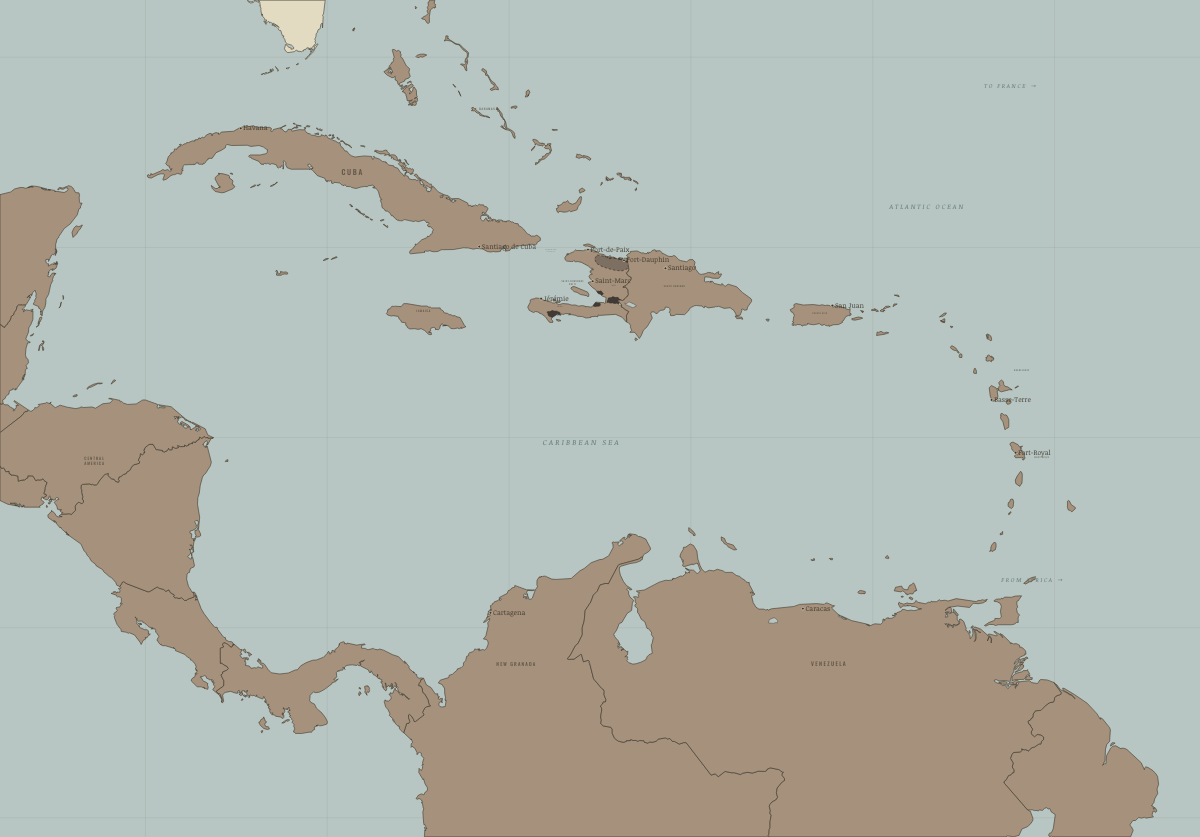
September 1791
THE NORTHERN PLAIN RISES
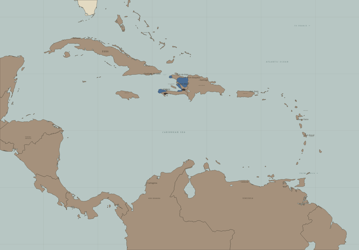
1793–94
SPAIN, BRITAIN AND THE REPUBLIC
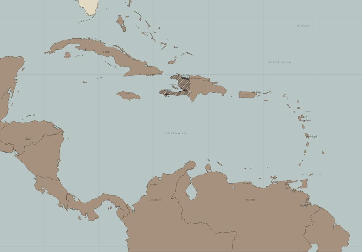
October 1798
THE BRITISH LEAVE; TOUSSAINT COMMANDS
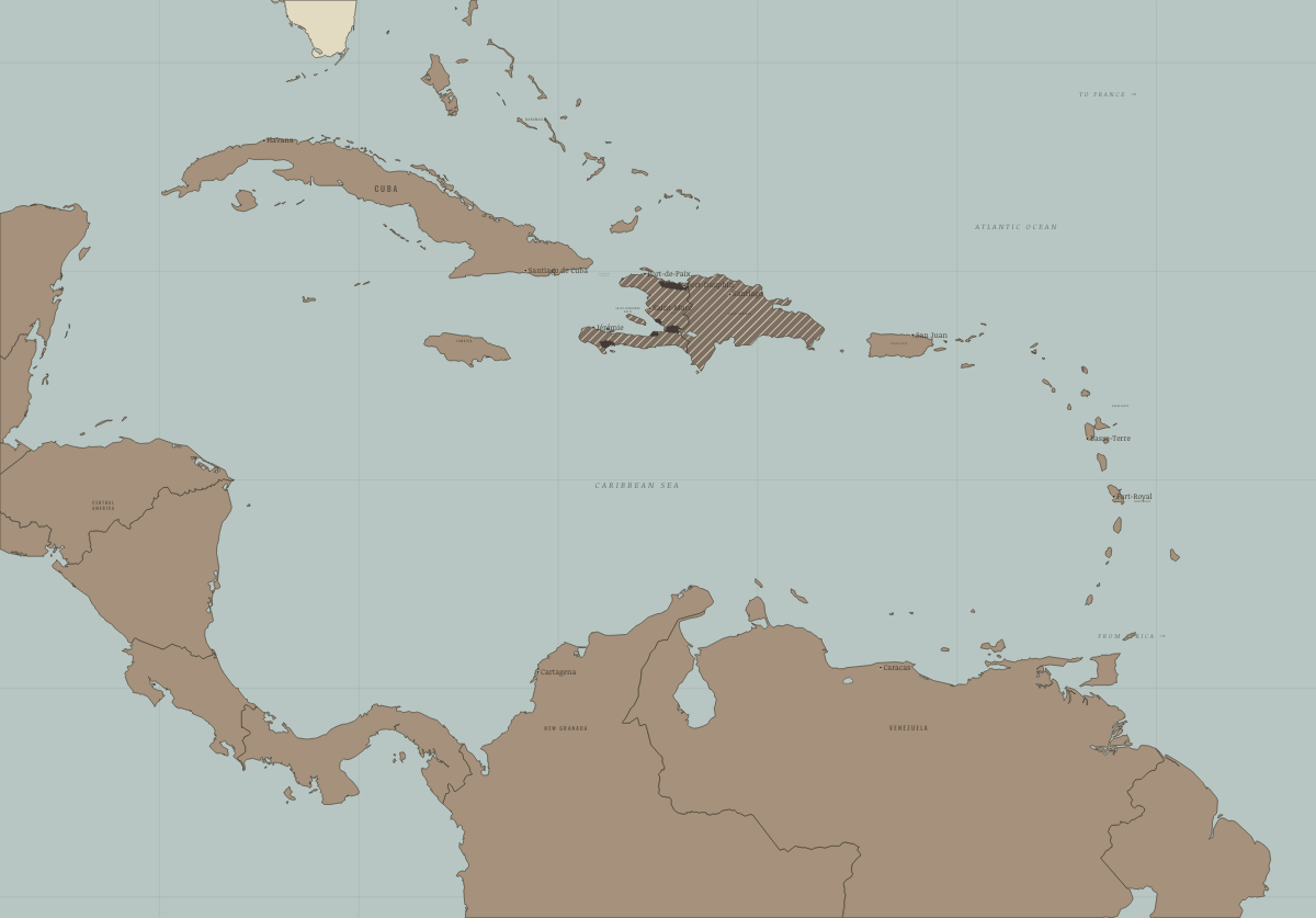
July 1801
TOUSSAINT GOVERNS THE WHOLE ISLAND
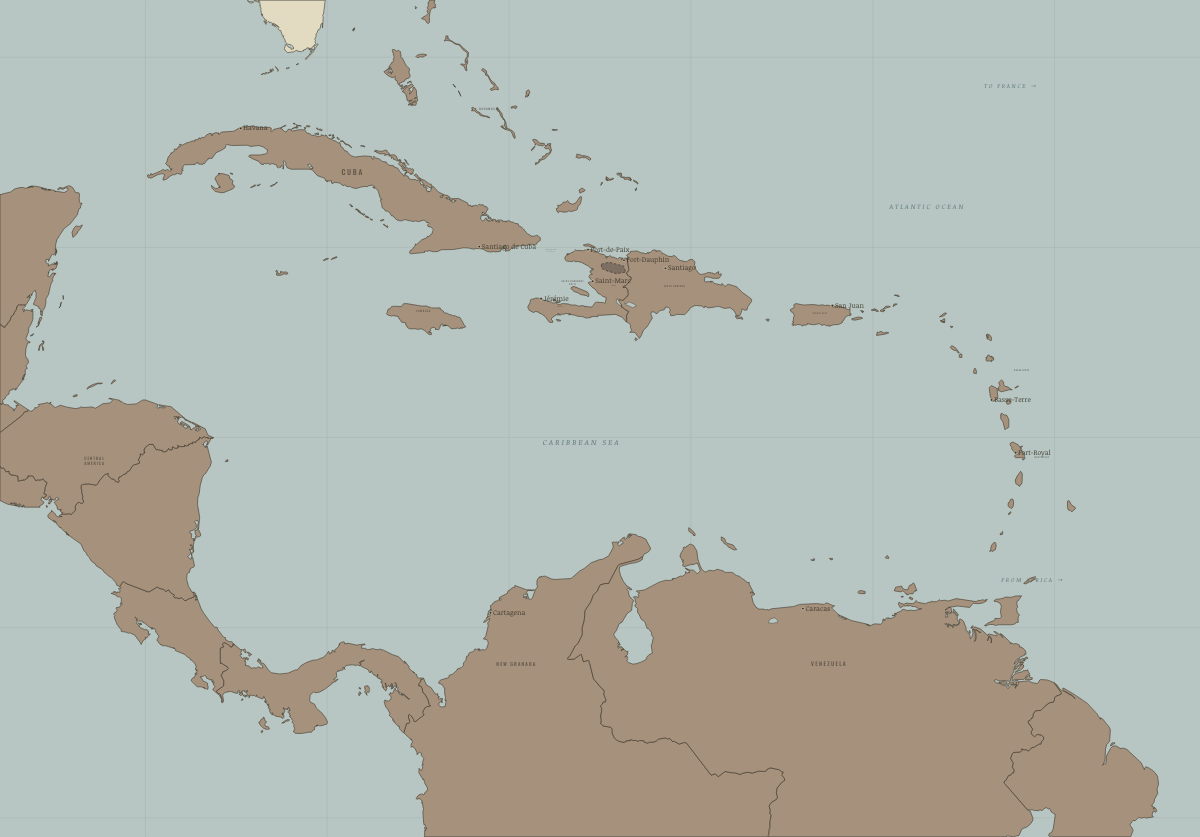
June 1802
LECLERC’S SPRING CAMPAIGN
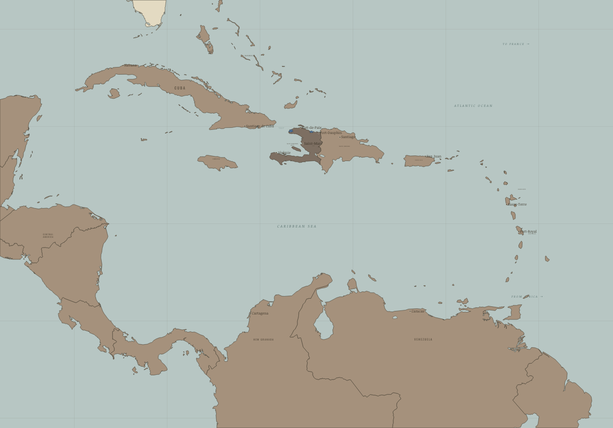
November 1803
VERTIÈRES — FRANCE HOLDS ONLY LE CAP AND THE MÔLE
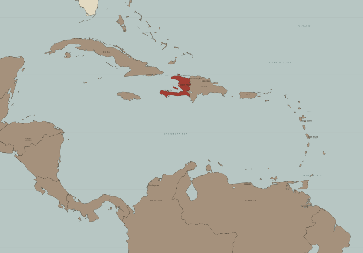
1 January 1804
HAITI
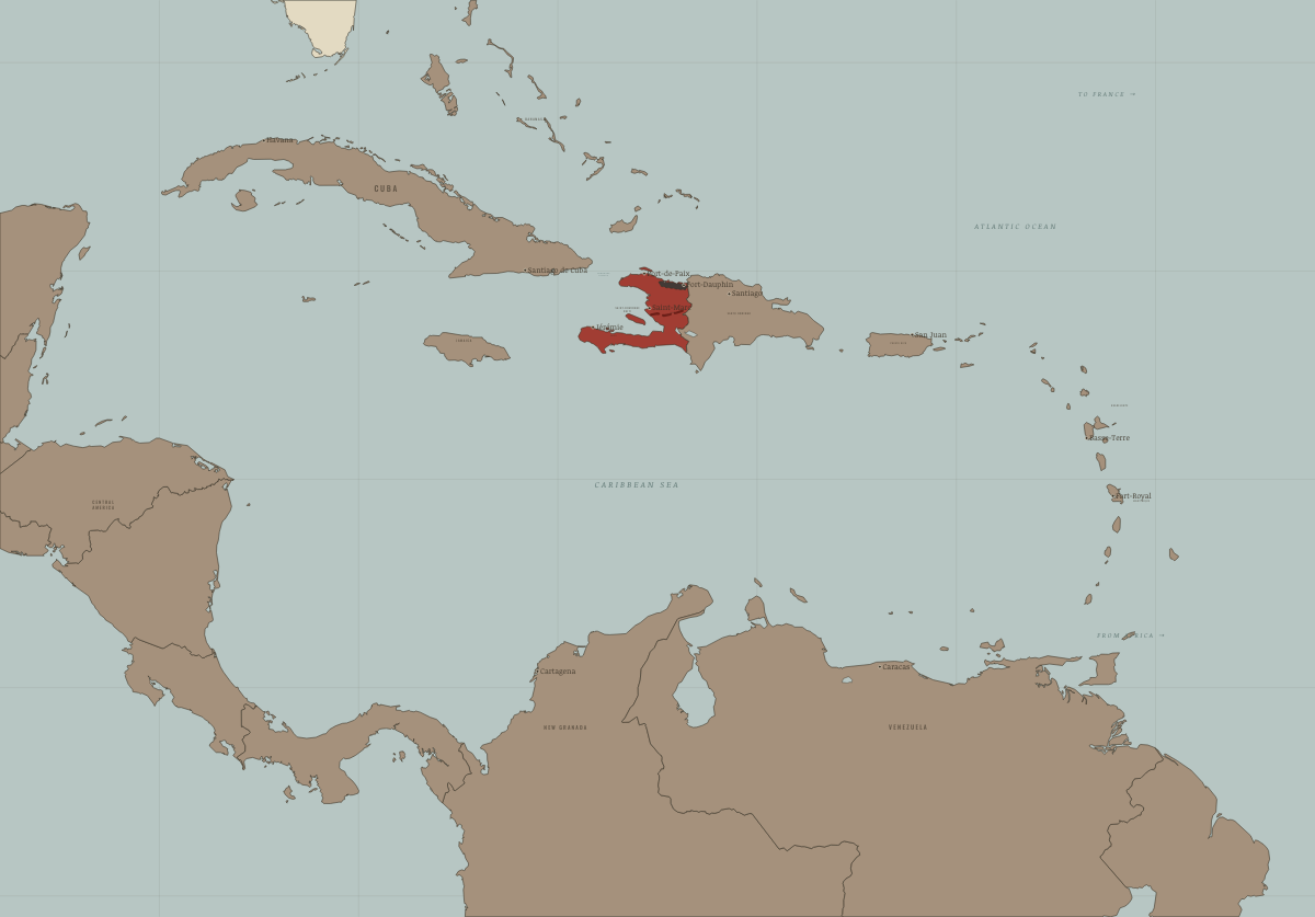
1807–20
TWO HAITIS: CHRISTOPHE’S NORTH, PÉTION’S SOUTH
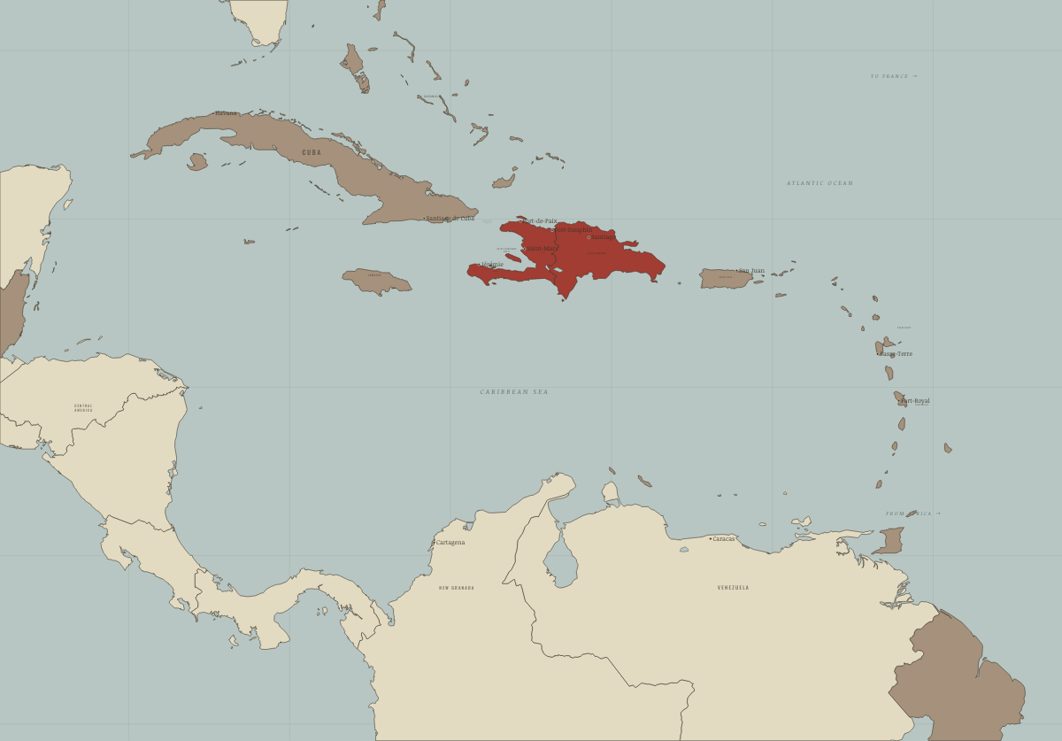
July 1825
ONE ISLAND — AND THE PRICE OF RECOGNITION
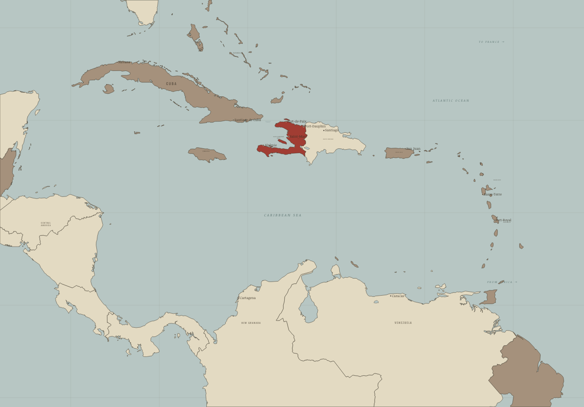
1844
DOMINICAN INDEPENDENCE
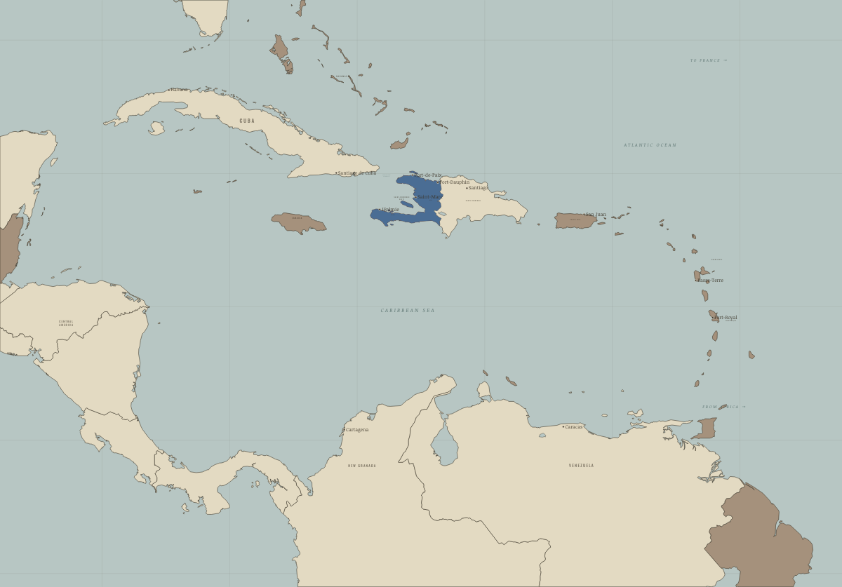
1915–34
THE UNITED STATES OCCUPIES HAITI
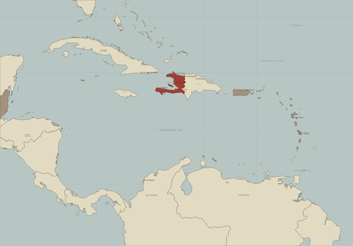
1975
THE CARIBBEAN DECOLONISES
Kenya
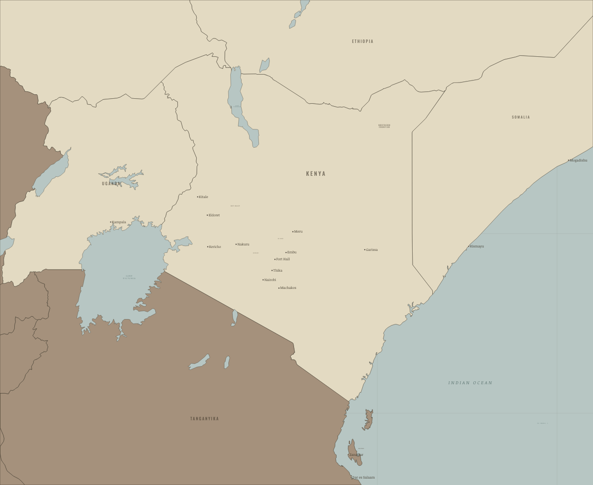
1890
BEFORE THE PROTECTORATE
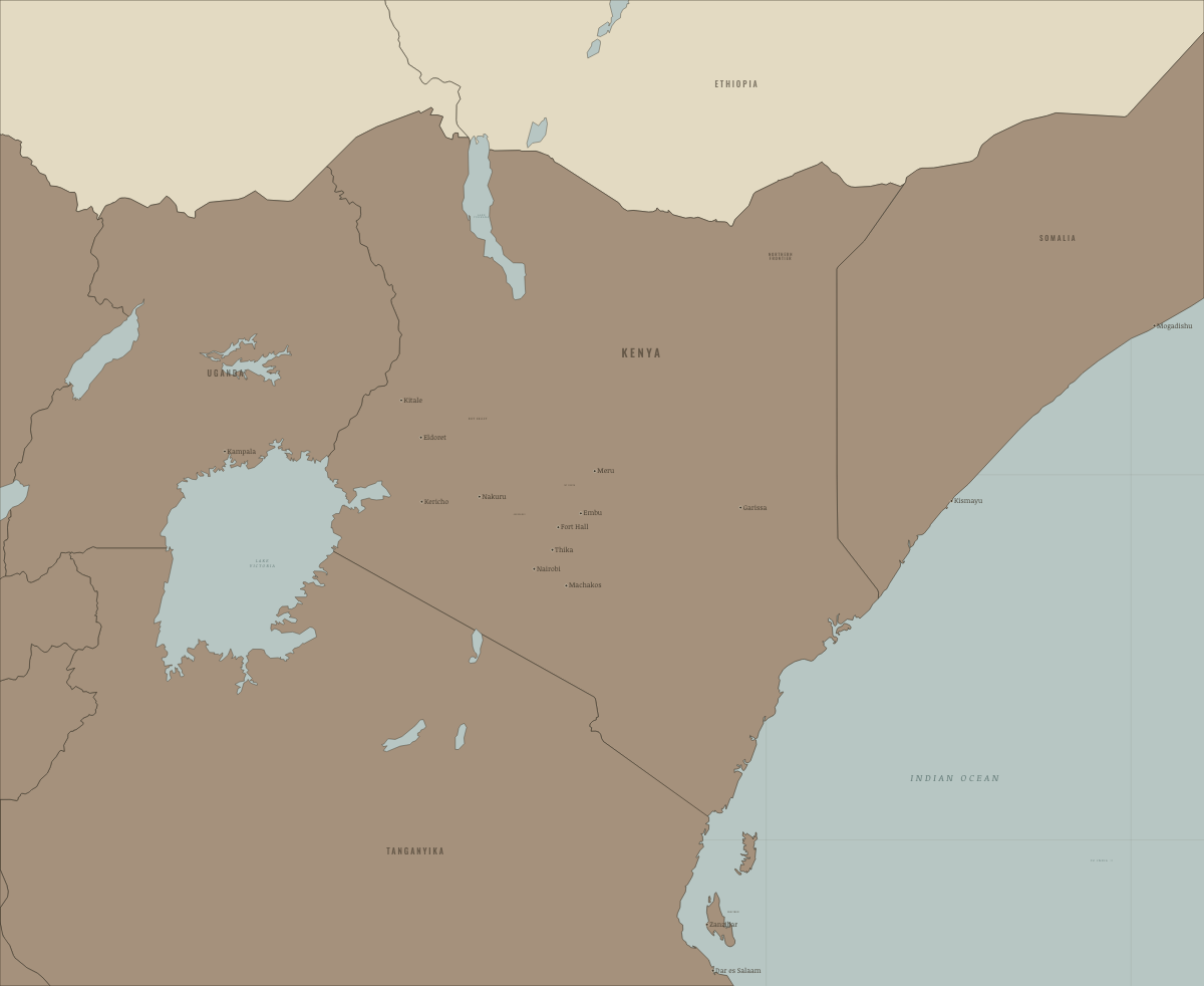
1895
THE EAST AFRICA PROTECTORATE
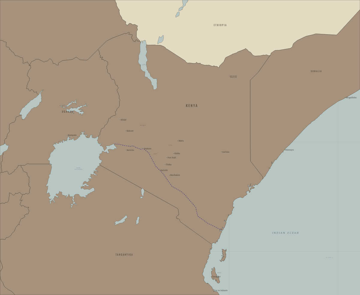
1902
THE RAILWAY REACHES THE LAKE
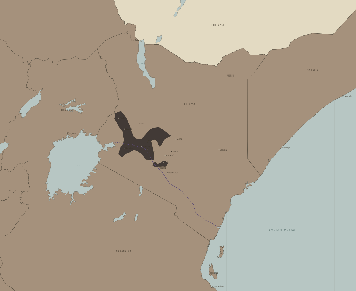
1920
KENYA COLONY AND THE WHITE HIGHLANDS
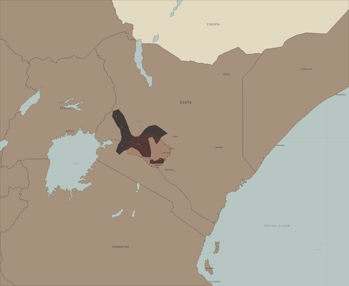
1950–52
THE OATH SPREADS
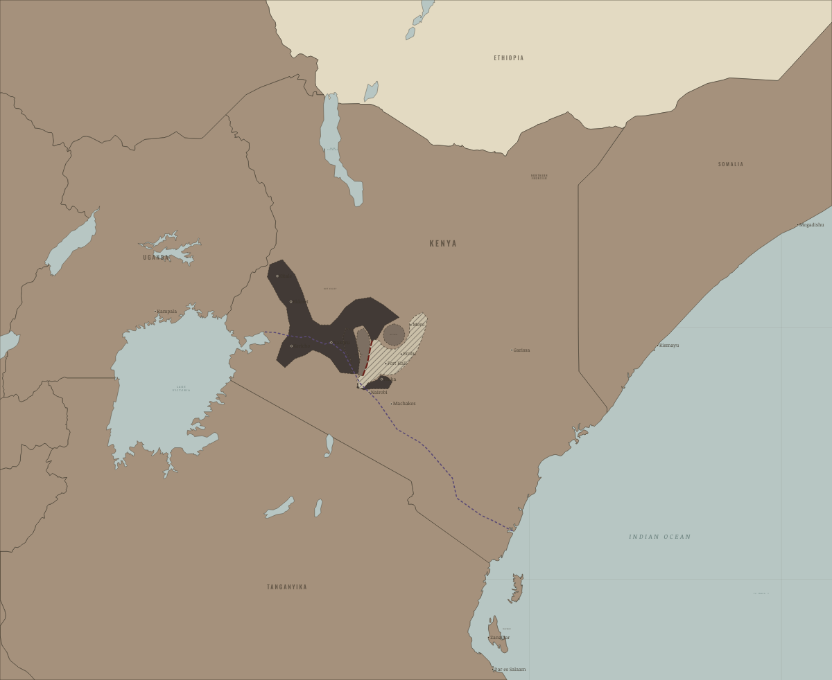
1954
THE EMERGENCY AT ITS HEIGHT
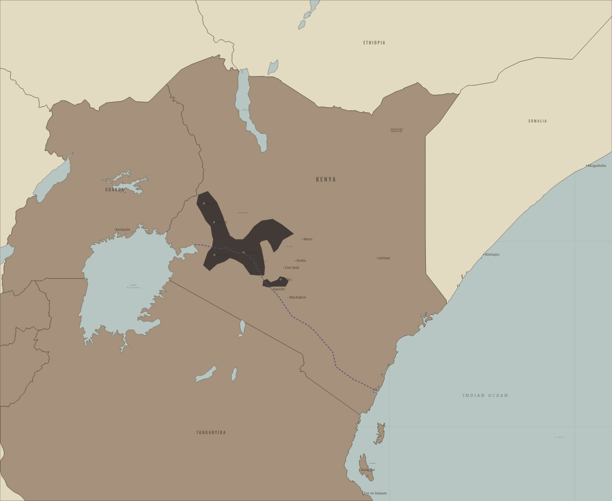
January 1960
THE EMERGENCY ENDS; LANCASTER HOUSE
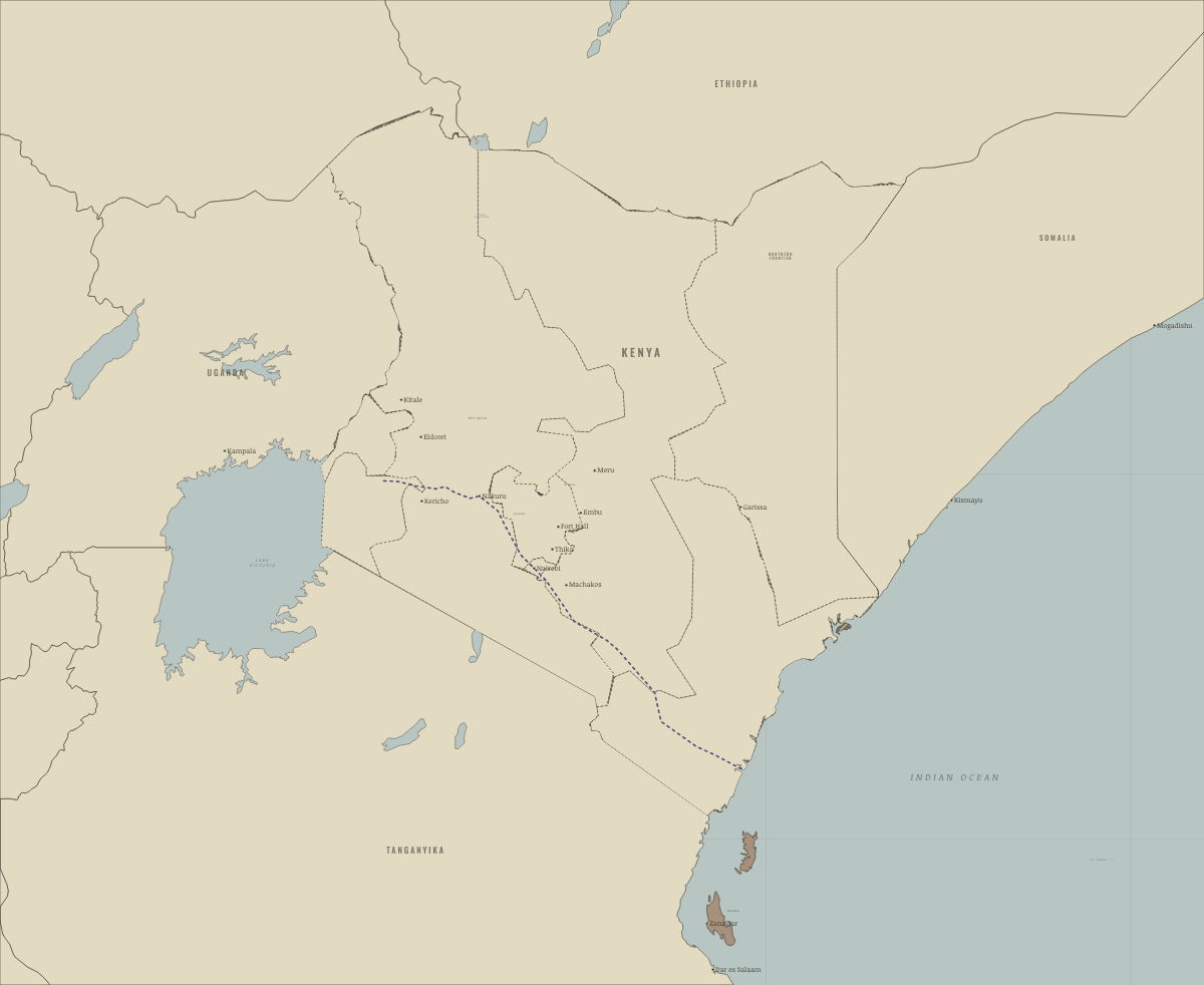
1 June 1963
SELF-GOVERNMENT (MADARAKA)
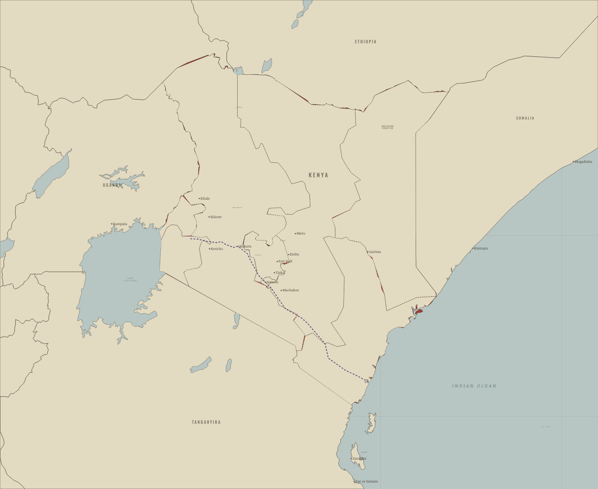
12 December 1963
UHURU — INDEPENDENCE
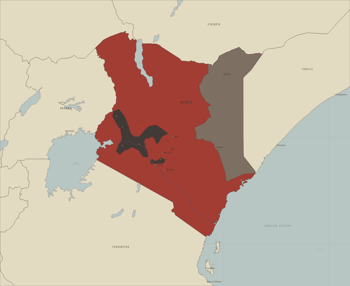
1964–67
THE SHIFTA WAR; THE KINANGOP RESETTLED
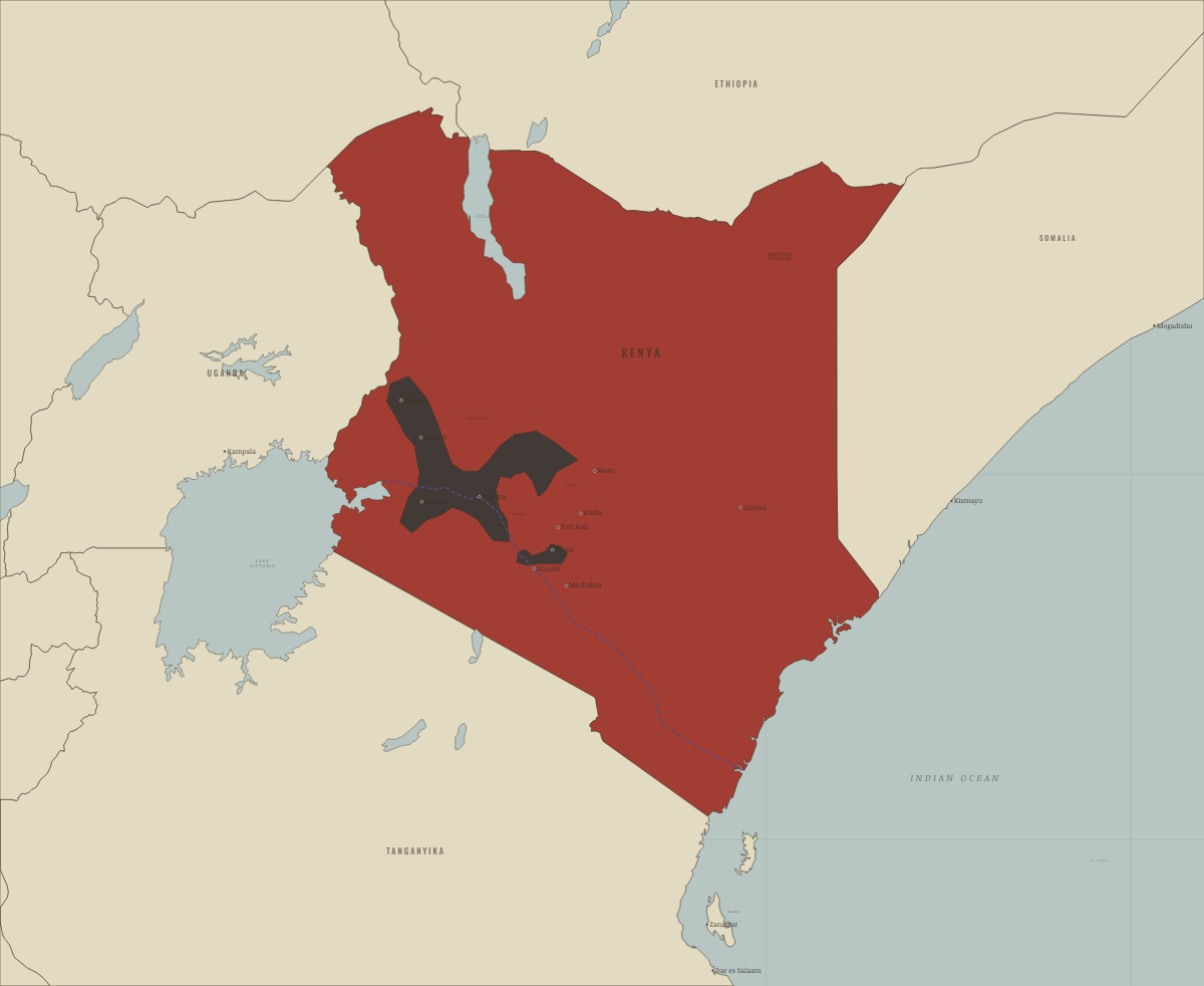
1969
LAND BOUGHT BACK; ONE PARTY RULES
Historical maps from every atlas, by year →
THE FREE PRINTABLE STUDY GUIDE
Join the Dispatch — a short welcome series, then a letter when a new atlas opens — and the printable study guide for Two Roads to Independence is yours now, free.
NO TRACKING · YOUR ADDRESS IS USED FOR THE DISPATCH AND NOTHING ELSE · UNSUBSCRIBE ANYTIME