Two Roads to Independence: Haiti 1789–1838 and Kenya 1895–1978 · THE MAP IN
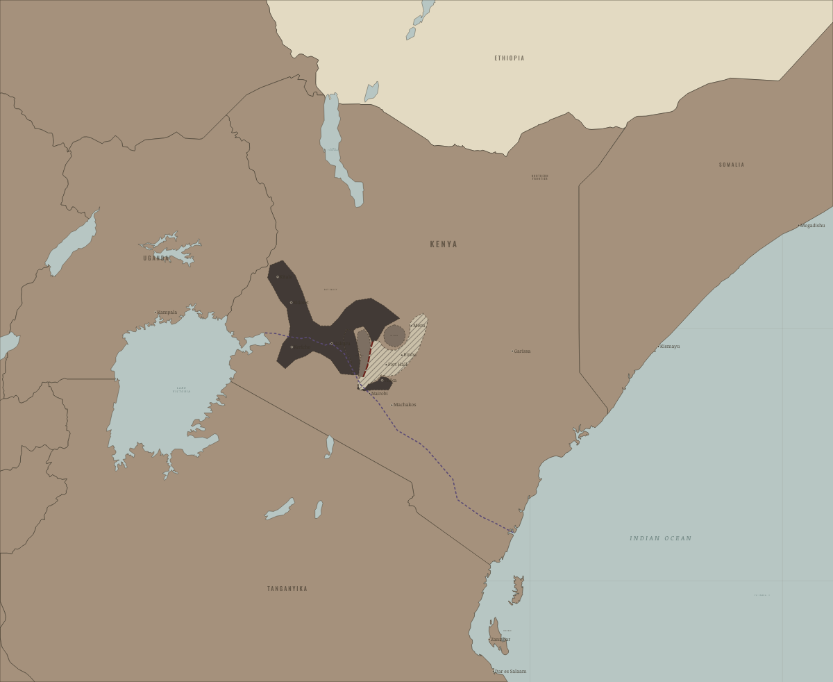
Map of Kenya in 1954
The Emergency at its height
Kenya in 1954: The Emergency at its height. The map shows who held what: Under colonial rule.
Open this map in the interactive atlas →
WW2 is free — every chapter. Try chapters 1–2 of any 2 other atlases (3 with a free account). Opening a new atlas uses one of them. Membership opens all 21 — Join.
Free printable Haiti and Kenya independence study guide, sent by email ↓
On the ground
- an Emergency special area: the Kikuyu, Embu and Meru reserves
- a prohibited area: the Aberdare forest bases of the Land and Freedom Army
- a prohibited area: the Mount Kenya forest bases of the Land and Freedom Army
The chapters of this moment
Related maps
THE FREE PRINTABLE STUDY GUIDE
Join the Dispatch — a short welcome series, then a letter when a new atlas opens — and the printable study guide for Two Roads to Independence is yours now, free.
NO TRACKING · YOUR ADDRESS IS USED FOR THE DISPATCH AND NOTHING ELSE · UNSUBSCRIBE ANYTIME