ON THIS DAY ·
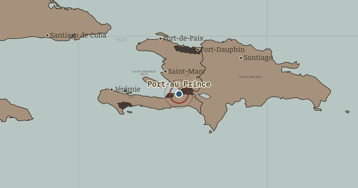
Port-au-Prince
1770–1915 — The colonial capital from 1770. As Port-Républicain it hosted the assembly that adopted Toussaint’s constitution on 9 May 1801; in July 1825 President Boyer accepted France’s indemnity here under Mackau’s guns; in December 1914 US Marines removed the national bank’s gold.
WW2 is free — every chapter. Try chapters 1–2 of any 2 other atlases (3 with a free account). Opening a new atlas uses one of them. Membership opens all 21 — Join.
Free printable Haiti and Kenya independence study guide, sent by email ↓
The moment in context
Saint-Domingue’s wealth bound France, Africa and the Americas into a single system, and the arrows on the map show its working parts. Ships from Nantes, Bordeaux and Le Havre carried French goods to the African coast, bought captives there and landed nearly 30,000 people a year in the colony during the late 1780s, most of them from West Central Africa, the region of the Kongo kingdom, and from the Bight of Benin, the stretch of coast that is today Togo, Benin and south-western Nigeria. The colony’s 800 or so sugar estates and more than 3,000 coffee farms sent their produce back to French ports, to be refined and re-exported across Europe. Cap-Français, the main port, known to everyone as Le Cap, had a theatre, newspapers and a scientific society. The colony looked like a model of modern prosperity, and its prosperity depended on the most brutal labour system of the age.
From Slavery in colonial Saint-Domingue, chapter 1 of Two Roads to Independence: Haiti 1789–1838 and Kenya 1895–1978 (1789).
The place: Port-au-Prince — map and full story →
Teach this in 5 minutes
- Why it happened — Sugar demanded an unending supply of labour. Sugar was the most profitable crop of the eighteenth century and the most demanding of labour, since cane had to be cut and milled within hours to…
- The turn — Cap-Français, autumn 1789. News from Paris reached Le Cap in the autumn of 1789, and it is the hinge of this chapter because it split the colony’s masters. The…
- What it changed — The colonists demand power. Planters elected colonial assemblies, the most radical meeting at Saint-Marc in 1790, and defied the royal governor in the name of colonial…
Then ask the room: Was Saint-Domingue’s wealth the main reason it erupted into revolution? The argued answer is on the chapter page →
The atlas that shows it
THE FREE PRINTABLE STUDY GUIDE
Join the Dispatch — a short welcome series, then a letter when a new atlas opens — and the printable study guide for Two Roads to Independence is yours now, free.
NO TRACKING · YOUR ADDRESS IS USED FOR THE DISPATCH AND NOTHING ELSE · UNSUBSCRIBE ANYTIME