ON THIS DAY ·
Queen Victoria’s Proclamation
1 Nov 1858 — Lord Canning, now Viceroy, read Queen Victoria’s proclamation: the Company was gone, the Crown would annex no more princely states, would respect Indian religion and custom, and would see its subjects “freely and impartially admitted” to office. That last promise went largely unkept for decades.
WW2 is free — every chapter. Try chapters 1–2 of any 2 other atlases (3 with a free account). Opening a new atlas uses one of them. Membership opens all 21 — Join.
Free printable Indian independence study guide, sent by email ↓
The moment in context
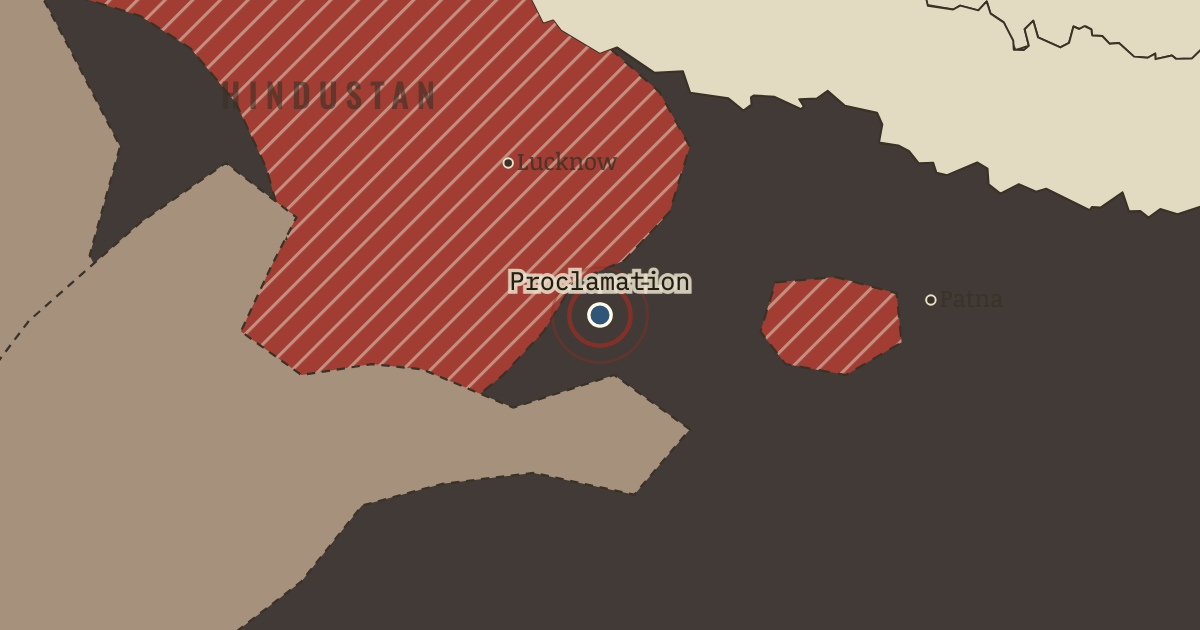
The rising broke out where Company rule had most recently overturned established interests, and the hatched lands on the map of January 1857 show where those were. The Governor-General, Lord Dalhousie, the Company’s chief executive in India, used the Doctrine of Lapse to take Satara, Jhansi and Nagpur. Under this rule a dependent state passed to the Company when its ruler died without a natural son, much as if a government seized a family firm left to an adopted child. In 1856 he annexed Awadh (Oudh), home to many of the Bengal Army’s sepoys, the Company’s Indian soldiers. New revenue settlements, the official assessments of who held each village and what tax it owed, then stripped its great landholders, the talukdars, of villages their families had held for generations. Caste, the inherited rank that governed whom a Hindu could marry or eat with, sharpened every grievance, since overseas service and cartridges said to hold the fat of cows, sacred to Hindus, or of pigs, forbidden to Muslims, threatened soldiers’ standing at home.
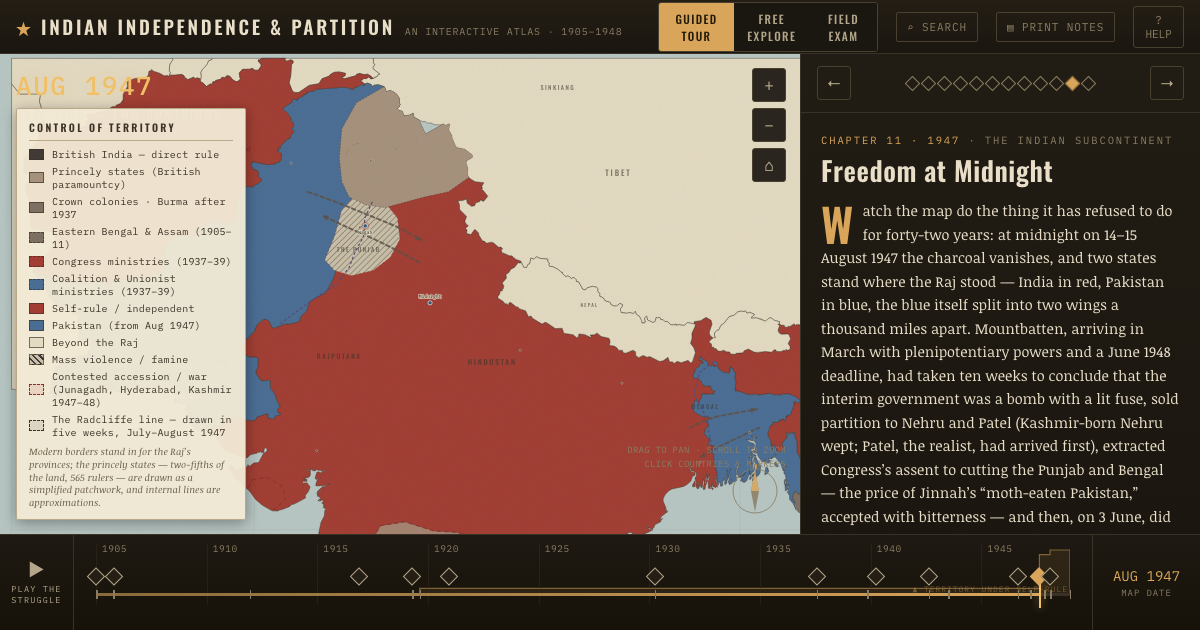
From Indian Rebellion of 1857, chapter 1 of Indian Independence & Partition, 1857–1964 (JUL 1857).
The place: Queen Victoria’s Proclamation — map and full story →
Teach this in 5 minutes
- Why it happened — Dalhousie’s annexations and the Doctrine of Lapse. Dalhousie’s annexations gave every Indian ruler a reason to fear the Company. Between 1848 and 1856 he added more territory to British India than…
- The turn — Delhi, 11 May 1857. The hinge of 1857 is the morning the Meerut troopers reached Delhi and persuaded the reluctant Bahadur Shah Zafar, aged eighty-one, to accept their…
- What it changed — The Crown replaces the Company. The rebellion moved the government of India from a trading company to the British state itself. The Government of India Act of 2 August 1858 ended…
Then ask the room: Was the rising of 1857 a mutiny, a peasants’ war or a war of independence? The argued answer is on the chapter page →
The atlas that shows it
THE FREE PRINTABLE STUDY GUIDE
Join the Dispatch — a short welcome series, then a letter when a new atlas opens — and the printable study guide for Indian Independence & Partition is yours now, free.
NO TRACKING · YOUR ADDRESS IS USED FOR THE DISPATCH AND NOTHING ELSE · UNSUBSCRIBE ANYTIME