ON THIS DAY ·
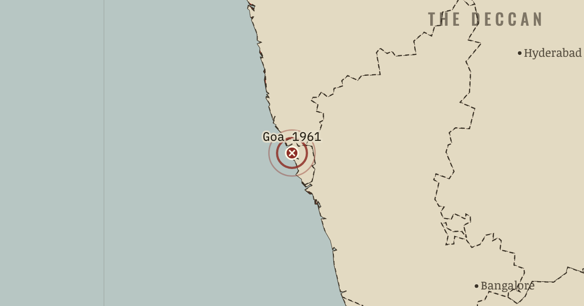
Annexation of Goa
18–19 Dec 1961 — After fourteen years of refused negotiation, some 45,000 Indian troops entered Goa, Daman and Diu. The governor-general surrendered within two days against Salazar’s order to fight to the last man; about 22 Indians and 30 Portuguese were killed, and 451 years of Portuguese rule ended.
WW2 is free — every chapter. Try chapters 1–2 of any 2 other atlases (3 with a free account). Opening a new atlas uses one of them. Membership opens all 21 — Join.
Free printable Indian independence study guide, sent by email ↓
The moment in context
The constitution that came into force on 26 January 1950, the supreme law setting out how India would be governed and what its citizens could claim, turned a colony of subjects into a republic of citizens, and its choices were bolder than most observers expected. Its drafting committee, chaired by B. R. Ambedkar, a Dalit from one of the castes Hindu custom had branded “untouchable”, gave the vote to every adult over twenty-one when most Indians could not read. It listed rights that courts could enforce, abolished untouchability in Article 17 and reserved seats in parliament for the lowest castes and for tribal peoples, much like a modern quota. The first general election, held between 25 October 1951 and 21 February 1952, tested the gamble. About 173 million registered voters chose a parliament at some 196,000 polling booths, with a separate ballot box marked by a party symbol for each candidate so that people who could not read could still choose. Congress won 364 of 489 seats with 45 per cent of the vote, and a population outsiders thought unready for democracy proved that it could run one.
From India under Nehru, chapter 15 of Indian Independence & Partition, 1857–1964 (MAY 1964).
The place: Annexation of Goa — map and full story →
Teach this in 5 minutes
- Why it happened — Partition’s legacy: a state that feared its own divisions. The republic’s founders wrote the constitution in the shadow of 1947, and their fear of further fragmentation shaped it. Partition had shown how…
- The turn — Madras, 15 December 1952. The death of Potti Sriramulu is the hinge of the republic’s first years because it showed that the new state would yield to democratic pressure over…
- What it changed — A democracy that held. India’s democracy proved durable in exactly the years when it was most fragile. The second and third general elections were held on time in 1957 and…
Then ask the room: By 1964, had independence delivered what the national movement had promised? The argued answer is on the chapter page →
The atlas that shows it
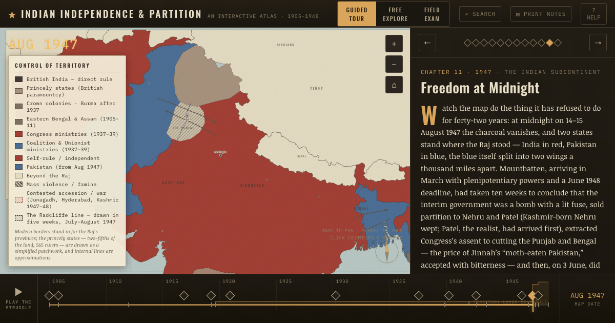
THE FREE PRINTABLE STUDY GUIDE
Join the Dispatch — a short welcome series, then a letter when a new atlas opens — and the printable study guide for Indian Independence & Partition is yours now, free.
NO TRACKING · YOUR ADDRESS IS USED FOR THE DISPATCH AND NOTHING ELSE · UNSUBSCRIBE ANYTIME