Norse and Aztecs · TURNING POINT ·
Flateyjarbók (1387–94)
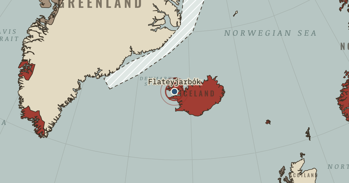
On the Norse and Aztecs map as “Flatey — the book of the island”
1387–94 — Flateyjarbók, the largest medieval Icelandic manuscript, is named after this island farm in Breiðafjörður, whose owner gave it to the bishop of Skálholt in 1647. It reached the Danish king in 1656 and came home to Reykjavík on 21 April 1971. It preserves the Saga of the Greenlanders, written centuries after the voyages it describes.
- When
- Type
- Turning point
- Chapter
- Medieval Warm Period and Little Ice Age (chapter 1 of Norse and Aztecs)
- Atlas
- Climate and Innovation: The Norse and the Aztecs, c. 790–1521
WW2 is free — every chapter. Try chapters 1–2 of any 2 other atlases (3 with a free account). Opening a new atlas uses one of them. Membership opens all 21 — Join.
Free printable Norse and Aztecs study guide, sent by email ↓
In the same chapter
Related
THE FREE PRINTABLE STUDY GUIDE
Join the Dispatch — a short welcome series, then a letter when a new atlas opens — and the printable study guide for Climate and Innovation is yours now, free.
NO TRACKING · YOUR ADDRESS IS USED FOR THE DISPATCH AND NOTHING ELSE · UNSUBSCRIBE ANYTIME