Norse and Aztecs · TURNING POINT ·
Farm Beneath the Sand (1000–1350)
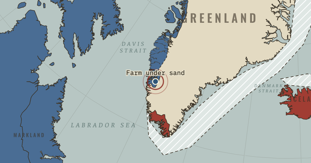
On the Norse and Aztecs map as “The Farm Beneath the Sand”
c. 1000–1350 — The Farm Beneath the Sand, in the Western Settlement, was found in 1991 under about 1.5 metres of windblown sand and excavated until 1996. Rebuilt at least eight times, it appears to have been left in an orderly way in the mid-fourteenth century.
- When
- Type
- Turning point
- Chapter
- Why the Norse abandoned Greenland (chapter 5 of Norse and Aztecs)
- Atlas
- Climate and Innovation: The Norse and the Aztecs, c. 790–1521
Chapter 5 is part of membership. WW2 is free — every chapter. Try chapters 1–2 of any 2 other atlases (3 with a free account). Opening a new atlas uses one of them. Membership opens all 21 — Join.
Free printable Norse and Aztecs study guide, sent by email ↓
In the same chapter
Related
THE FREE PRINTABLE STUDY GUIDE
Join the Dispatch — a short welcome series, then a letter when a new atlas opens — and the printable study guide for Climate and Innovation is yours now, free.
NO TRACKING · YOUR ADDRESS IS USED FOR THE DISPATCH AND NOTHING ELSE · UNSUBSCRIBE ANYTIME