The Great War, 1871–1923
WWI maps by year
29 historical maps of The Great War, 1871–1923, one for each turning point: who controlled what, and what changed since the map before.
Explore every date in the interactive atlas →
WW2 is free — every chapter. Try chapters 1–2 of any 2 other atlases (3 with a free account). Opening a new atlas uses one of them. Membership opens all 21 — Join.
Europe
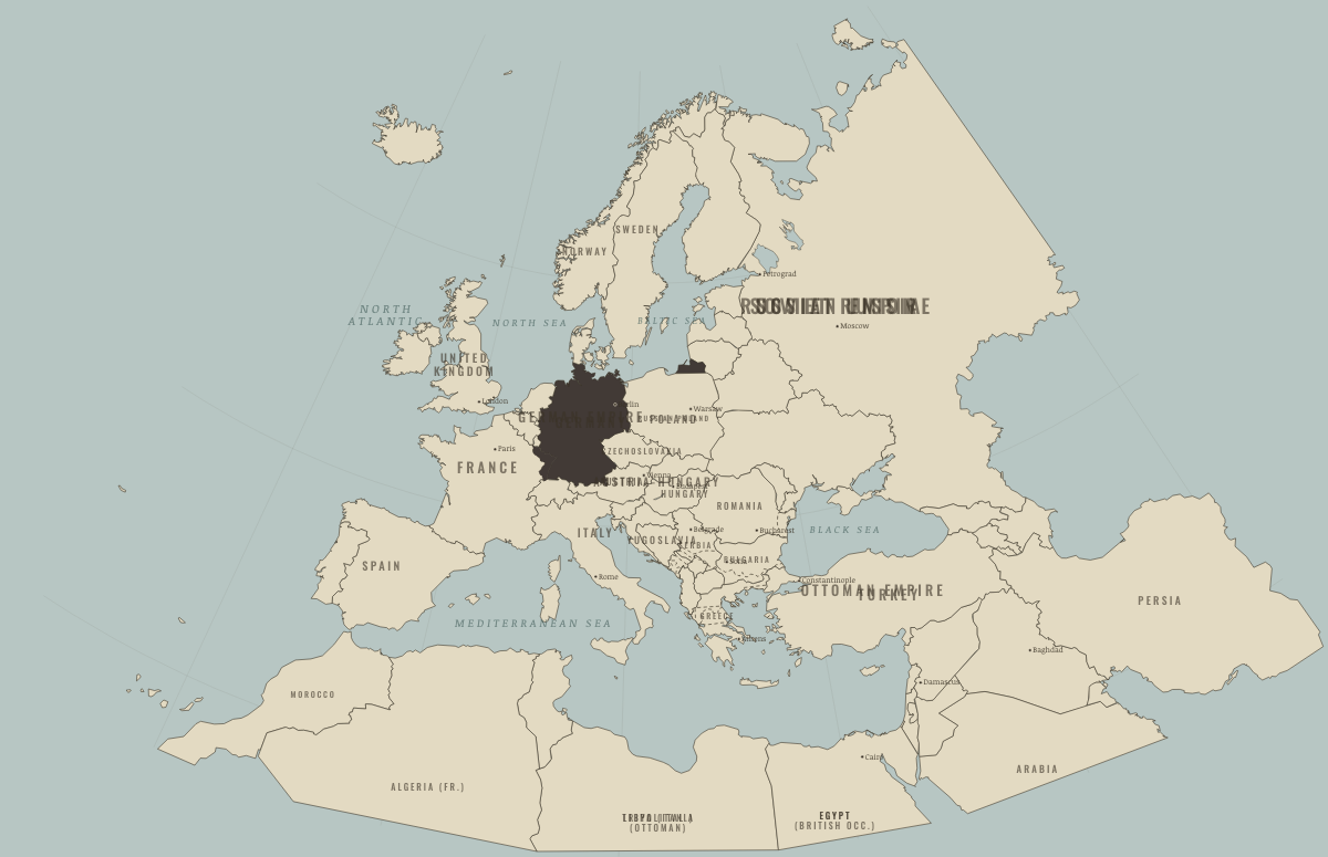
May 1871
A NEW EMPIRE IN THE MIDDLE
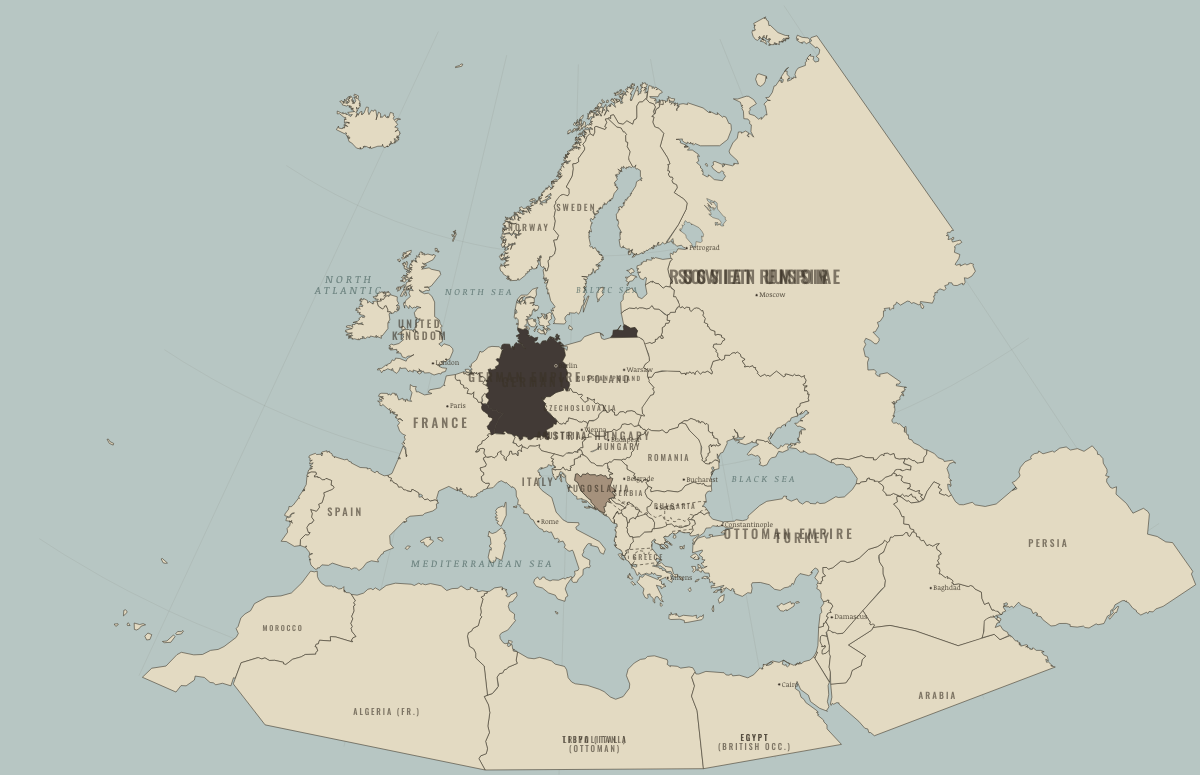
July 1878
THE CONGRESS OF BERLIN
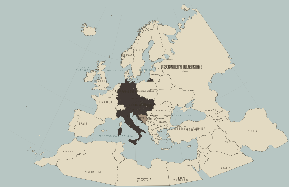
September 1882
BISMARCK’S WEB
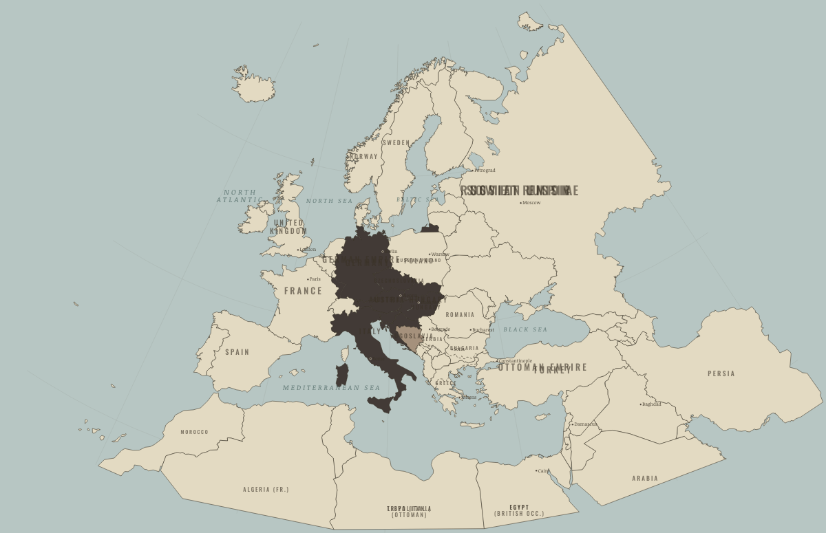
June 1890
THE WIRE TO RUSSIA IS CUT
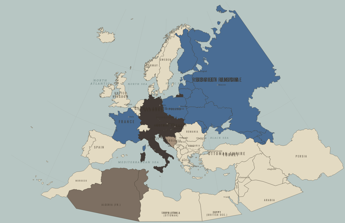
January 1894
THE FRANCO-RUSSIAN ALLIANCE
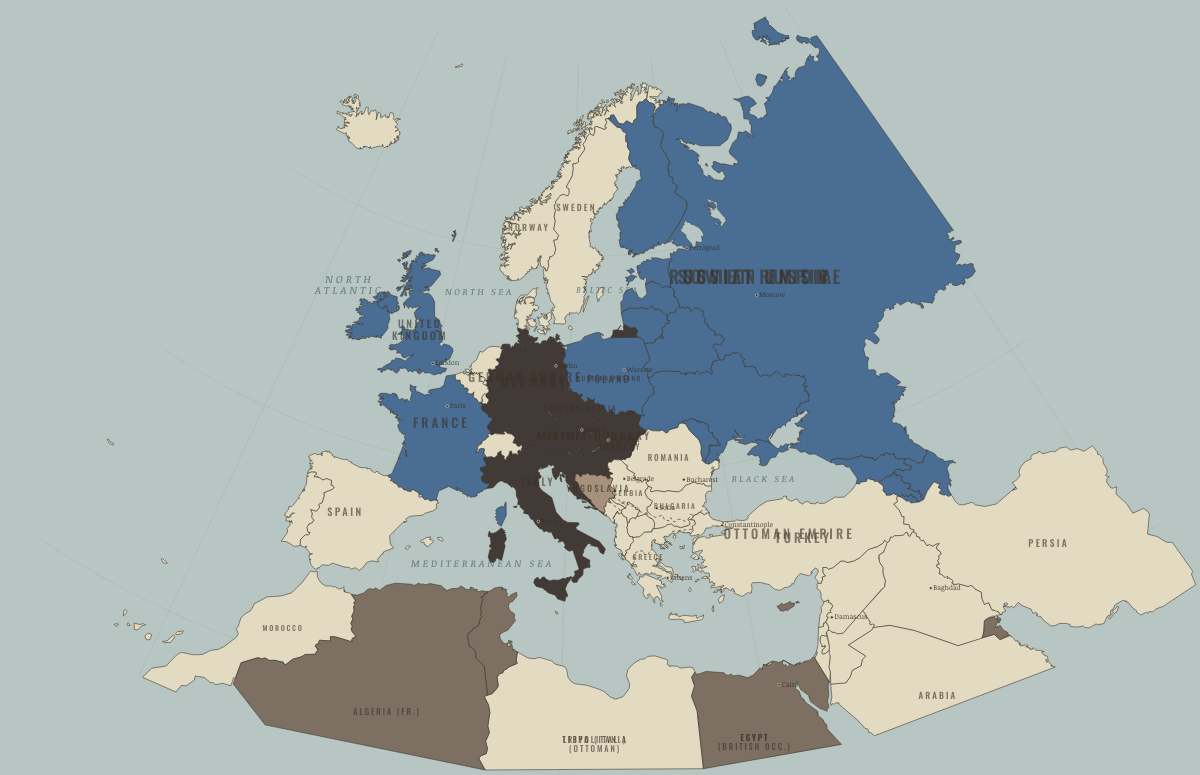
April 1904
THE ENTENTE CORDIALE
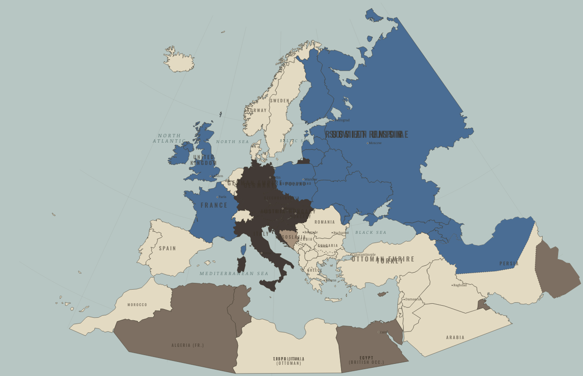
August 1907
TWO BLOCS
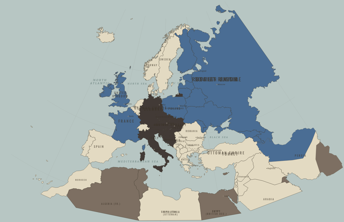
October 1908
THE ANNEXATION OF BOSNIA
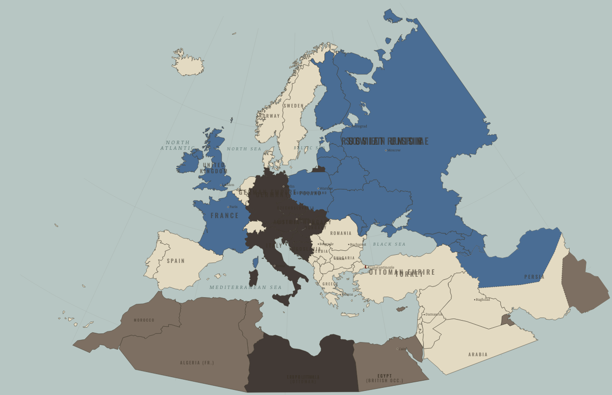
December 1912
THE FIRST BALKAN WAR
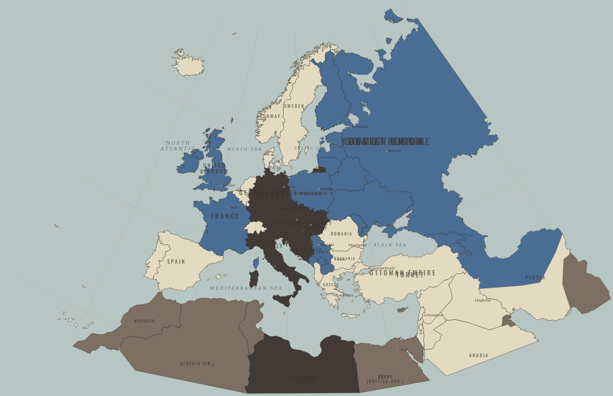
August 1913
THE TREATY OF BUCHAREST

July 1914
THE POWDER KEG

August 1914
THE GUNS OF AUGUST

September 1914
THE MARNE — THE SHORT WAR DIES

November 1914
THE OTTOMANS ENTER

November 1915
THE WIDENING WAR

December 1916
THE FURNACES

April 1917
THE STRAIN OF THREE YEARS

November 1917
REVOLUTION, AND CAPORETTO

March 1918
BREST-LITOVSK — THE OCCUPIED EAST

July 1918
THE HIGH-WATER MARK IN THE WEST
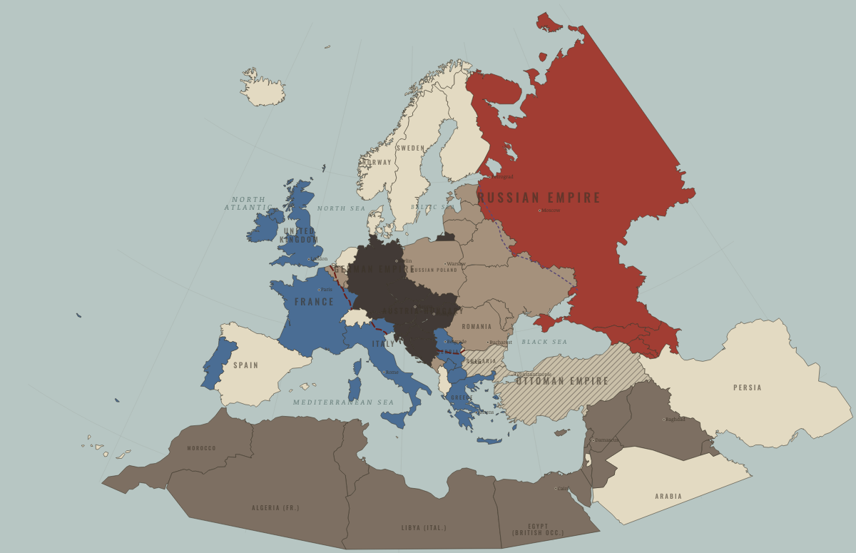
October 1918
THE SOUTHERN WALL FALLS

November 1918
ARMISTICE

June 1919
THE NEW MAP
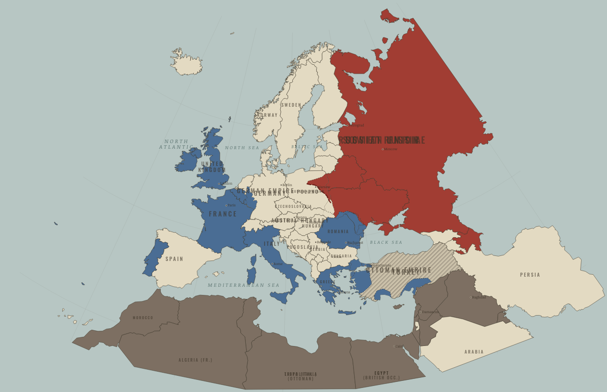
August 1920
WARSAW AND SÈVRES
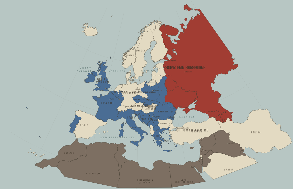
July 1923
THE MAP OF 1923
The world

November 1914
A WORLD OF EMPIRES AT WAR

December 1915
THE COLONIAL CAMPAIGNS

April 1917
AMERICA COMES IN

November 1918
THE ARMISTICE WORLD
Historical maps from every atlas, by year →
THE FREE PRINTABLE STUDY GUIDE
Join the Dispatch — a short welcome series, then a letter when a new atlas opens — and the printable study guide for WWI is yours now, free.
NO TRACKING · YOUR ADDRESS IS USED FOR THE DISPATCH AND NOTHING ELSE · UNSUBSCRIBE ANYTIME