Indian independence · TURNING POINT ·
India’s first general election (1951)
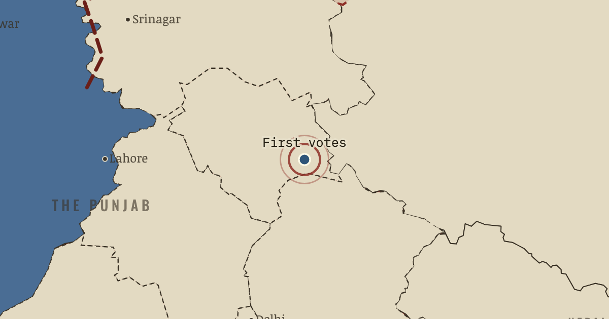
On the Indian independence map as “Kalpa — the first votes”
25 Oct 1951 — Snow would close the high valleys of Himachal by winter, so the first votes of India’s first general election were cast in the Chini valley around Kalpa, months before the rest of the country. A schoolteacher, Shyam Saran Negi, voted first, and he voted in every general election until his death in November 2022.
- When
- Type
- Turning point
- Chapter
- India under Nehru (chapter 15 of Indian independence)
- Atlas
- Indian Independence & Partition, 1857–1964
Chapter 15 is part of membership. WW2 is free — every chapter. Try chapters 1–2 of any 2 other atlases (3 with a free account). Opening a new atlas uses one of them. Membership opens all 21 — Join.
Free printable Indian independence study guide, sent by email ↓
In the same chapter
Related
THE FREE PRINTABLE STUDY GUIDE
Join the Dispatch — a short welcome series, then a letter when a new atlas opens — and the printable study guide for Indian Independence & Partition is yours now, free.
NO TRACKING · YOUR ADDRESS IS USED FOR THE DISPATCH AND NOTHING ELSE · UNSUBSCRIBE ANYTIME