Indian independence · BATTLE SITE ·
Sino-Indian War (1962)
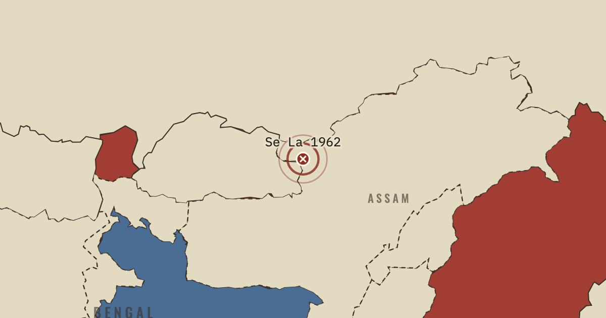
On the Indian independence map as “Se La and Bomdila”
20 Oct – 21 Nov 1962 — China’s army overran the Indian posts below Thag La, took Tawang, and in November broke the defence of the Se La pass and Bomdila, reaching the edge of the Assam plain. Then it declared a ceasefire and withdrew behind the McMahon Line, keeping Aksai Chin.
- When
- Type
- Battle site
- Chapter
- India under Nehru (chapter 15 of Indian independence)
- Atlas
- Indian Independence & Partition, 1857–1964
- Also in
- Mao’s China
Chapter 15 is part of membership. WW2 is free — every chapter. Try chapters 1–2 of any 2 other atlases (3 with a free account). Opening a new atlas uses one of them. Membership opens all 21 — Join.
Free printable Indian independence study guide, sent by email ↓
In the same chapter
Related
THE FREE PRINTABLE STUDY GUIDE
Join the Dispatch — a short welcome series, then a letter when a new atlas opens — and the printable study guide for Indian Independence & Partition is yours now, free.
NO TRACKING · YOUR ADDRESS IS USED FOR THE DISPATCH AND NOTHING ELSE · UNSUBSCRIBE ANYTIME