ONE LAND · 13 ATLASES
History of Luxembourg in maps
Luxembourg as it appears in 13 interactive history atlases, from 264 BC to 2015: Treveran Gaul, Lorraine, Luxembourg. Each era below lists who ruled the land and when control changed, linked to the dated map that shows it.
WW2 is free — every chapter. No sign-up.
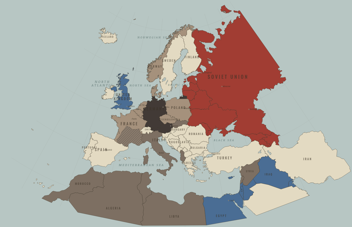
What was Luxembourg before it was Luxembourg? Below, every era of this land in the Maps of History atlases — who ruled it, what it was called, and when control changed — each line linked to the dated map that shows it. Modern borders stand in as an honest approximation; every atlas says so on the map itself.
Treveran Gaul (mod. Luxembourg) · Ancient Rome
| 264 BC | Tribal peoples & confederations — the opening position |
| 50 BC | Roman territory |
| Breakaway Roman empires (260–274) | |
| Roman territory | |
| Former Roman lands (lost) |
ANCIENT ROME: EVERY CHAPTER AND MAP →
Luxembourg · Norse and Aztecs
| Other peoples and states — the opening position |
NORSE AND AZTECS: EVERY CHAPTER AND MAP →
Lorraine (mod. Luxembourg) · Crusades
| Latin Christendom — the opening position |
CRUSADES: EVERY CHAPTER AND MAP →
Luxembourg · Industrial Revolution
| Industrialising — the opening position | |
| Industrialising | |
| Industrialising |
INDUSTRIAL REVOLUTION: EVERY CHAPTER AND MAP →
Luxembourg · Age of Revolutions
| The conservative monarchies — the opening position | |
| Republics & revolutionary states | |
| The conservative monarchies |
AGE OF REVOLUTIONS: EVERY CHAPTER AND MAP →
Luxembourg · Meiji Japan and post-Soviet Russia
| Western powers and allies — the opening position |
MEIJI JAPAN AND POST-SOVIET RUSSIA: EVERY CHAPTER AND MAP →
Luxembourg · WWI
| Under Central Powers occupation — the opening position | |
| Under Central Powers occupation | |
| The Entente & Allies |
Luxembourg · Stalin’s Soviet Union
| Nazi Germany & its allies — the opening position | |
| Nazi Germany & its allies | |
| Other states | |
| Rivals & the Western bloc |
STALIN’S SOVIET UNION: EVERY CHAPTER AND MAP →
Luxembourg · Road to WW2
| Neutral & unaligned — the opening position | |
| Occupied — held by force |
ROAD TO WW2: EVERY CHAPTER AND MAP →
Luxembourg · WW2
| Axis-occupied — the opening position | |
| Axis-occupied | |
| Western Allies |
Luxembourg · Cold War
| NATO & core Western allies — the opening position |
COLD WAR: EVERY CHAPTER AND MAP →
Luxembourg · Feminism and the Tunisian Revolution
| Right won in law — the opening position | |
| No reform yet / outside this story | |
| Partial or unequal; treaty signed only; transition |
FEMINISM AND THE TUNISIAN REVOLUTION: EVERY CHAPTER AND MAP →
Luxembourg · Refugee crises
| Western bloc or democracy — the opening position |
REFUGEE CRISES: EVERY CHAPTER AND MAP →
Related
THE FREE PRINTABLE STUDY GUIDE
Join the Dispatch — a short welcome series, then a letter when a new atlas opens — and a printable atlas study guide of your choice is yours now, free.
NO TRACKING · YOUR ADDRESS IS USED FOR THE DISPATCH AND NOTHING ELSE · UNSUBSCRIBE ANYTIME