Norse and Aztecs · TURNING POINT ·
L’Anse aux Meadows (1021)
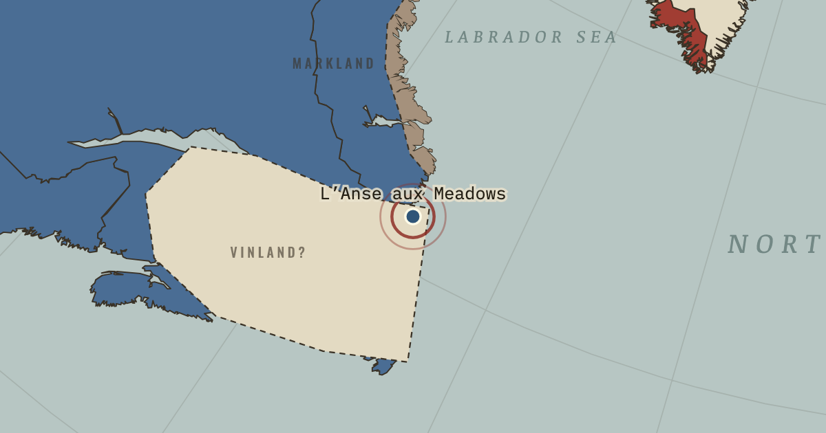
1021 — Norse travellers cut wood with metal tools at this site at the tip of Newfoundland in the year 1021, fixed by a cosmic-ray signal in the tree rings. Discovered in 1960, its eight buildings housed perhaps 70–90 people for a few years. It is the only confirmed Norse site in the Americas.
- When
- Type
- Turning point
- Chapter
- Vikings in Greenland and Vinland (chapter 4 of Norse and Aztecs)
- Atlas
- Climate and Innovation: The Norse and the Aztecs, c. 790–1521
Chapter 4 is part of membership. WW2 is free — every chapter. Try chapters 1–2 of any 2 other atlases (3 with a free account). Opening a new atlas uses one of them. Membership opens all 21 — Join.
Free printable Norse and Aztecs study guide, sent by email ↓
In the same chapter
Related
THE FREE PRINTABLE STUDY GUIDE
Join the Dispatch — a short welcome series, then a letter when a new atlas opens — and the printable study guide for Climate and Innovation is yours now, free.
NO TRACKING · YOUR ADDRESS IS USED FOR THE DISPATCH AND NOTHING ELSE · UNSUBSCRIBE ANYTIME